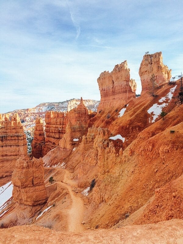
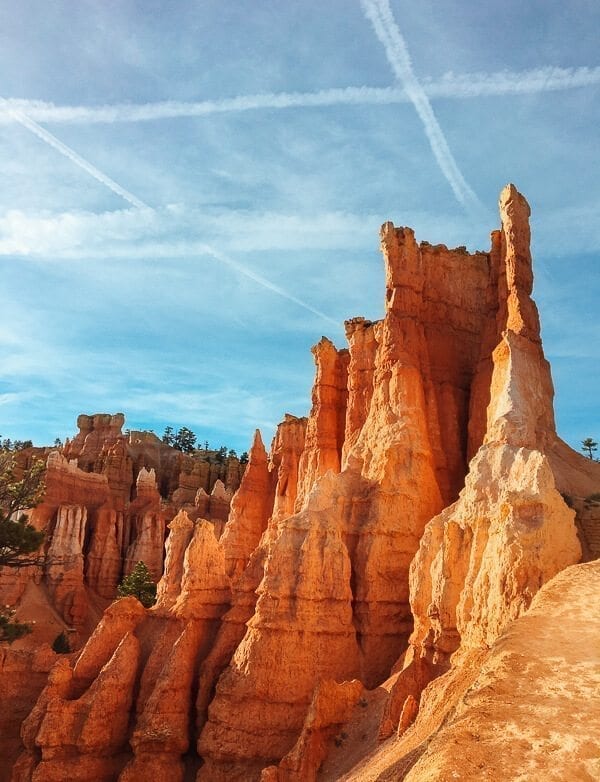
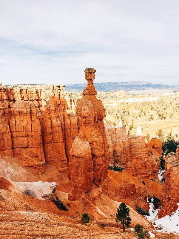
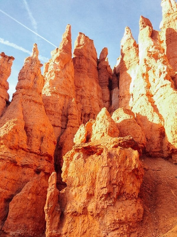
While most city folk don’t necessarily think of sleeping in a tent every night as the ideal vacation, my sister and I can’t get enough of campfire smells, 8-mile hikes, and “No Service” dead zones.
If you’ve been following our blog for a while, you may remember last year’s trip out to California’s Joshua Tree National Park, Sequoia National Park, and Big Sur/the Pacific Coast Highway. Plus, one particular post where Kaitlin shared a quick camping ramen recipe along with a few choice photos from the family album showing the early origins of our “outdoorsy” tendencies.
So it probably comes as no surprise that the “Pack a Suitcase Full of Camping Stuff, Fly West, Rent a Car, and Explore our Nation’s National Parks” model has become our vacation strategy of late. When you’re living and working in New York City, there just comes a point when you realize that you’ve completely missed the “hot trash” smell on your way to work––because that’s just a normal smell––and you can’t remember the last time you saw an animal in its natural habitat that wasn’t a pigeon or a rat.
When you live in a place like that, where else do you decide to go on your next vacation but the great state of Utah?
If you live on the East Coast and aren’t familiar with this large swath of land nestled alongside Nevada and Arizona, you might be thinking Mormon pioneers, and maybe skiing…? But there’s much more to it than that.
After a bit of planning in advance, Kaitlin and I did indeed depart for Utah two weeks ago, deciding that we’d hit Bryce Canyon, Grand Staircase-Escalante National Monument (say it 5 times fast), Capitol Reef National Park, and Zion National Park.
And it. was. amazing.
Seriously, guys, if you’ve never been to Utah, I can’t recommend it highly enough. Kaitlin and I were there for a whole week at the end of March, and it is one of the most amazing places either of us has ever been to. Let me count the reasons:
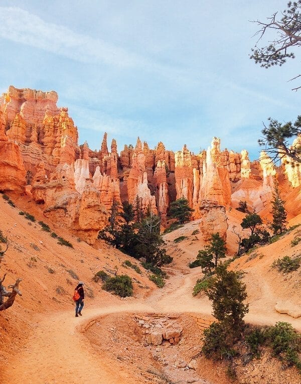
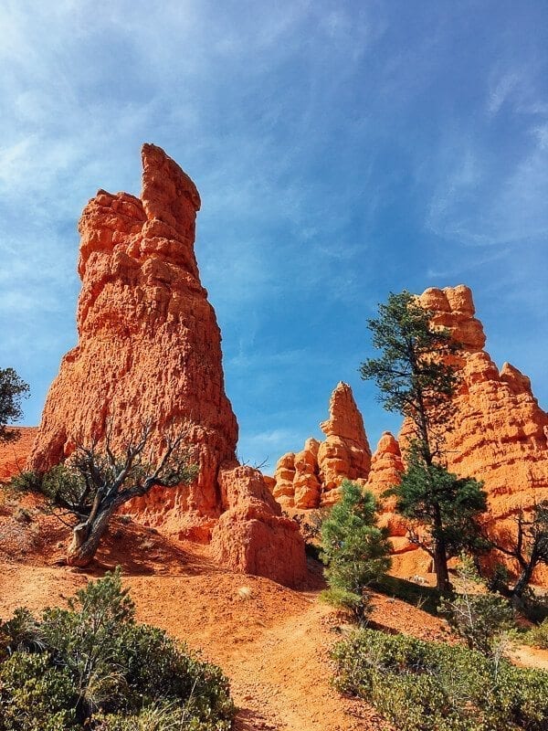
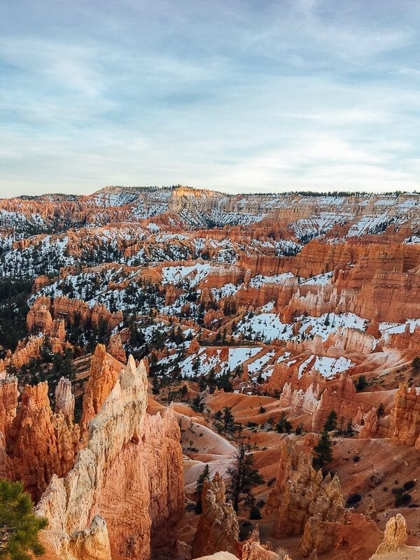
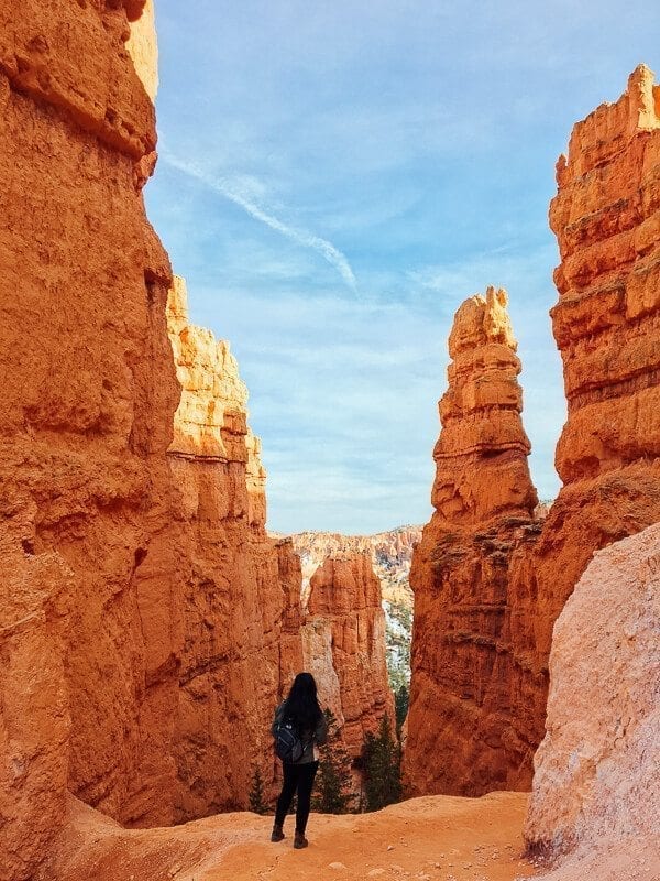
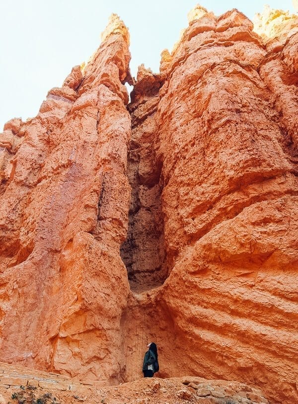
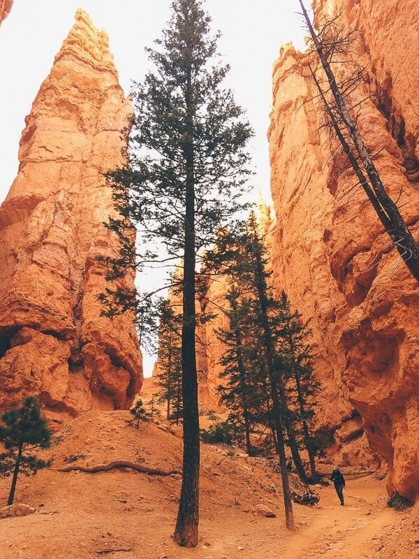
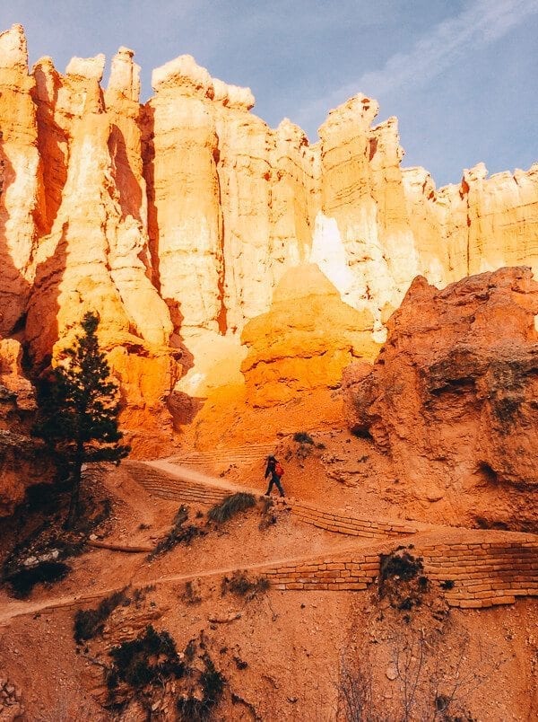
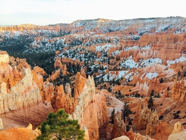
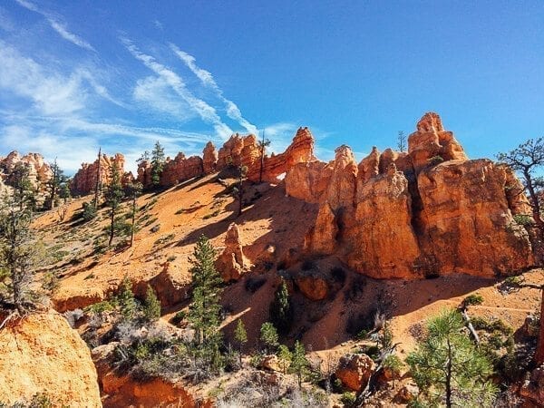
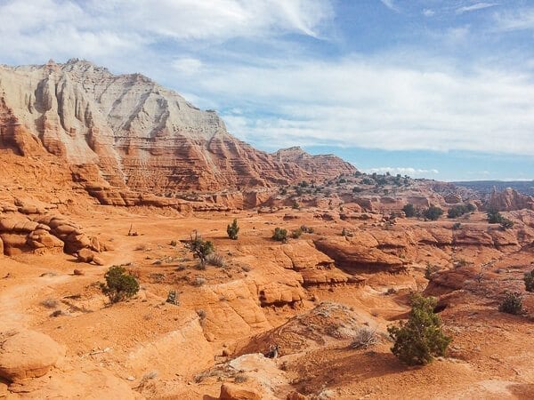
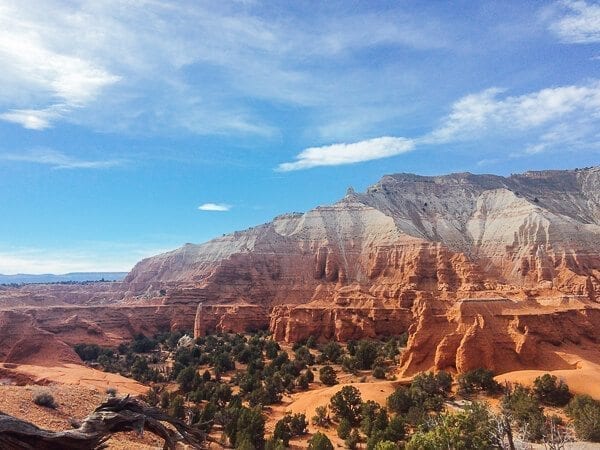
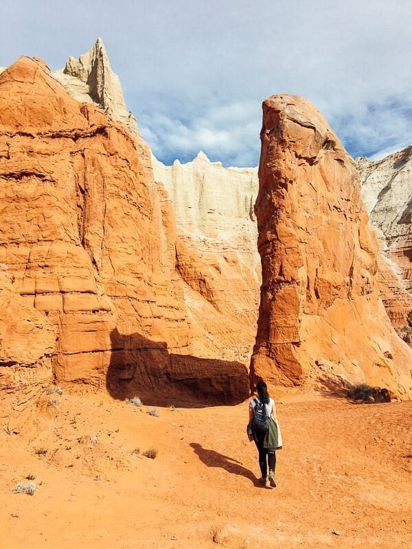
- Hoodoos: Hoodoos are, according to Google/Wikipedia, “tall, thin spires of rock that protrude from the bottom of an arid drainage basin or badland.” Basically, they’re the tall pointy orange rocks in the photos above that you have to see in person to believe. The landscapes across Utah are just unique and incredible. (Also, Kaitlin couldn’t stop saying the word “hoodoos” at the most inappropriate of times. We’d be in the tent, and I’d start falling asleep, and she’d randomly shout “HOODOOS!” Why? Because it’s really, really, really fun to say, apparently.)
- Hiking: We did some incredible hikes while in Utah––winding our way down into Bryce Canyon, trekking uphill to huge natural bridges and arches, jumping across rocks in shallow creeks through narrow slot canyons, and one particularly harrowing hike at Zion National Park that I’ll get to in another post (spoiler alert: we didn’t fall off a cliff, though it was a definite possibility.)
- Proximity: One of the best things about this trip was how close together everything was. Utah has five major national parks, and they’re all within a few hours’ drive of each other, not to mention a collection of state parks, national monuments, national forests, and other incredible places to see. You’d think that with these parks being so close together, that they’d all be quite similar, but each had their own unique atmosphere. While we only hit 3 out of the 5 national parks in our short time in Utah, we also did manage to drive through Kodachrome Basin State Park, Grand-Staircase Escalante National Monument, Dixie National Forest, Boulder Mountain, and even Valley of Fire State Park in Nevada on our way back to Vegas (where we flew in and out).
And no, the Utah Office of Tourism did not coerce me into saying any of those things. (But also, Utah–it’s LIFE ELEVATED.)
Kidding. Haha.
I will also say that they have one of the most helpful tourism websites ever––like, actual real details on where to go, which hikes to do, how to get to certain trailheads, and lots of other stuff that my Type-A brain in trip-planning mode promptly copied and pasted into her “Utah Trip” Google Doc. #nerd
As you can tell, I’m really excited to share this trip with you all, and Kaitlin & I are going to do so in 3 parts––one for each major park: Bryce Canyon, Capitol Reef, and Zion. We’ll be publishing this series on Mondays from now into the third week of April.
So, in case you haven’t figured it out, I’m starting. With Bryce Canyon.
I learned of the existence of Bryce Canyon early on in life, when my dad went on a camping trip to Utah with a friend of his––Mitch, a former co-worker turned camping/hiking buddy turned lifelong family friend. My mom, sister, and I (around eight or nine years old at the time) stayed at home, but I remember my dad effusively describing how amazing it was when he returned from the trip.
So now that I’ve gone from a $5 allowance to a travel rewards credit card, this Bryce Canyon was a place I wanted to see for myself.
We flew into Las Vegas on a Friday night, stayed at a hotel by the airport, and by early Saturday morning, we were stocking up on firewood and food at Trader Joe’s. Our walk through the Henderson, NV Trader Joe’s probably took longer than it should have.
An hour in, one of the ladies working there interrupted a heated debate we were having about whether to get not one, but two bags of Tuscan kale, and goes, “YOU guys are still here?”
We care about food. Especially while camping. We pore over avocado counts and the merits and uses of chicken vs. pork. It’s serious stuff, guys.
But once we got that all settled, we were on the road to Bryce.
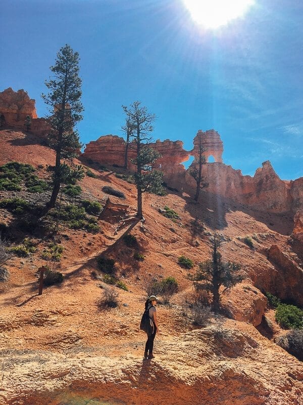
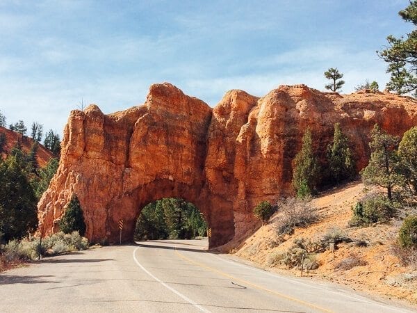
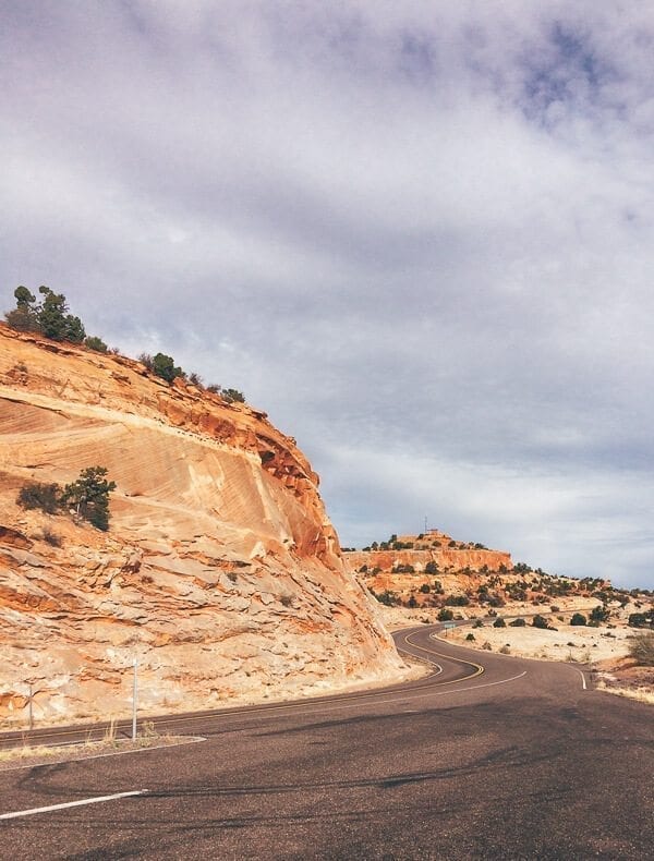
We knew we were getting close when we drove through this little natural archway:
And started seeing things like this:
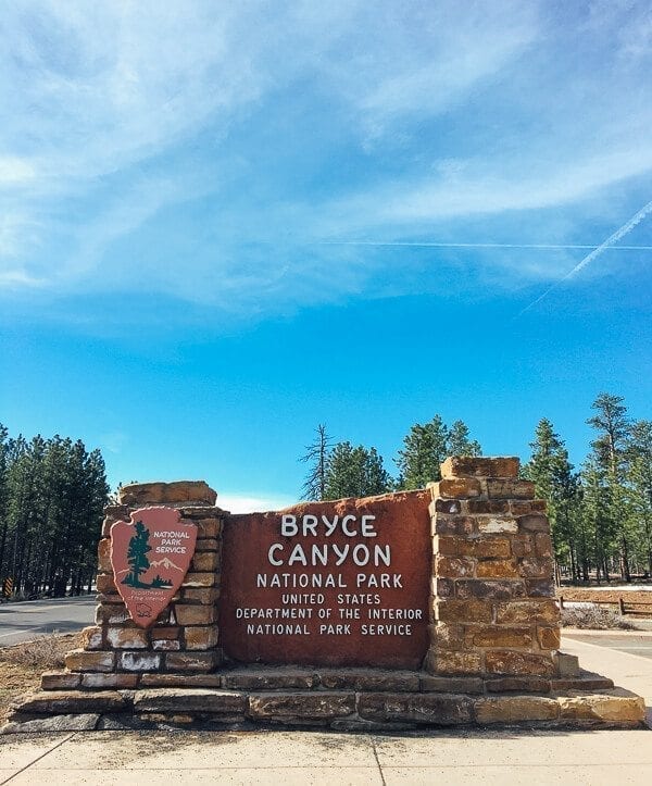
By the time we got to the park entrance, it was late afternoon––around 4:30.
But with plenty of sunlight, and sunset not until 7:30, we decided to drive straight to the canyon. We saw some signs for “Sunset Point” and pulled into the parking lot.
From the parking lot, the place didn’t look like much. It was sort of a wooded area, and the canyon wasn’t readily visible. But we got out of the car, and walked where the signs pointed. There was that feeling of giddy anticipation, when you know you’re going to see something really cool.
Kaitlin even said, “This is gonna be amazing, I can feel it.”
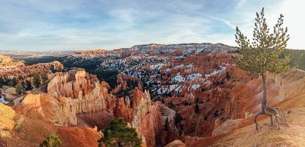
And the canyon didn’t disappoint.
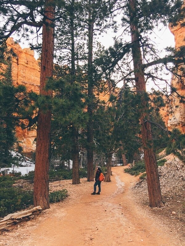
It was late March, so while the temperature was mild (60-65 degrees F), there was still snow in the canyon, stark against the bright orange rock and evergreen trees.
We ooh’ed and ahh’ed for a good 20 minutes, reveling in the glorious feeling of being on vacation, walking along the “Rim Trail”––basically a sidewalk along the rim of the canyon––and then decided to go for a quick hike.
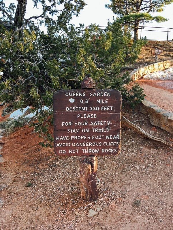
I vaguely remembered that you could hike down into the canyon from Sunset point, and hike back out of the canyon to end up at Sunrise Point. Which sounded like a good enough plan.
What we ended up doing was the Queens Garden/Navajo Loop trail, which is apparently one of the best hikes in the park.
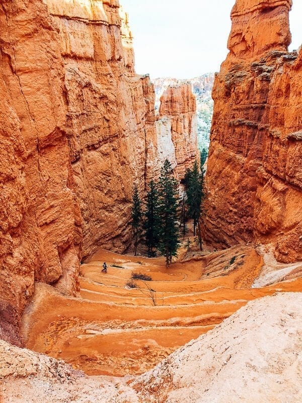
We went straight down into the canyon, on these really cool switchbacks (definitely not the last ones we’d be hiking while in Utah).
And gawked at everything.
Of course, when you hike downhill into a canyon, you have to hike uphill to get back out.
Which, admittedly, was a little rough for two people used to the flat sidewalks of NYC who had done zero training whatsoever beforehand beyond some pitiful squats in front of the TV the night before our flight. (True story.)
But whenever we got tired, we’d just stop and admire the view. The late afternoon light was amazing, and the weather was perfect for hiking. Because March is shoulder season for Bryce Canyon, and the hour was closing in on dinnertime, there were very few people on the trail.
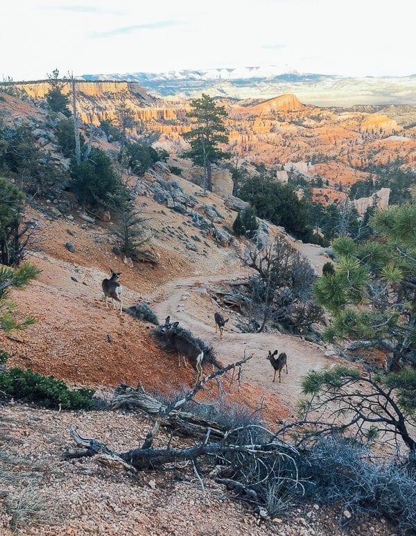
By the time we got back to the rim of the canyon, the sun was setting, just the tips of the hoodoos were glowing with light, and the mule deer were venturing out of hiding.
Couldn’t have asked for a better first day.
On Sunday morning, we headed to the visitor center (which had been closed upon our arrival the day before), and got the lay of the land. As it turned out, we’d already done the most recommended hike in the park. We decided to venture a little bit off the beaten path, and headed down Highway 12, towards Grand Staircase-Escalante National Monument and Kodachrome Basin State Park, about 45 minutes to an hour away.
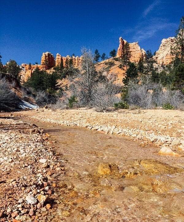
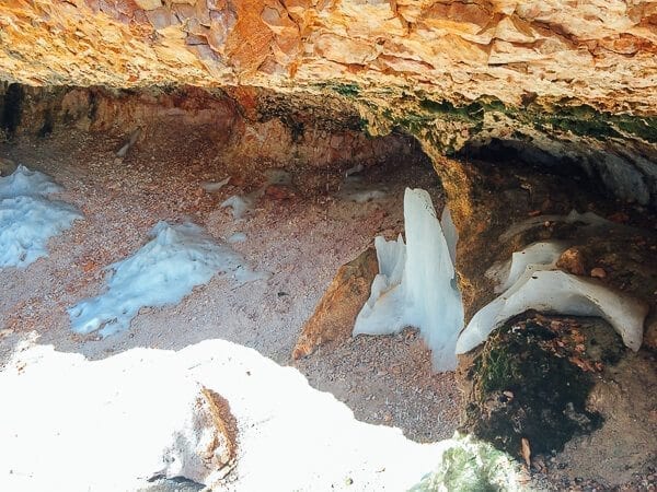
First, we did a really quick walk on the Mossy Cave trail while still in the Bryce Canyon National Park area, which we saw on the side of the road.
There, we saw this little cave-like overhang, where icicles were still melting in the 70 degree weather.
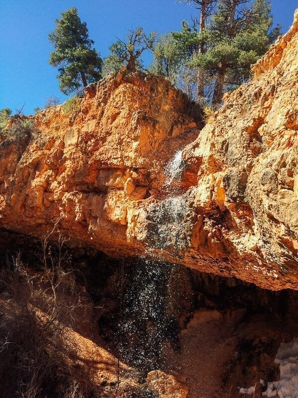
Complete with a little waterfall above it.
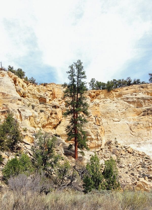
The rock formations there were pretty amazing too. And of course–HOODOOS.
We continued along Highway 12, where we had an amazing view of the canyon to our right. A ways down the road, we turned right when we saw a sign for Kodachrome Basin State Park, and passed one of the Grand Staircase-Escalante National Monument visitor centers in a tiny town I can’t remember the name of. But I remember it was next to a church, because it was a Sunday, and local families where enjoying the sun after the morning service had ended.
The visitor center looked deserted––we thought it was closed.
But I walked in, and there was a really helpful guy there who suggested we try hiking the Willis Creek Narrows before going to Kodachrome Basin. He drew us a little map, which included directions to drive about 6 miles down a dirt road (called “Skutumpah Road,” if you wanted to know). And I was glad that I’d had the foresight to rent an SUV.
He also drew a map of the trail, saying, “And when you reach this point, you can do a short hike up in this direction, where you’re going to find something interesting. I won’t tell you what it is, but you should go find it.”
Filled with a newfound sense of purpose (thanks, visitor center guy!), we drove out in search of Willis Creek.
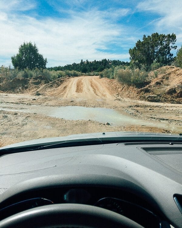
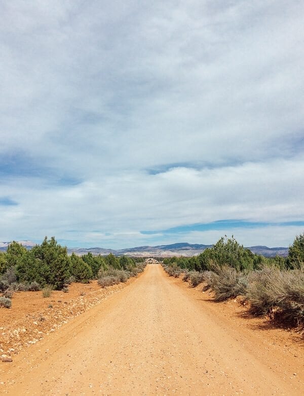
We did indeed have to drive quite a ways on a dirt road, including a couple shallow creek crossings that made me feel like I was in an SUV commercial. (Were we driving over a lumpy dirt road to the trail? Or were we driving to FREEDOM on an EPIC JOURNEY CALLED LIFE? Who can say?)
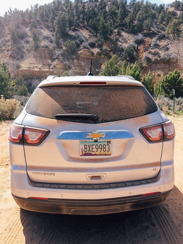
By the time we got to the parking area, the car was covered with orange dust.
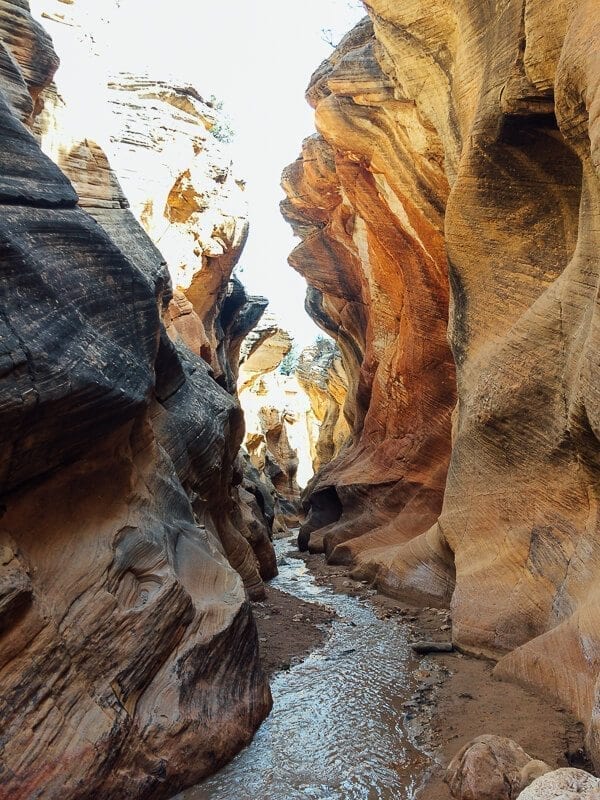
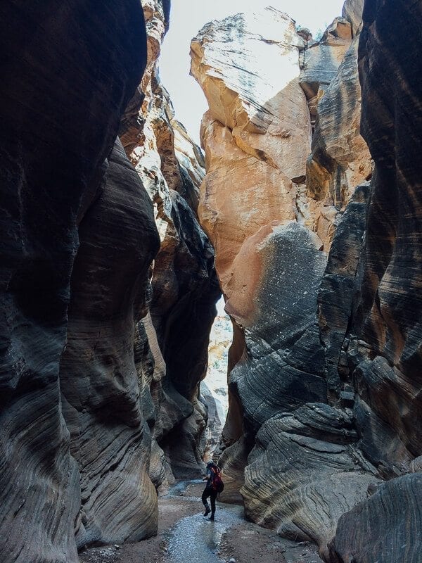
But Willis Creek––true to Utah-form––was a slot canyon hike that turned out to be just as amazing as our Bryce Canyon hike the day before. Here’s what it looked like:
As you can see, there’s a shallow creek running through the entire trail, and while you could walk on dirt in some areas, other parts of the trail required you to either walk in the creek itself, or hopscotch across rocks to avoid getting your boots wet, with the canyon walls rising high above you.
Which was really, really fun.
We did end up finding the “secret spot” that the visitor center guy had referred to, though it took a little while. We were kind of blundering around, trying to decide if we’d reached the point in the trail that he’d been talking about…
When we saw this tiny trail marker and a vague footpath at what we’d finally realized was the junction of Willis Creek and Sheep Creek, about 2 to 2 1/2 miles into the trail.
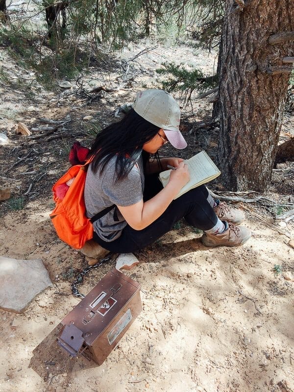
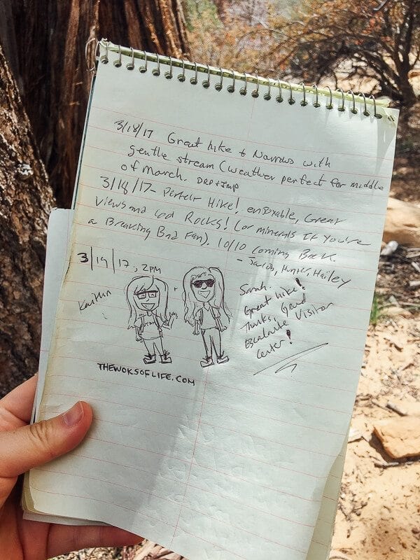
It led up a little hill, to a wall of rock with carvings that had been left by countless passers-by––names, messages, years visited. And while it’s probably not a great thing to carve your name into a rock in a place where you’re supposed to “leave no trace,” we did find this little locked box, with a notebook in it:
It had a bunch of messages from others who had hiked through and discovered it, going back months. Kaitlin decided to include our own little sign-off:
And we hiked back out. Round trip, it was a little over 4 miles. Definitely a highlight on just Day 2 of the Utah adventure.
We headed back out via Skutumpah Road…(BACK ON THE JOURNEY OF LIFE)
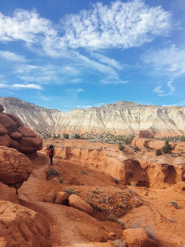
And continued on to Kodachrome Basin State Park.
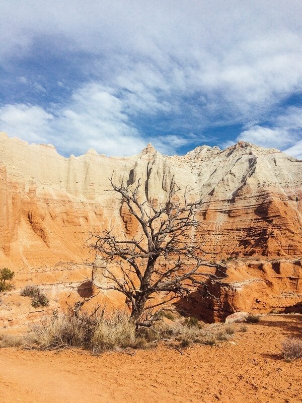
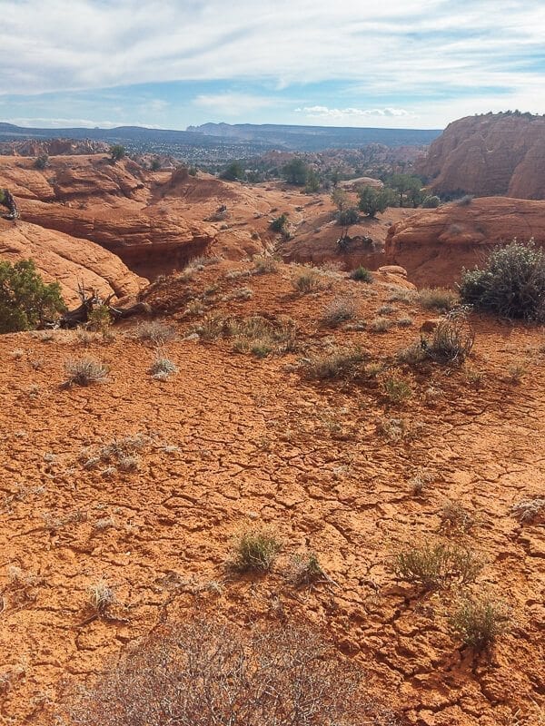
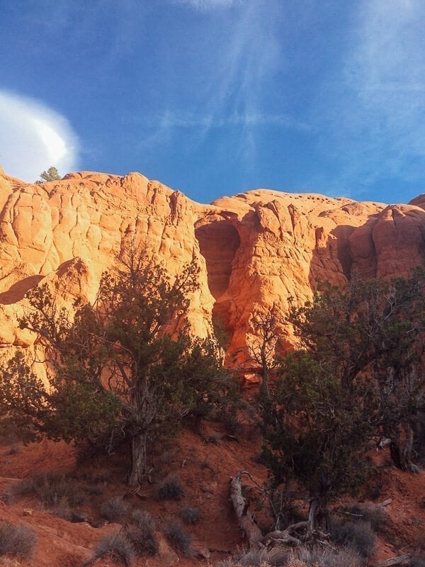
Which looked like…this:
Seriously, how many amazing landscapes can fit in one state?
We stopped at the Visitor Center there (we like visitor centers, if you haven’t noticed. Me for the maps and info, and my sister for the souvenir haul), and got a few hiking recommendations. We decided to do two hikes. The first was the Angel’s Palace Trail:
We talked a big game about how idiot-proof they had made that trail, with little signs pointing you in the right direction. But with the sheer NUMBER of little signs with arrows on them, and a hardly discernible footpath in the expanse of different but very similar rock formations and sand, we promptly lost our way on the way back. The park was practically empty, with just a few RVs parked in a campground below, and no one at the visitor center but rangers, so there was no one else on the trail.
Obviously, we’d jinxed ourselves. But we figured it out in the end and made it back down to the parking lot.
The second was a short trail to the very delicate Shakespeare Arch. Happy to report we didn’t get lost on that one.
Phew. A full day, to say the least.
Of course, after what had turned out to about 8 miles of hiking/walking, not to mention lots of driving, we were tired. And starving.
And I am not ashamed to say that we ate dinner at a buffet that night. Yes, a buffet. Not a particularly fancy or highly rated one either. In fact it pretty shamelessly played up the whole cowboy in the rocky canyon kitsch factor.
But come on. Steak, ribs, grilled chicken, pork chops, baked salmon, mashed potatoes and gravy…why choose, when you can have them ALL?
Next post? Our drive through the rest of Highway 12 and the Grand Staircase, exploring Capitol Reef National Park, and using tree branches as chopsticks to build a campfire. Because we’re excessively Chinese cool like that.
Until next Monday!
