In this post, we’re documenting our recent visit to Glacier National Park. As an obsessive pre-travel researcher, I’m also sharing our guide to help you plan your own trip to the park and enjoy Glacier to the fullest!
With this post, you’ll not only be able to see our experience, you can also craft the perfect itinerary, including points of interest, great day hikes, and places to eat.
Since we took our trip in the fall (September 27-October 2), we also have tips for navigating the park when it is quieter, with fewer services open.
Why Glacier National Park?
Glacier National Park is in Northern Montana, not far from the Canadian border. It’s actually known formally was the Waterton-Glacier International Peace Park World Heritage Site, as it connects with Waterton Lakes National Park in Alberta, Canada.
My parents visited Glacier while on an RV trip back in 2016. They brought back incredible photos of glacier-carved peaks, impossibly blue lakes, and picturesque lodges.
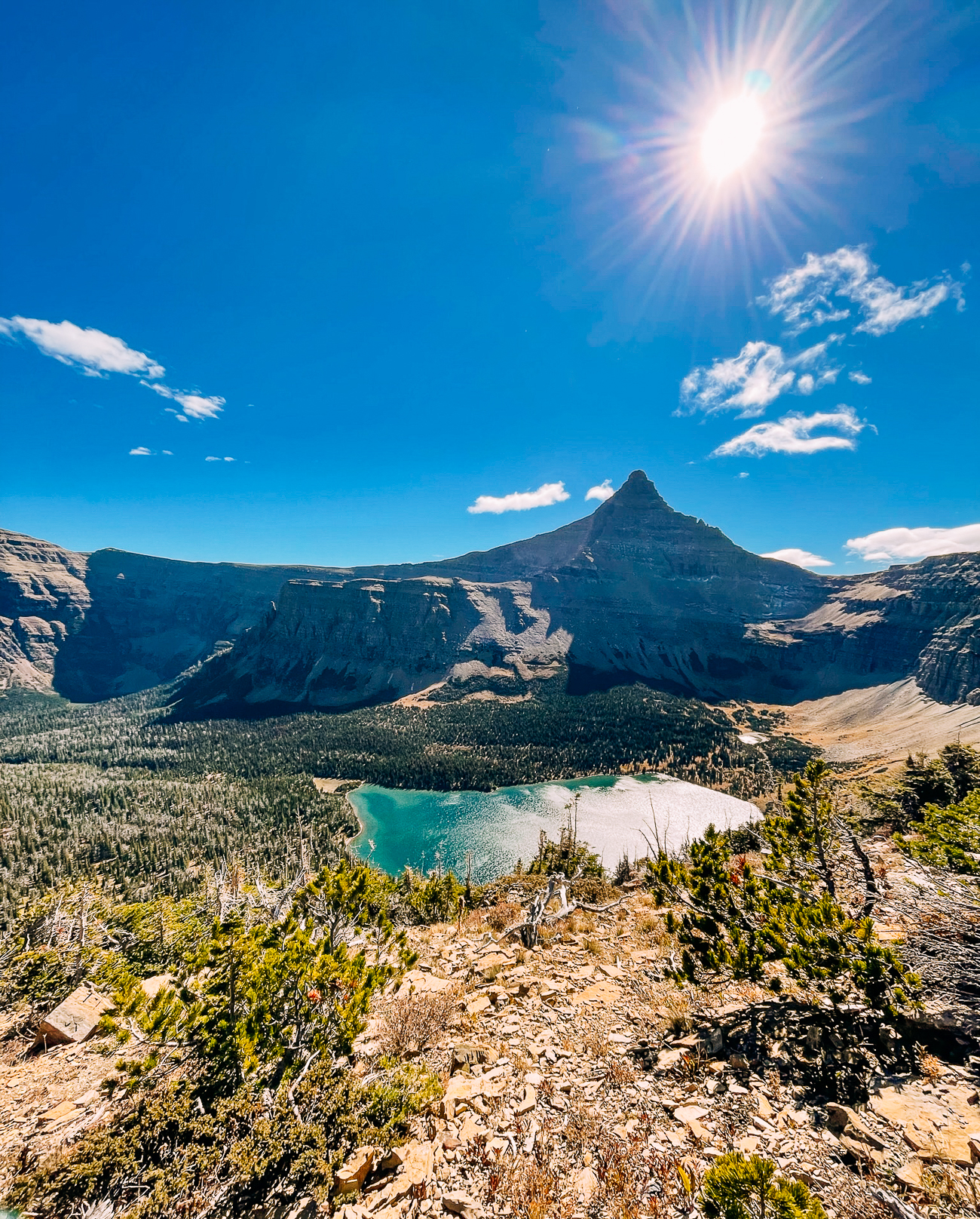
(My mom also bought me a Glacier National Park t-shirt, and I weirdly felt like I should actually visit the place before I could wear it!)
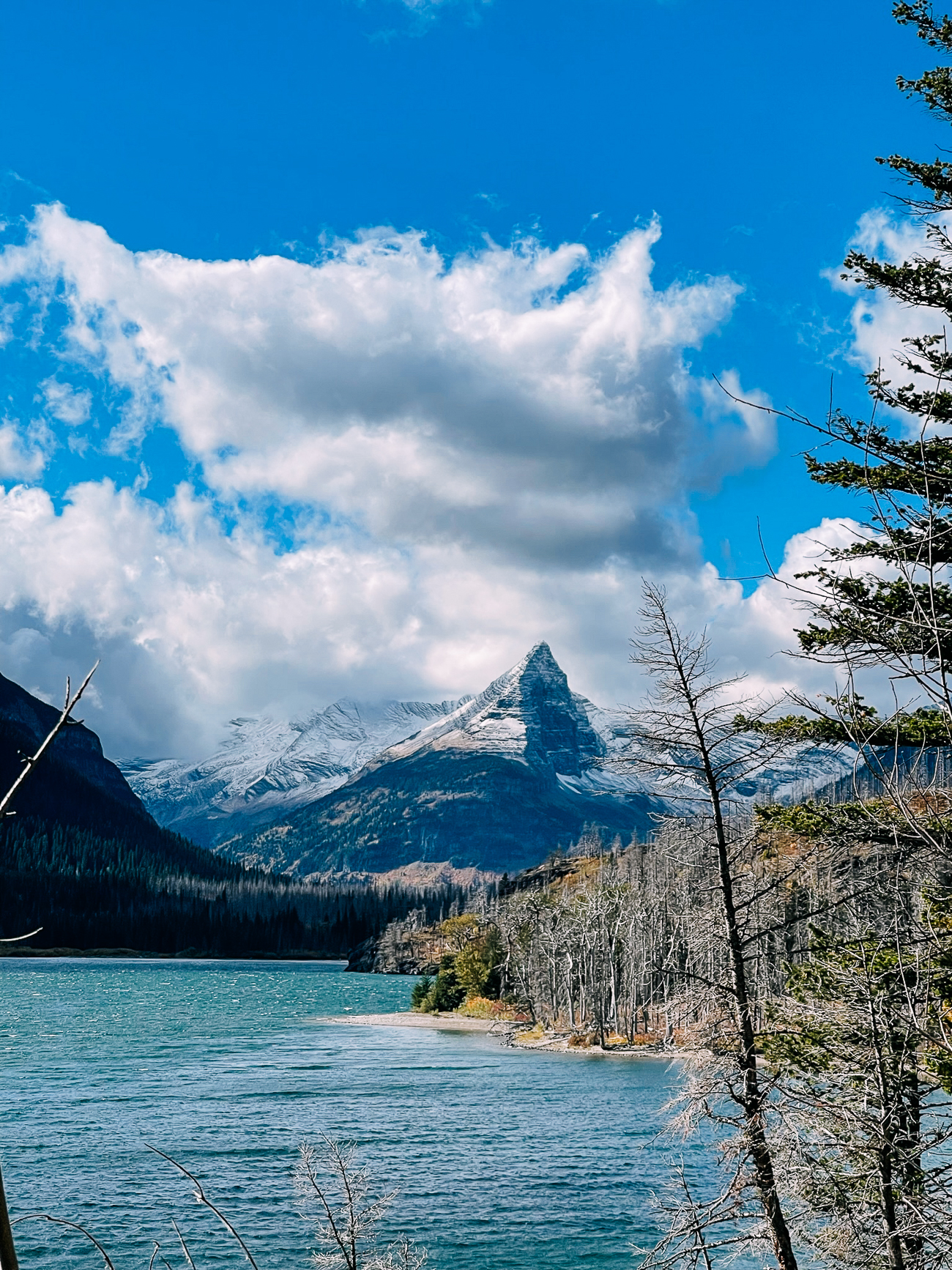
I planned a trip there with Kaitlin and my cousins in 2018, but we were unable to go, due to the Howe Ridge Fire that closed the park.
We ended up saving that 2018 trip by instead driving south from Kalispell, MT to visit Yellowstone National Park and Grand Teton National Park, which we’ve also documented here.
Nevertheless, the experience increased the urgency I felt to go see these places, which are are constantly changing and evolving.
Kaitlin, Justin, and I decided to visit Glacier National Park in late September, when the park was in full-on fall color.
We didn’t camp this time (which is normally how we roll), but we did go on lots of day hikes, including a 16-mile whopper that I’ll tell you all about in the post!
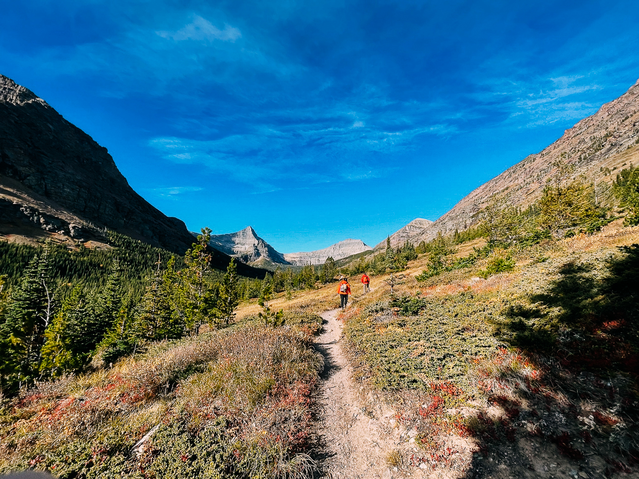
What You’ll Find in This Post
First I’ll take you through how our trip went.
Because we visited Glacier later in the season, the road to the Many Glacier area was closed, considered by many to be the heart of the park!
No worries though, as my parents have explored the Many Glacier area, so I can still be comprehensive when it comes to summarizing tips that will be helpful to planning your own trip.
I’ll include a run-down of:
- Our Trip to Glacier National Park: What We Did In 4 Days (Plus, what we would’ve done in Many Glacier had it been open)
- Glacier’s Different Regions
- Stops Along the Going-to-the-Sun Road
- Glacier’s Top Day Hikes
- Other Activities In and Around the Park
- Where to Stay
- Where to Eat!
Our Trip to Glacier National Park
Let’s start with our trip! Despite not being able to see Many Glacier (the road to that area was closed for construction) and the park’s famous lodges/hotels, it was still an epic vacation.
(Plus, we have an excuse to go back.)
We flew to Glacier Park International Airport in Kalispell, Montana with a short layover in Denver. It’s the closest airport to the park, just 35-40 minutes from the West Entrance.
After getting off the plane, we picked up our rental car, which happened to have this license plate:
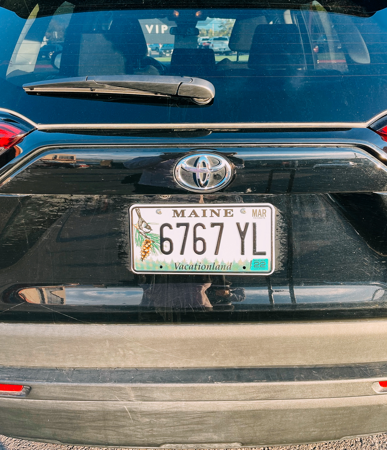
Some of you may know how much we love Maine, also known as “Vacationland.” It signaled that we were finally on our first vacation in a long time, and felt like a sign of good luck at the beginning of our trip.
Having arrived in the early afternoon, we decided to take it easy, going grocery shopping for lunch supplies and snacks, picking up dinner, and checking in to the hotel early.
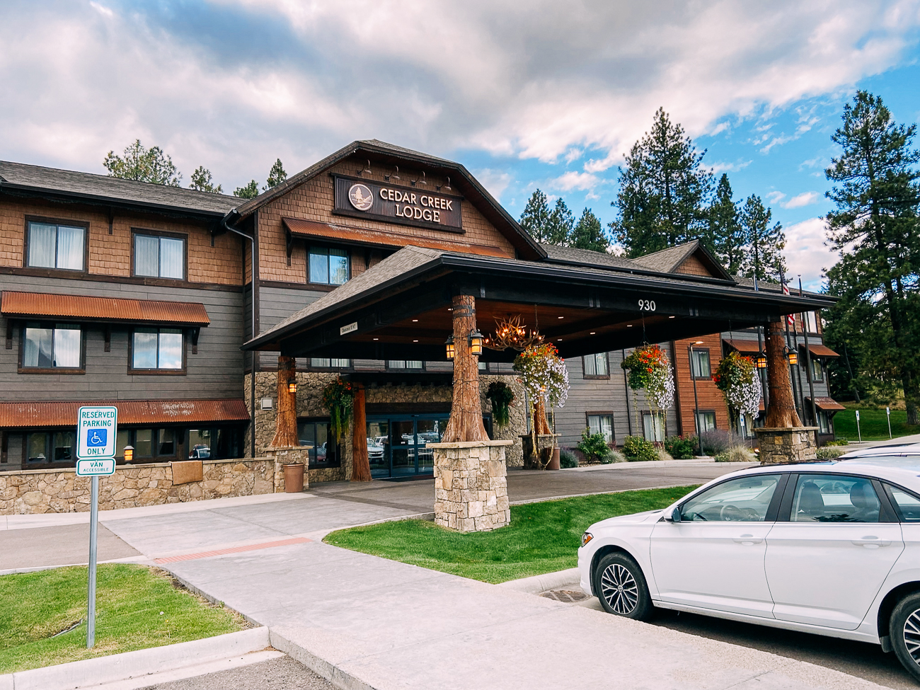
We stayed at Cedar Creek Lodge in Columbia Falls, MT, about 25 minutes from the park’s West Entrance.
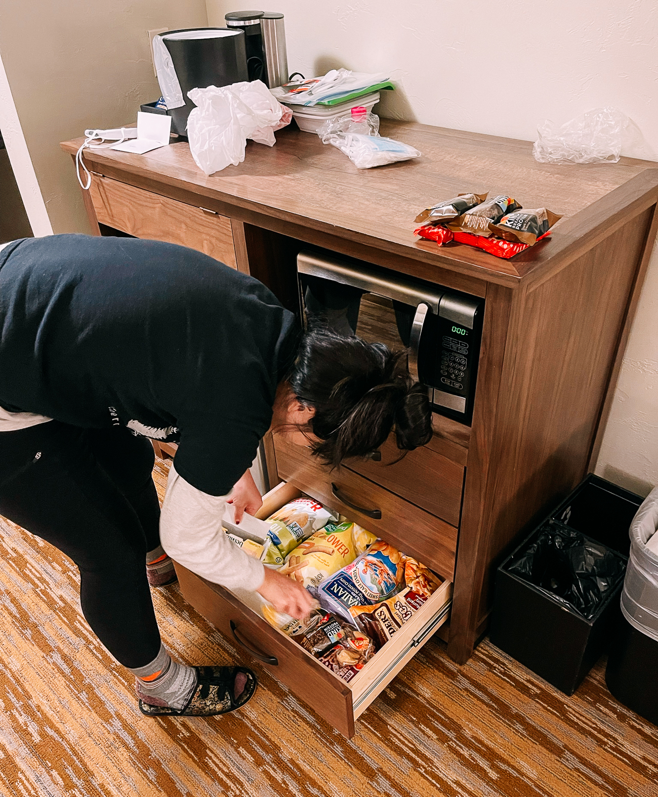
We ate most of our meals in our room, which happened to have a dining table in it with three chairs. It was homey!
Plus, after we inevitably overate at dinner, we could just roll ourselves over to the beds to watch TV. Vacation-y!
(Dinner that night: takeout from Pho Ly in Kalispell. The restaurant owners knew many of their customers by name, and the pho was tasty!)
After a tiring day of travel, we decided to go to bed early and wake up before dawn to get an early start the next morning.
Day 1: Avalanche Lake, Going to the Sun Road
We entered the park through the West Entrance, which is closest to the airport as well as lodging in Columbia Falls, Coram, and West Glacier.
If you’d like to stay closer to Logan Pass and Many Glacier and can’t find lodging within the park, we suggest staying in St. Mary, on the Eastern side of the park.
(For us at this time of year, though, without a kitchen to prepare meals and in need of access to restaurants, etc., staying on the West side worked.)
Regardless of whether you enter from either the West Entrance or the East Entrance though, you’re pretty much on the Going-to-the-Sun Road!
We drove past the 10-mile long Lake McDonald, stopped to admire Lake McDonald Lodge (from the outside, as it was closed for the season), and stopped at pull-offs like the McDonald Falls Overlook and Sacred Dancing Cascade.
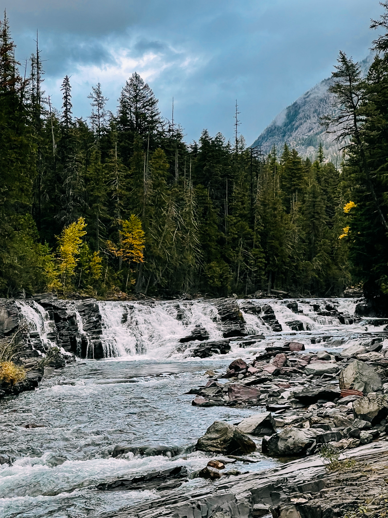
A few miles down the road after that, we got on our first hike of the trip: Avalanche Lake via The Trail of the Cedars Nature Trail.
The Trail of the Cedars is a short 0.9 mile loop with a raised boardwalk. It’s one of two wheelchair accessible hikes in the park. (The other is the 1-mile Running Eagle Falls trail in the Two Medicine area of the park. There is also an accessible nature trail from the Logan Pass Visitors Center.)
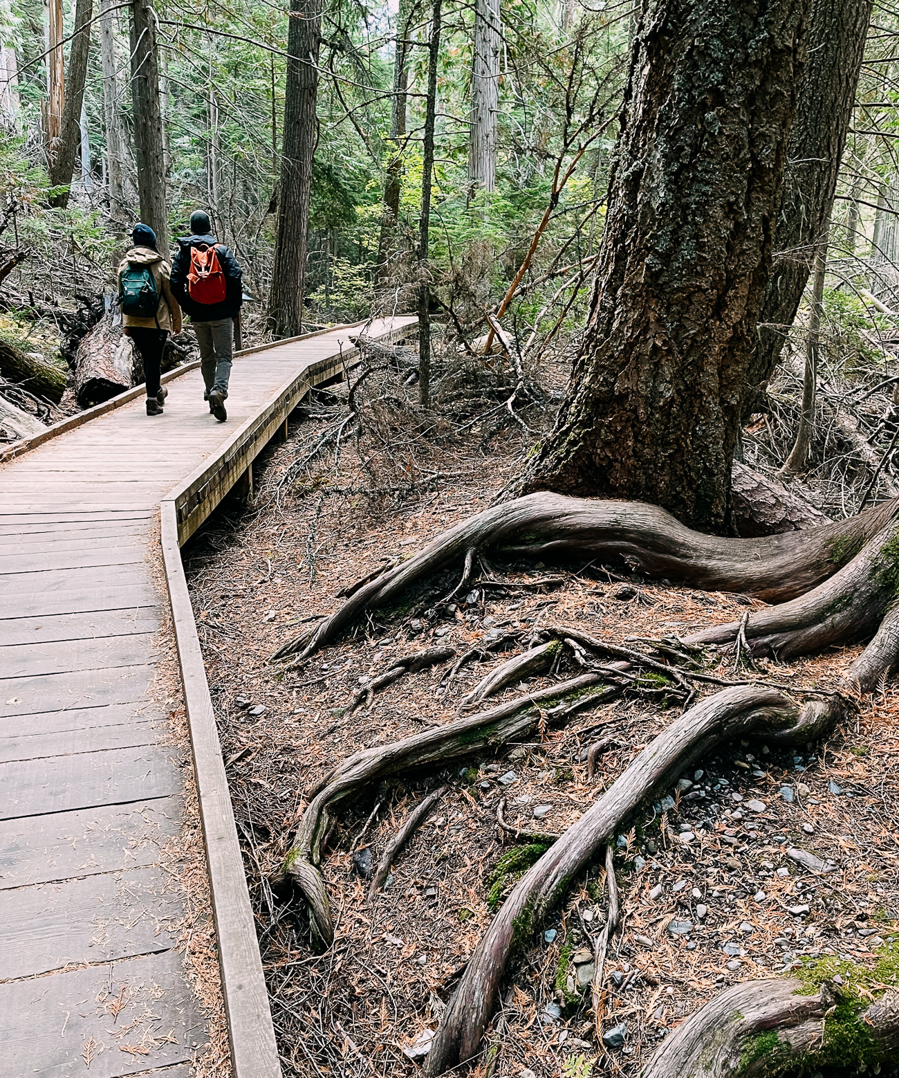
About halfway through the loop, we hit the Avalanche Lake trail junction. Very soon, we got our first glimpse of Avalanche Creek.
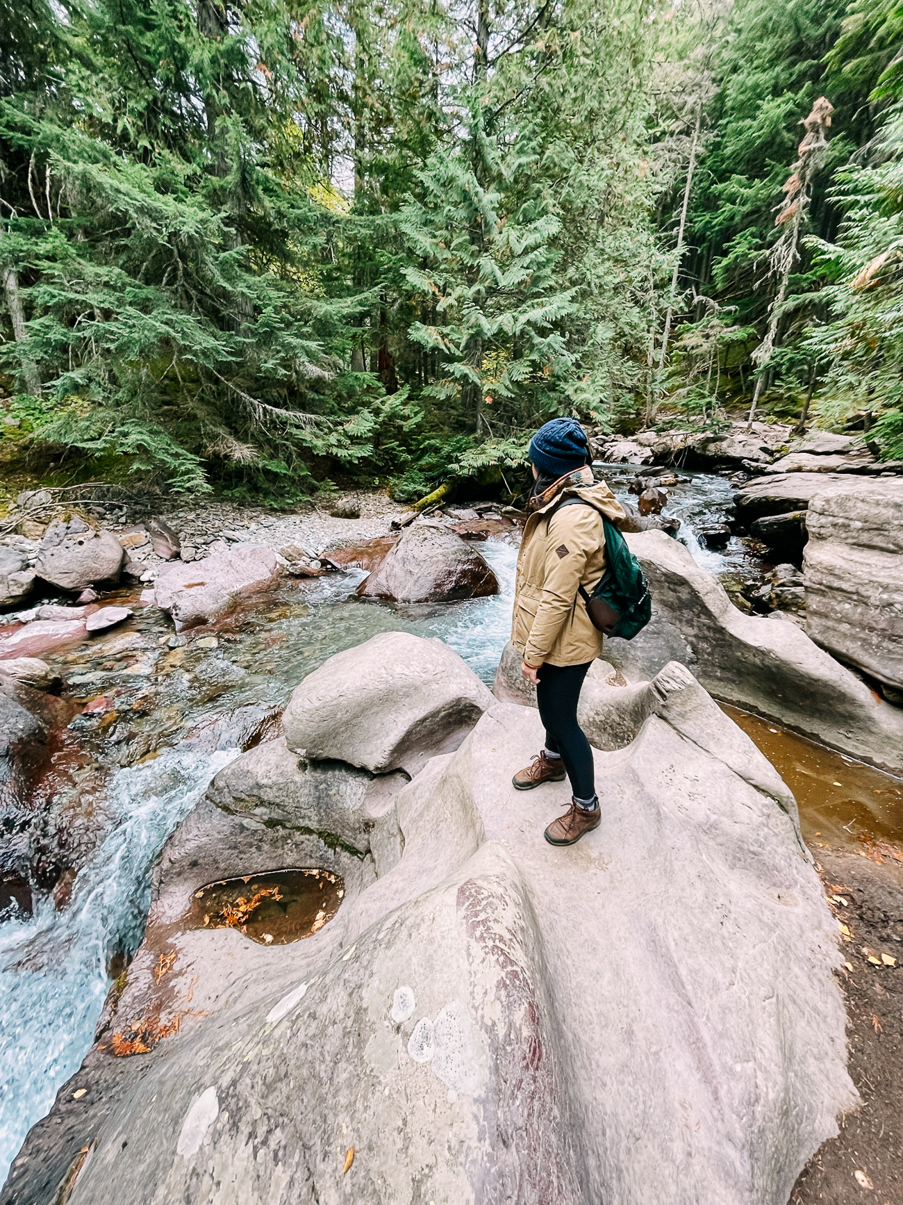
We could see by the smoothness of the rock and the round, wave-like shapes how much the water has carved the landscape! In quieter sections of the creek, we got our first glimpse of that electric blue glacier water.
We continued about 2 miles through beautiful forest…and then had our first bear sighting of the trip!
A group of hikers were peering out at a distant mountainside, where a bear was happily eating some late season huckleberries. Other hikers were kind enough to share their binoculars with us, so we could get a closer look.
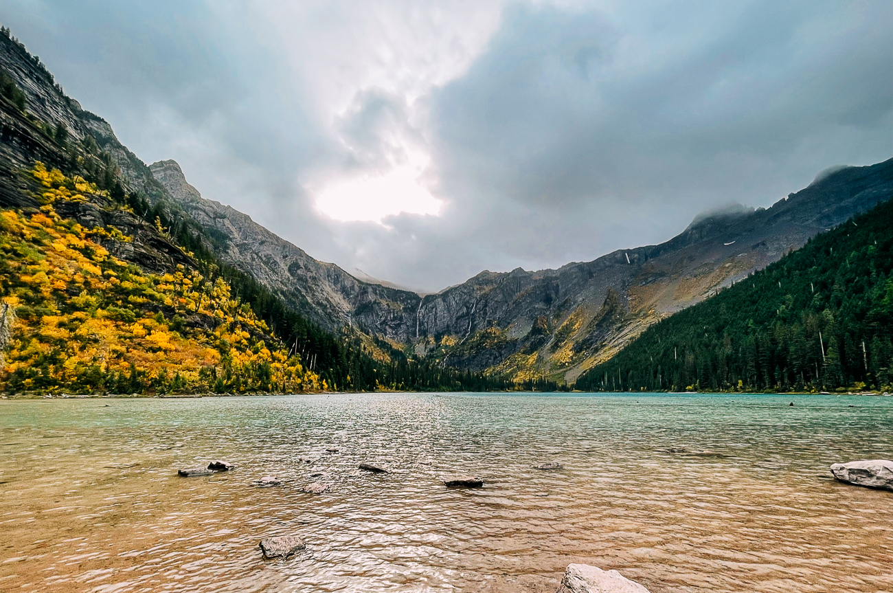
After all that excitement, we quickly reached our destination: the beautiful Avalanche Lake, surrounded by mountains and waterfalls.
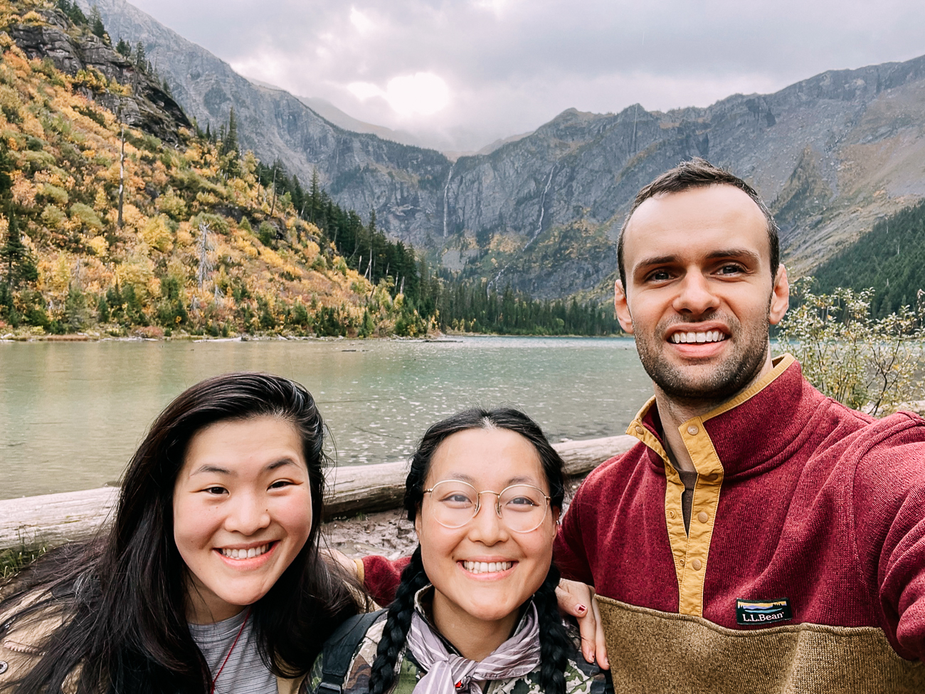
We hung out there for a while, walking along the lake, taking pictures, and bird watching before hiking back out and taking the remainder of the Trail of the Cedars loop back to the parking lot.
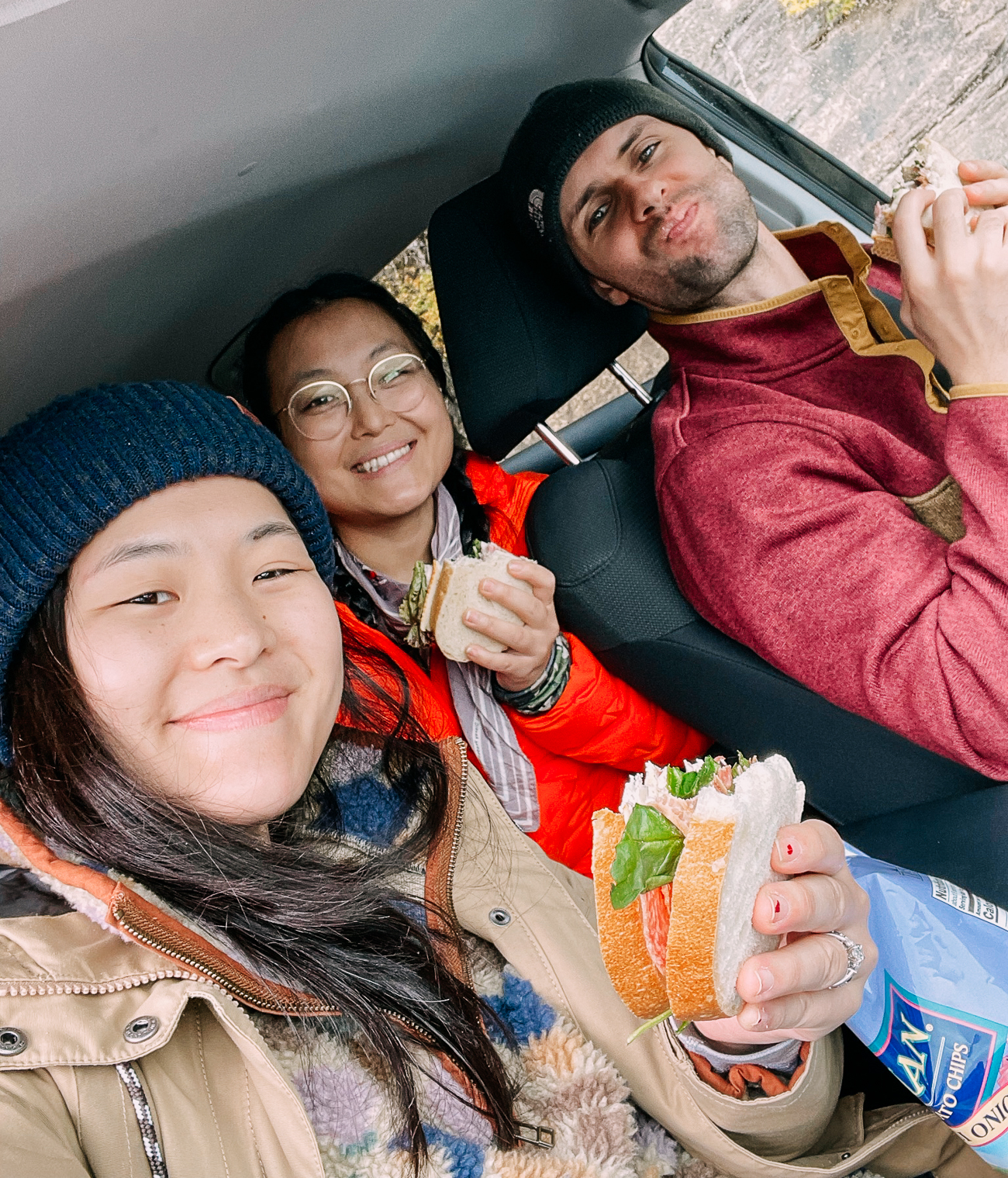
After that, we stopped for a bit of lunch—the finest hotel-room-prepared sandwiches, with Maui onion potato chips.
TRAVELING TO GLACIER IN FALL?
Many services in the Park close in early- to mid-September, including food & beverage services. Make sure to pack lunch if you’re traveling in Glacier at this time of year! Head down to the section on Where to Stay to see the 2021 opening and closing dates for campgrounds and lodging (the dates will likely be similar in subsequent years).
We continued driving along the Going-to-the Sun Road, stopping at sights like Heaven’s Peak and Bird Woman Falls (see the Going-to-the-Sun Road section of the post for a full list of stops).
But then, the weather stopped cooperating.
As we wound our way up higher towards Logan Pass (the highest point on Going-to-the-Sun Road), we were basically driving in a cloud, which created some pretty serious white-out conditions.
We could barely see more than 15 feet of the road in front of us, let alone any of the views!
When we did make it to the top of Logan Pass, conditions were cold, windy, and rainy.
We decided to turn back towards the Apgar Visitor Center and Apgar Village (near the West Entrance) to chill out for the rest of the day, but not before one exciting surprise.
On our way out, we saw a line of cars and a few NPS trucks on the side of the road.
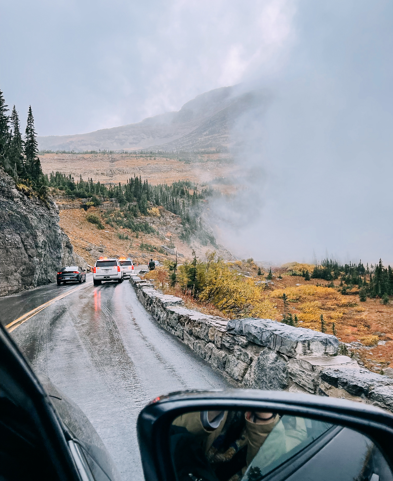
Lo and behold, we had our second bear sighting of the day! This time, from much closer.
A big ol’ grizzly bear was just hanging out on the side of the road:
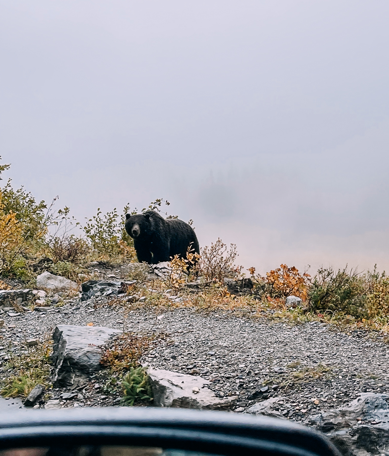
The rangers were there with tranquilizer guns, but they were mostly just keeping cars and tourists away from the bear so he could go on with his day in peace.
This was definitely our closest grizzly bear sighting ever, and we’re glad it was from the safety of our car!
Back down at Apgar, we checked out the Apgar Visitor Center and perused items in the gift shops at Apgar Village. (The Cedar Tree was the biggest, where we bought a pair of binoculars and a can of bear spray for future hikes and potential wildlife sightings.)
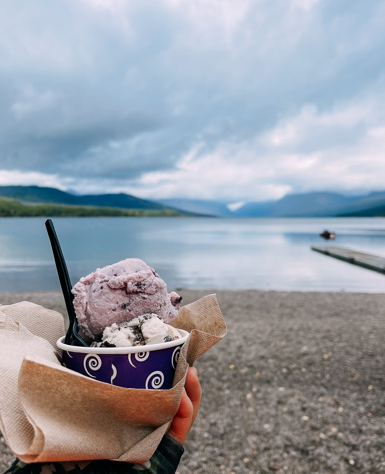
We also got some huckleberry ice cream and enjoyed it on some benches along the shore of Lake McDonald.
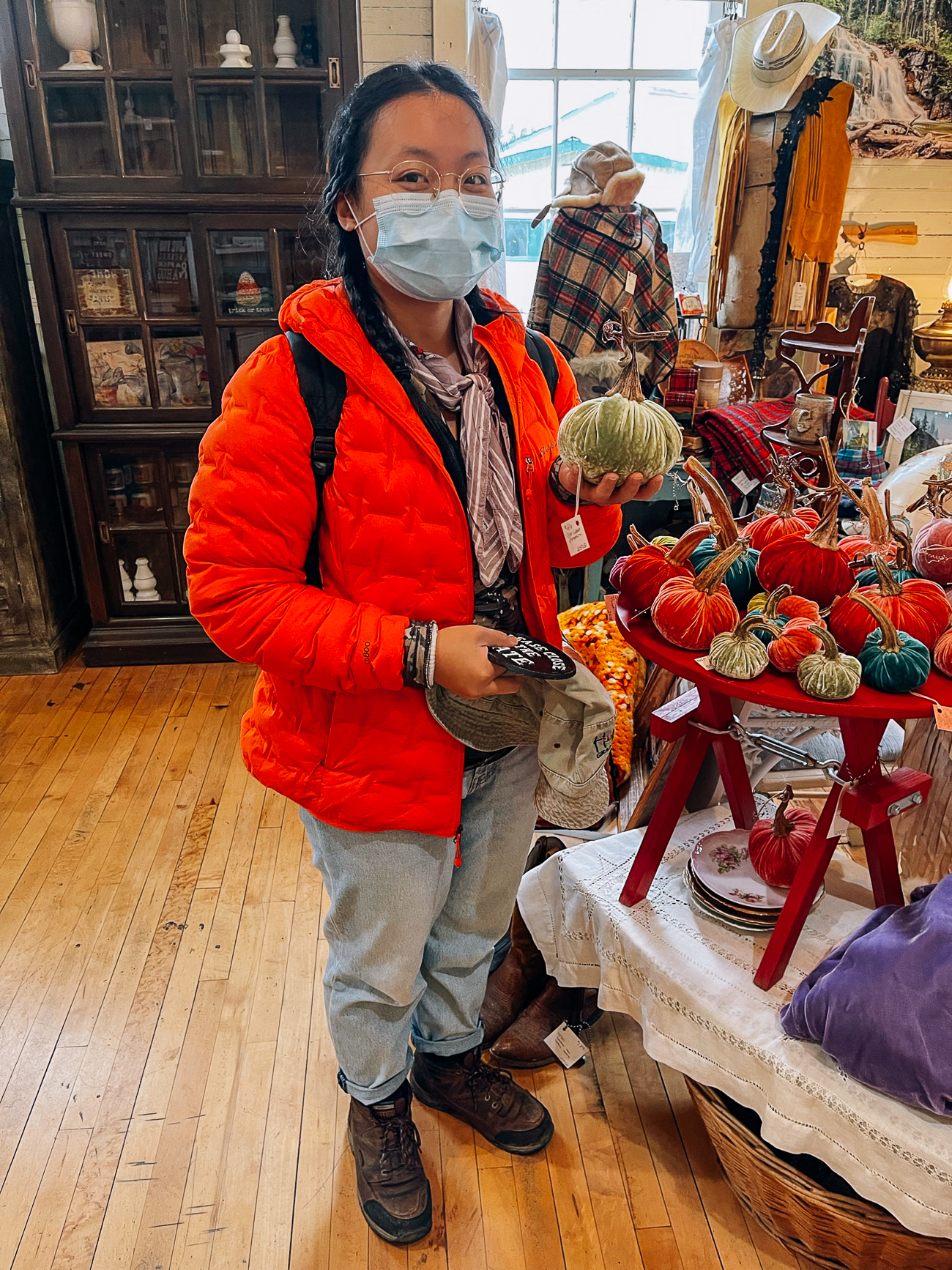
We then headed back to Columbia Falls. Near our hotel, we found a delightful “really cool junk” store called, The Shops at Station 8.
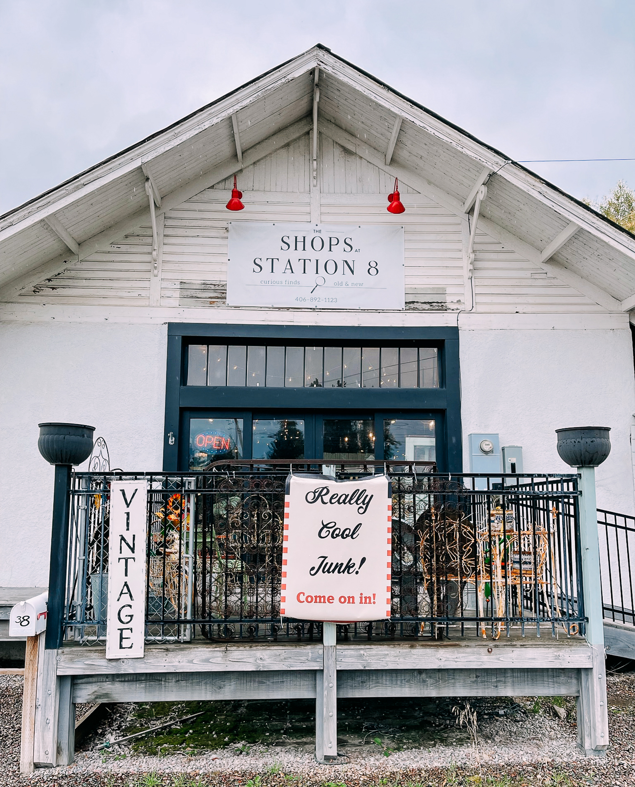
They had an eclectic mix of antiques, decor, and furniture.
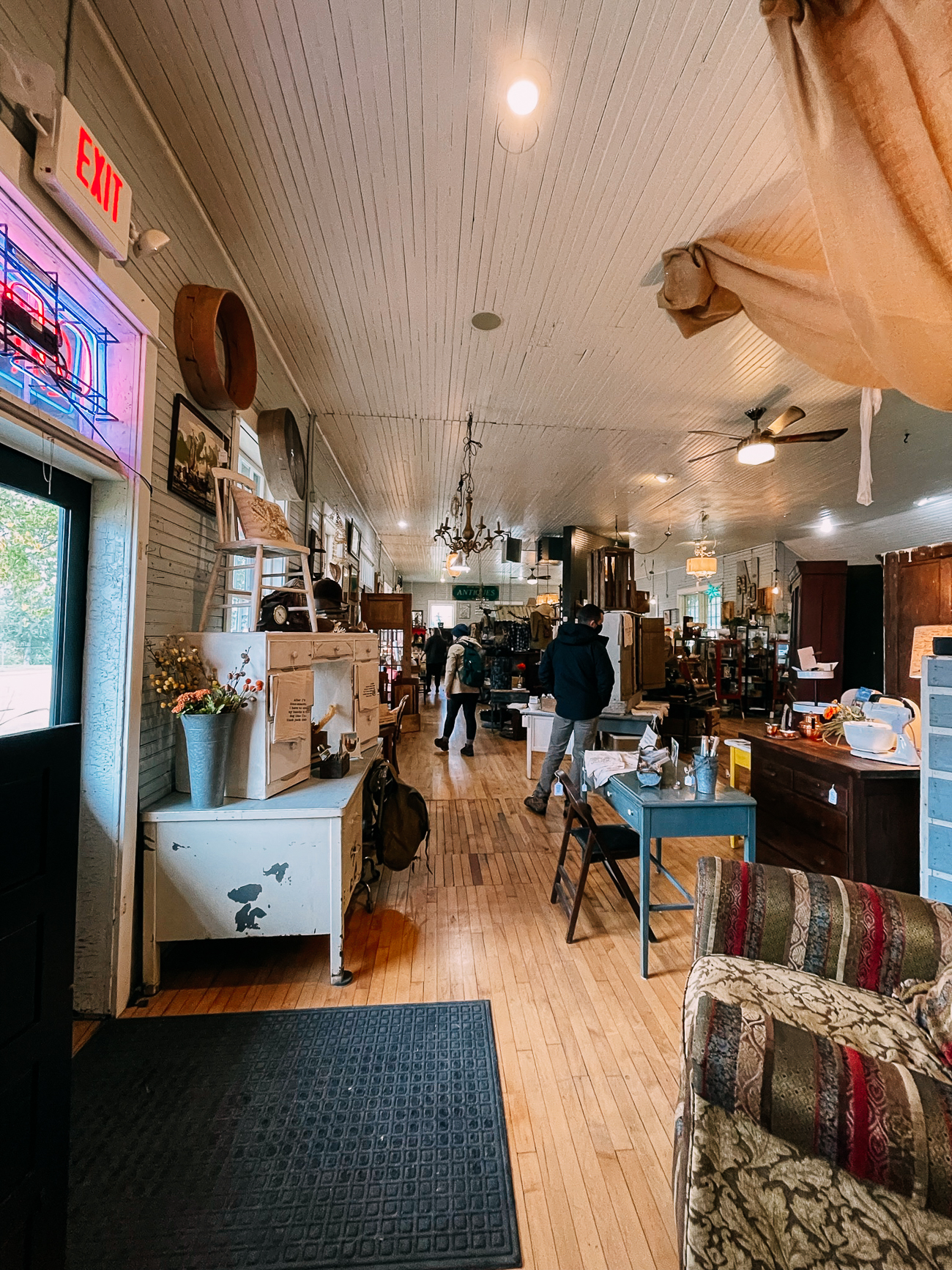
Definitely worth a visit if you’re staying in Columbia Falls!
Day 2: Waterfalls, Hidden Lake & St. Mary
The next day’s weather was just as hit or miss as the previous day’s!
We found ourselves battling intermittent rain, sleet, and also enjoying a glorious sunny day—all in a few hours.
We drove right past Logan Pass, which was still mired in clouds, and instead opted for another popular trail, a 3.6 mile round-trip hike to St. Mary Falls and Virginia Falls.
The sky was still gray, but a little patch of blue in the distance gave us hope!
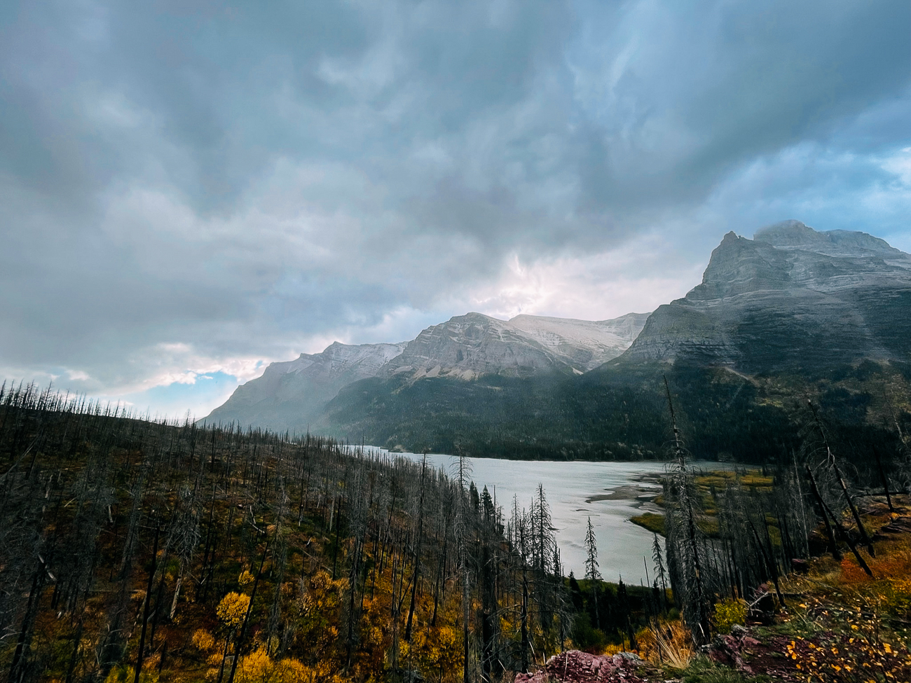
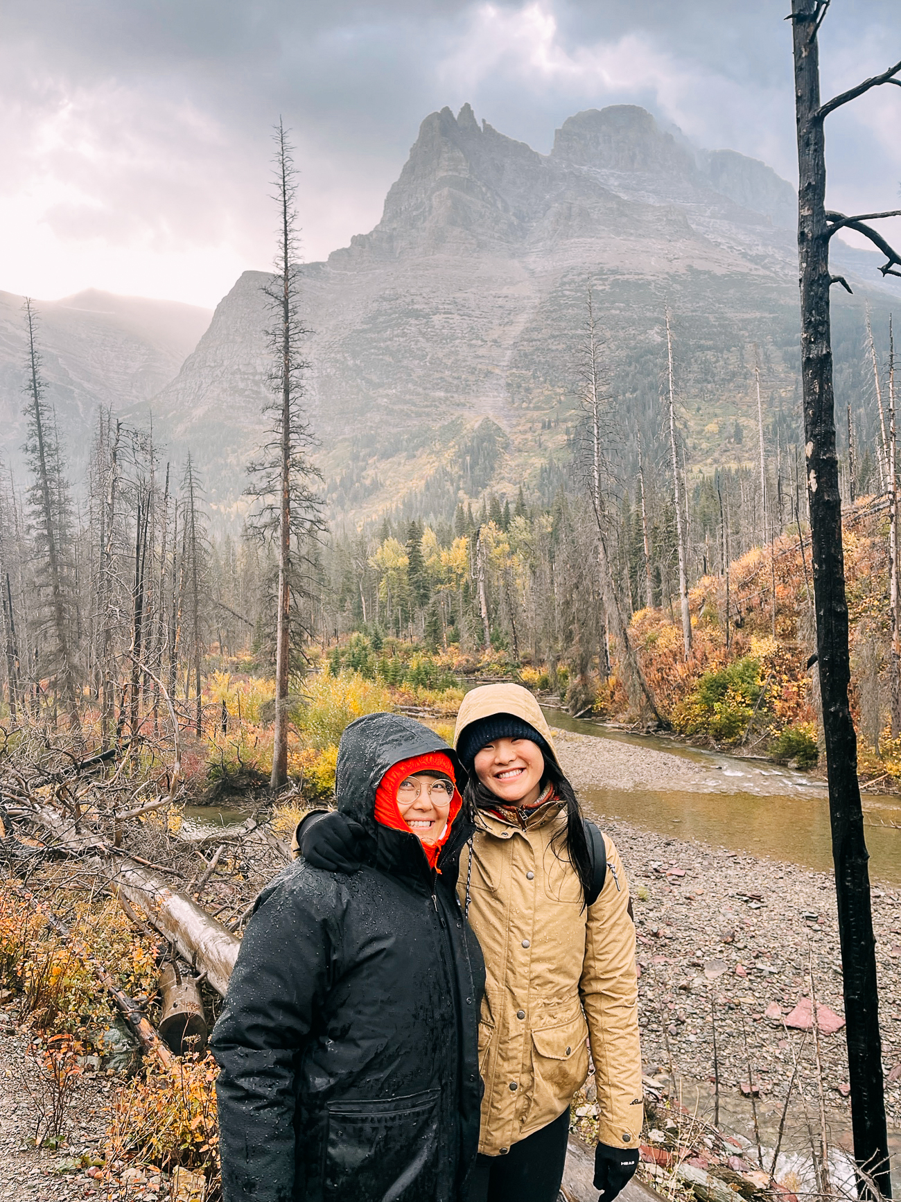
We hiked through a wintry mix of light rain and sleet, but the sun did manage to poke out of the clouds a few times:
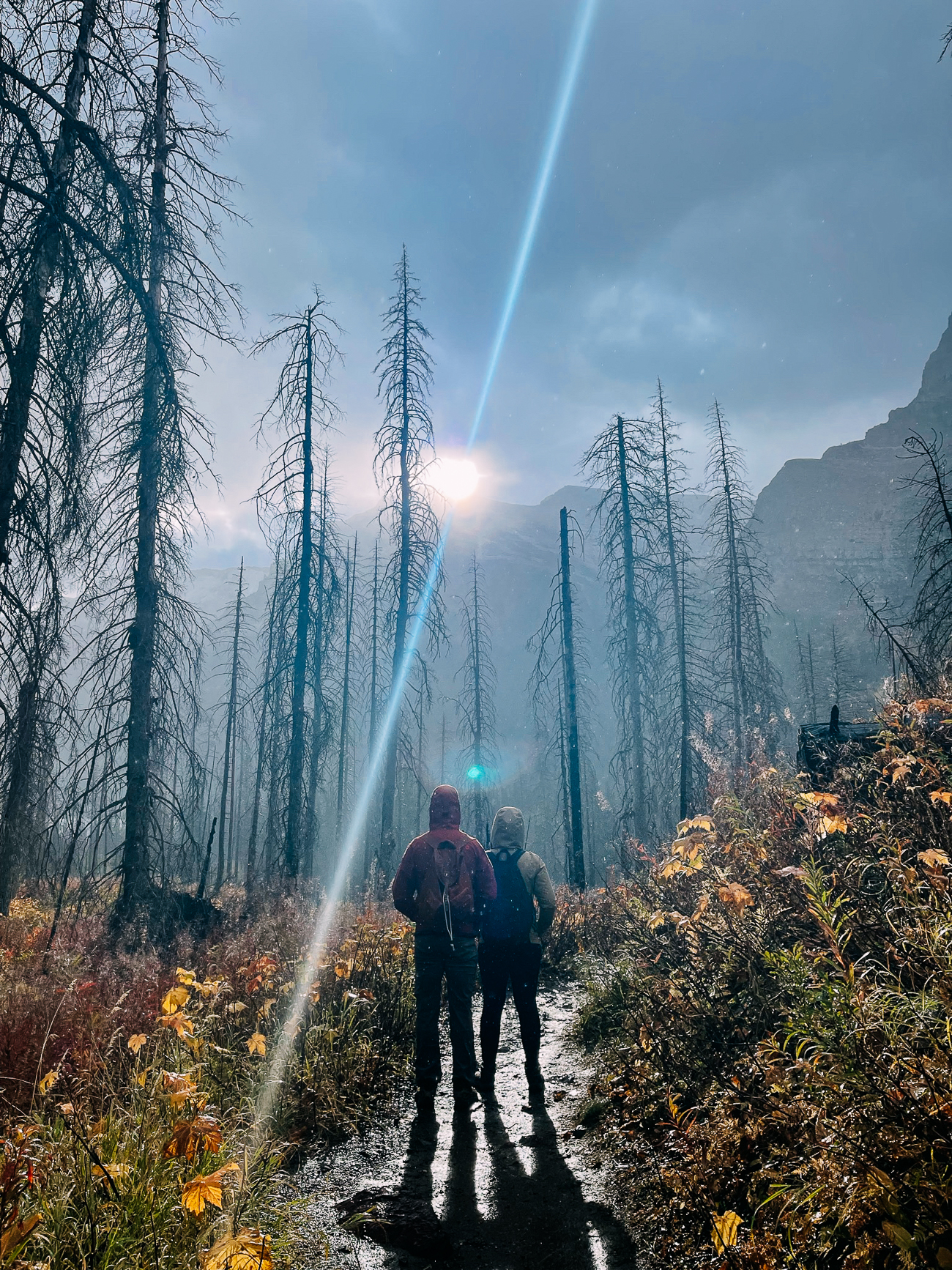
We powered through!
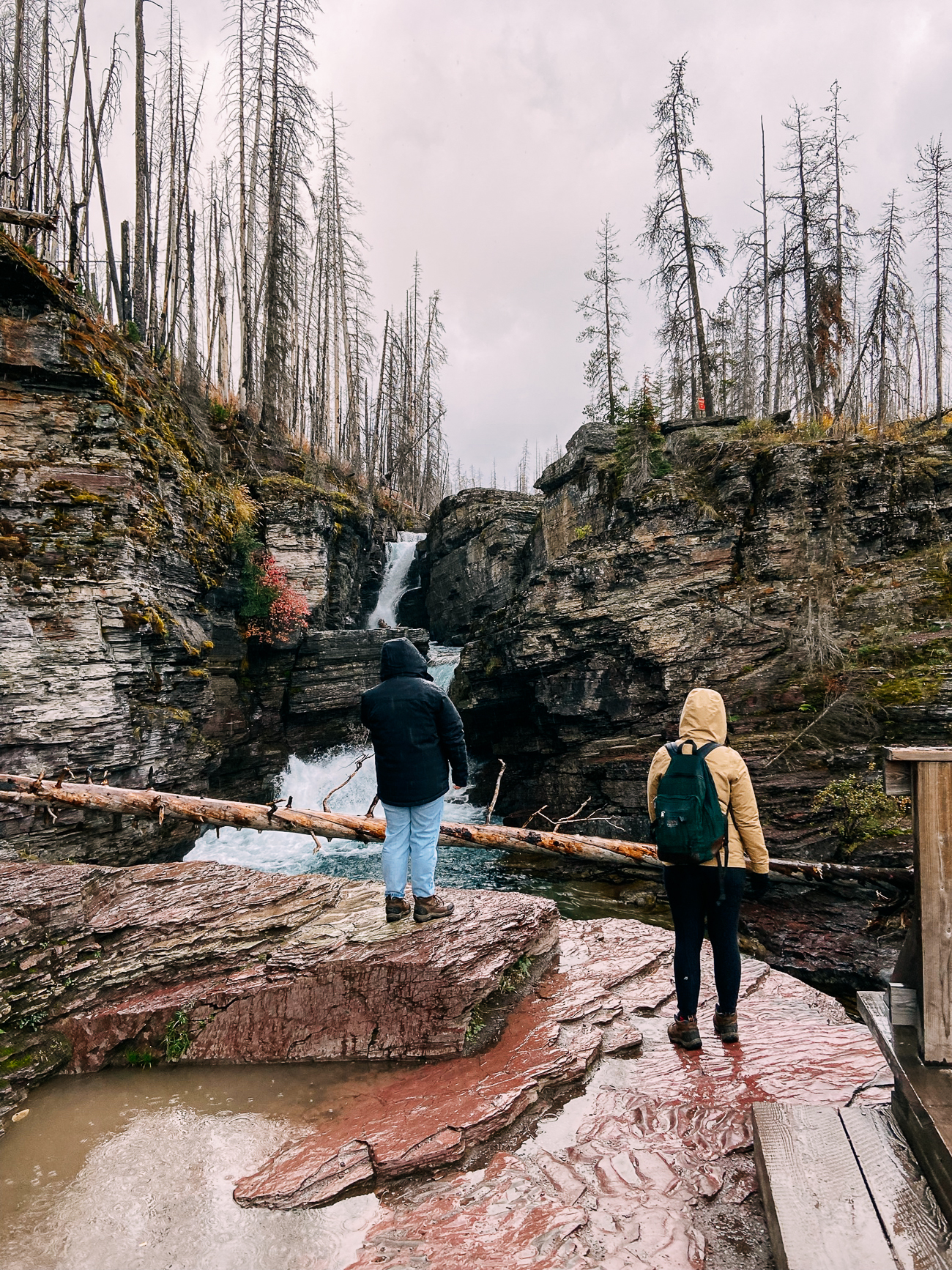
By the time we reached Virginia Falls about 0.8 miles further, the weather was clearing up!
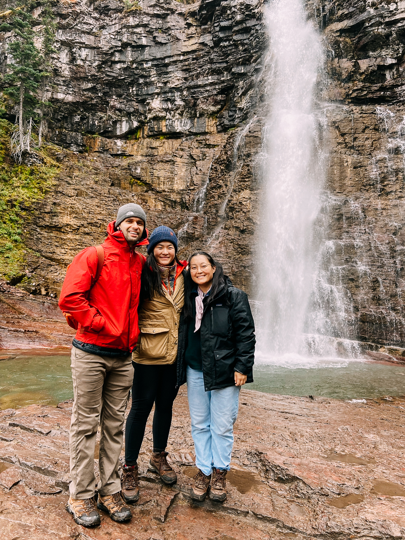
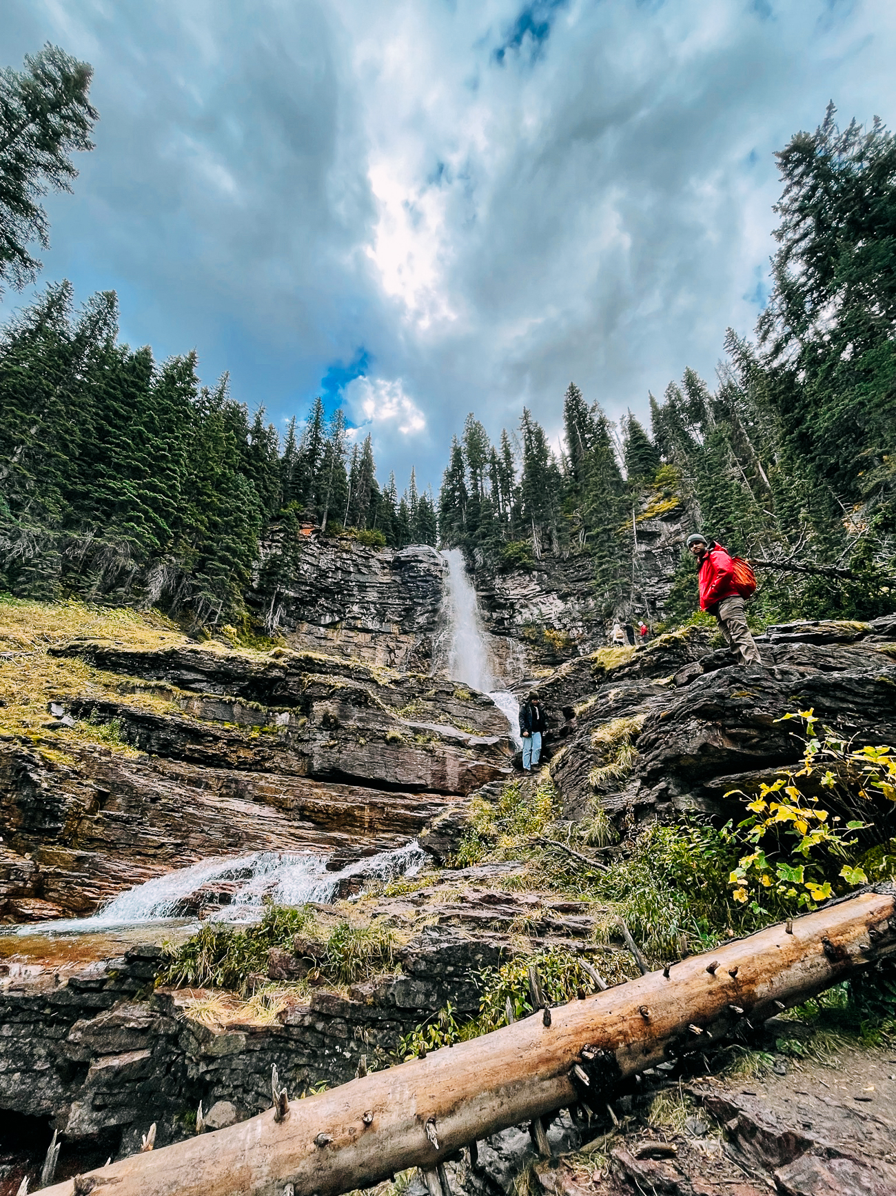
And on the way back…we had blue skies!
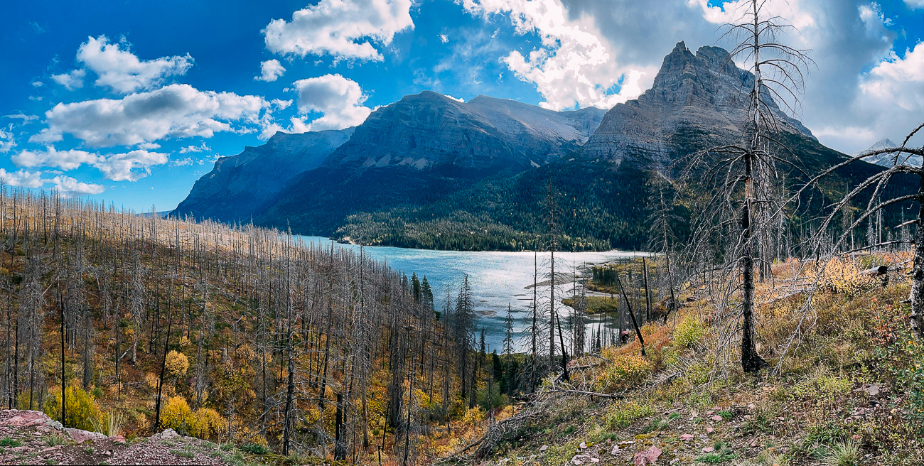
We then did a short hike to Baring Falls, which can be accessed by the same trail, or by driving a short way down the road to Sun Point.
(From Sun Point, Baring Falls is a 0.8 mile round-trip hike. If you include decide to see Baring, St. Mary, and Virginia Falls all in one hike, it’s 6.4 miles round-trip.)
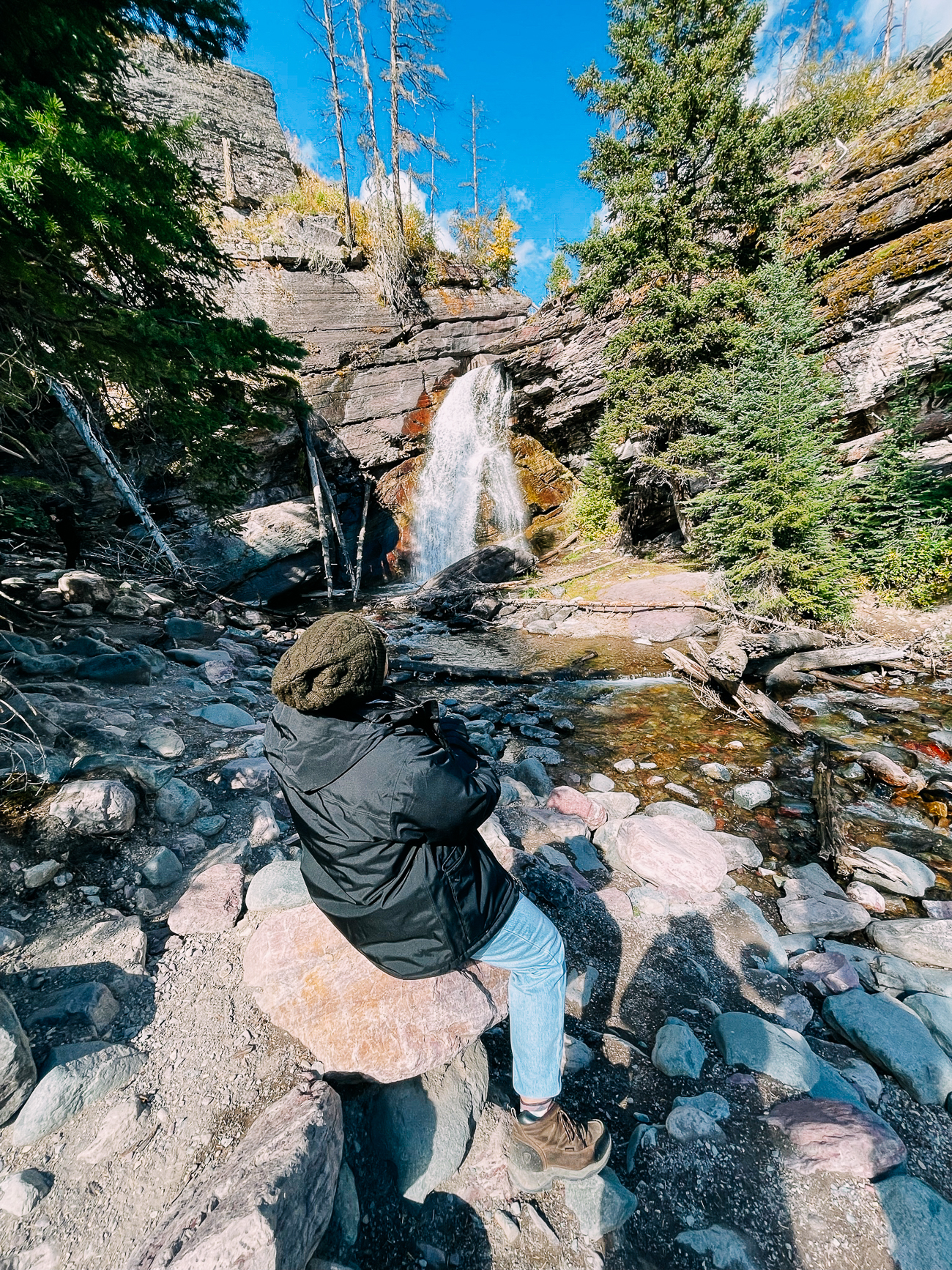
After these hikes, we headed to St. Mary Visitor Center, at the eastern end of the Going-to-the-Sun Road. Here, the sun was shining!
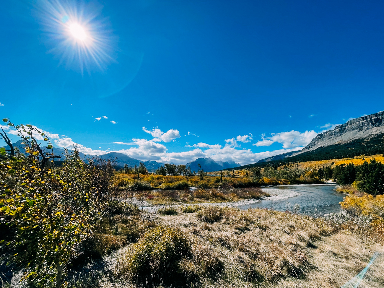
On the way back, it was still cloudy over Logan Pass.
We decided to take a chance on Hidden Lake Overlook, a popular trail that begins behind the Logan Pass Visitor Center.
In the summer, this 2.7 mile round-trip hike takes you through an alpine meadow known as the Hanging Gardens.
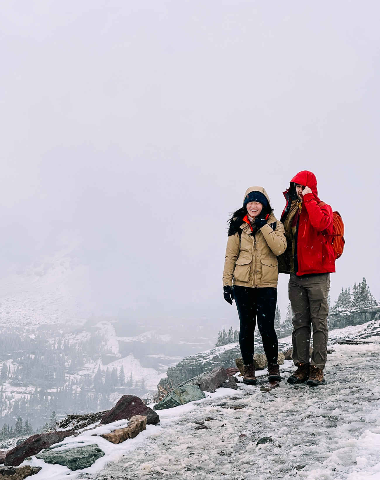
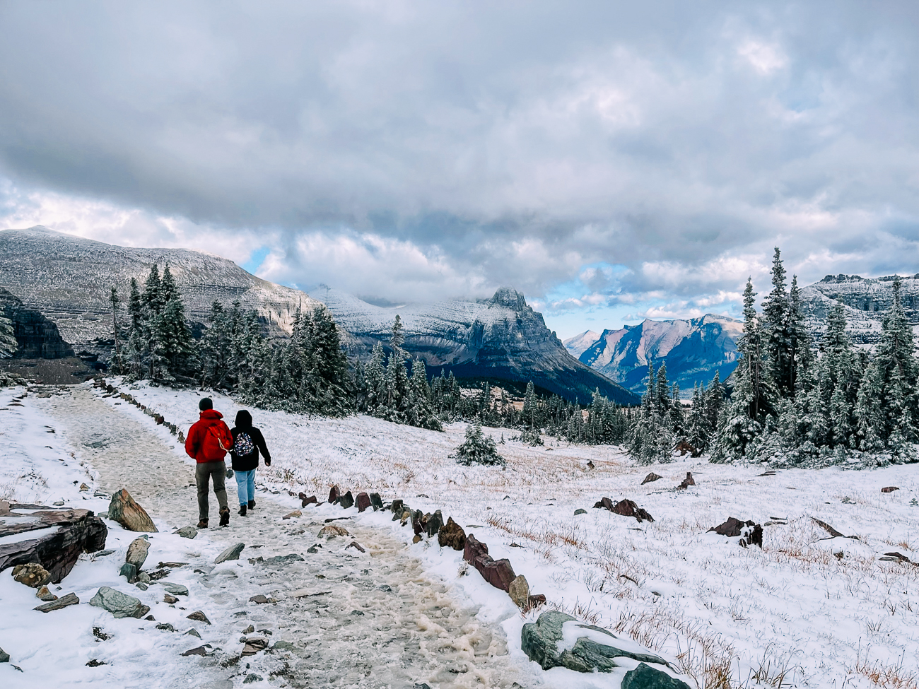
But it had snowed the night before, so our hike looked more like an ice rink!
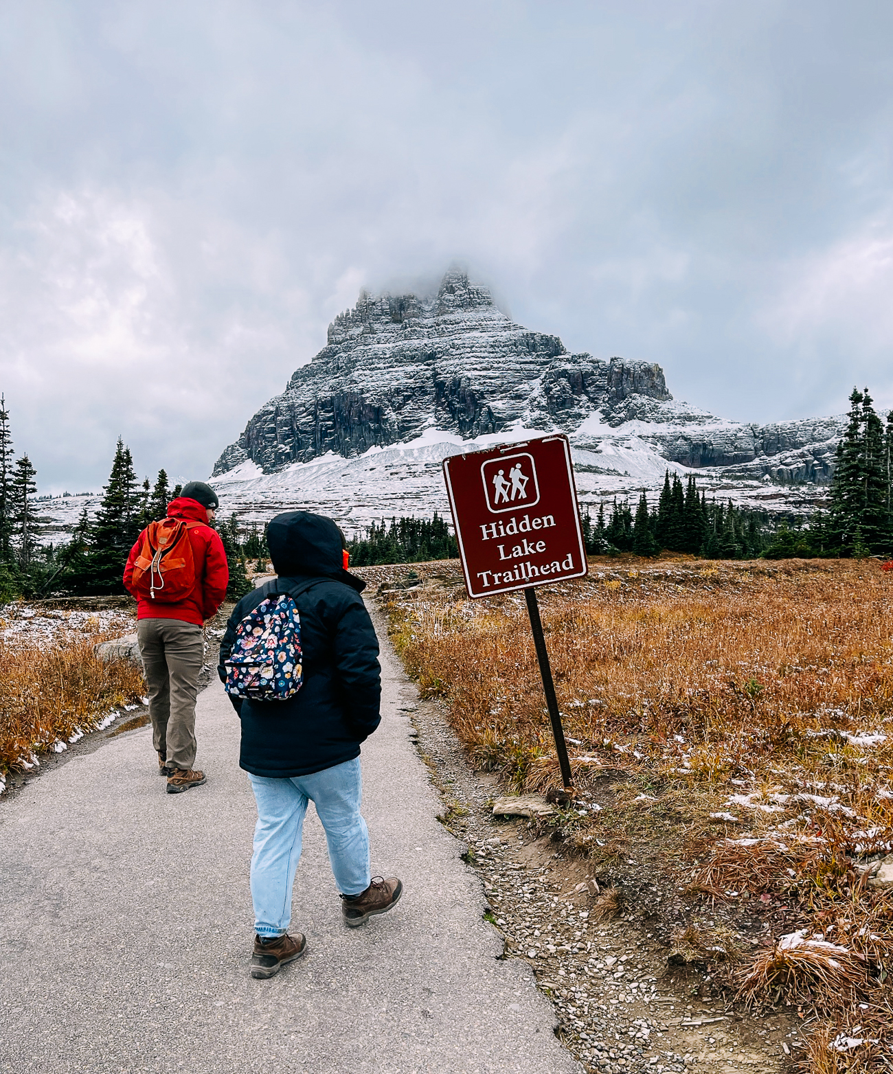
It started to snow a bit more when we were up there, and the winds were pretty high!
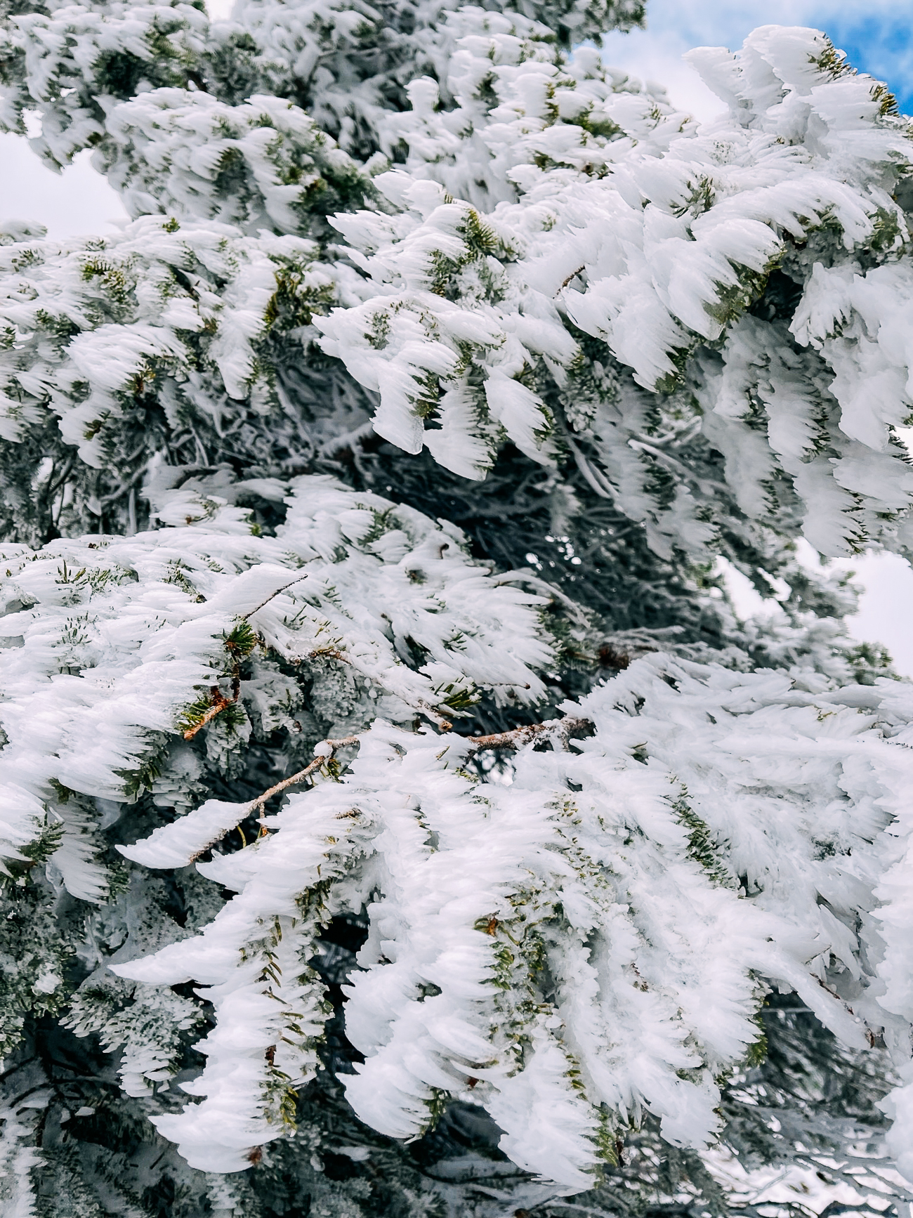
The ice on the trees demonstrate just how windy it gets up there:
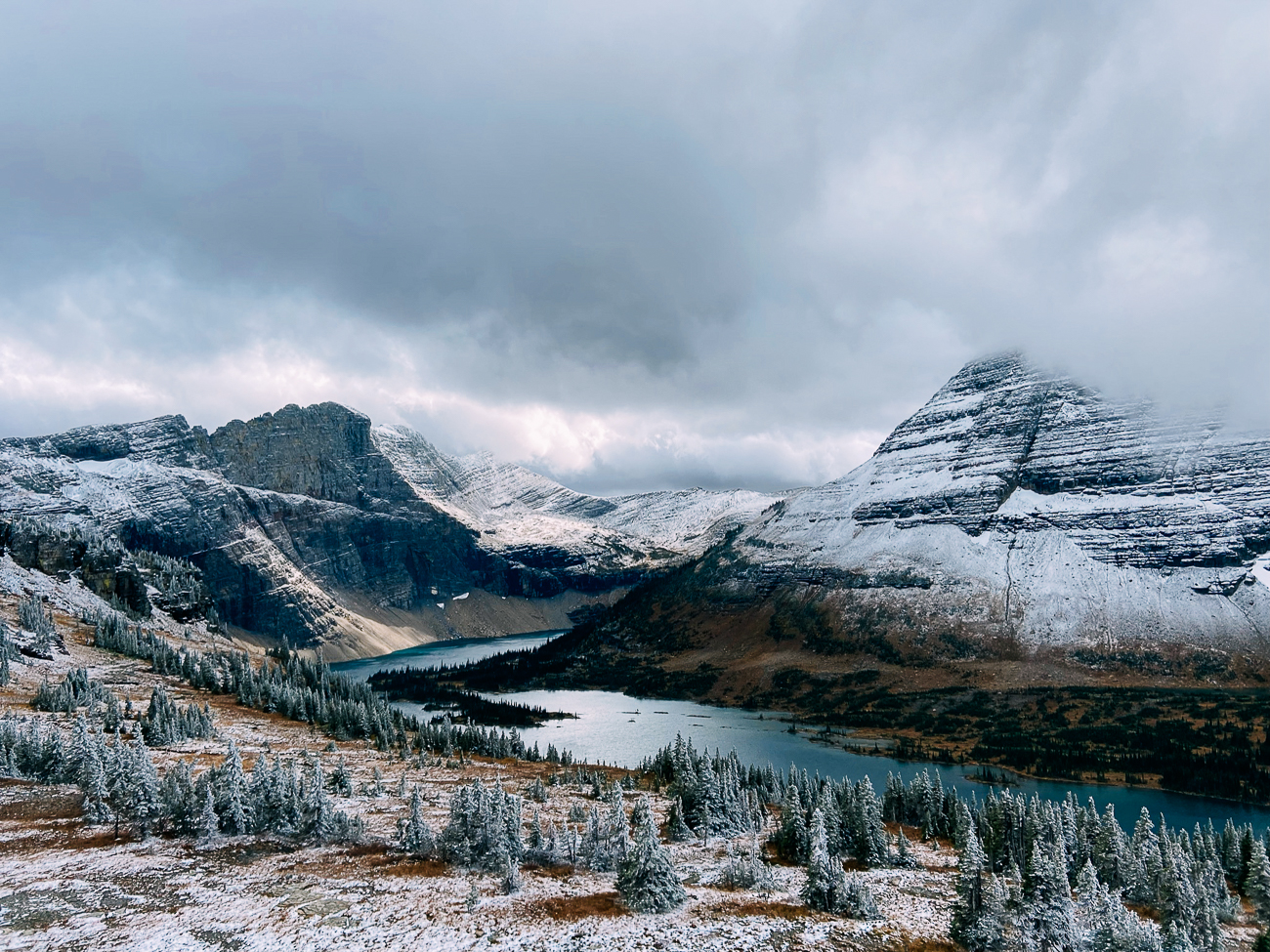
But the view was worth the struggle!
(There is a longer trail down to the lake itself, but it was closed to hikers that day due to bear activity.)
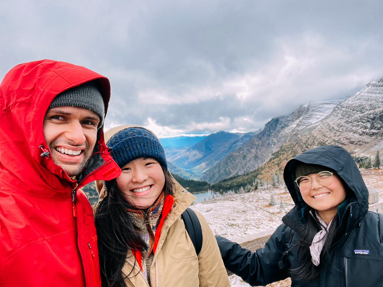
As you can see, the weather up at Logan Pass can be very different from the rest of the park. (Just look at that sunny patch of mountains in the distance!) So be prepared! Bring lots of layers, and more warm layers than you think you need, especially in the fall.
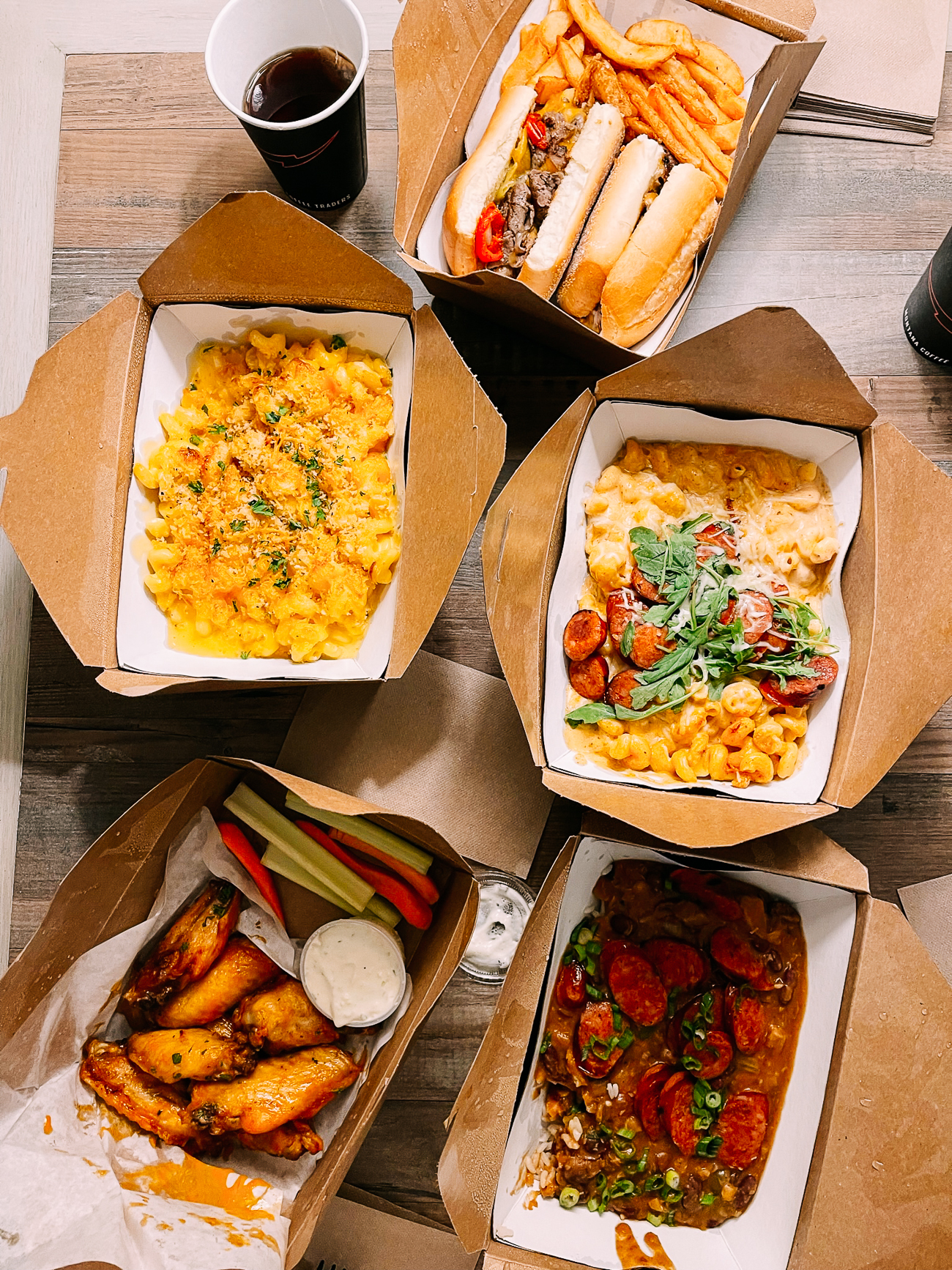
After all the cold and wind of the day, we had a hearty (if not super healthy) dinner from Gunsight Saloon, a recommendation from the proprietor at the Shops at Station 8!
We had a steak sandwich, mac and cheese, cajun pasta, red beans and rice with andouille, and hot wings.
Maybe it was a bit much for the three of us at first blush, but I’m not ashamed to say we ate most of it after our shivery day.
Day 3: The BIG Hike – Pitamakan Pass
After two days of sketchy weather, our third day dawned clear and sunny!
We’d been conscientiously watching the forecast, and we planned our biggest hike for the best weather day.
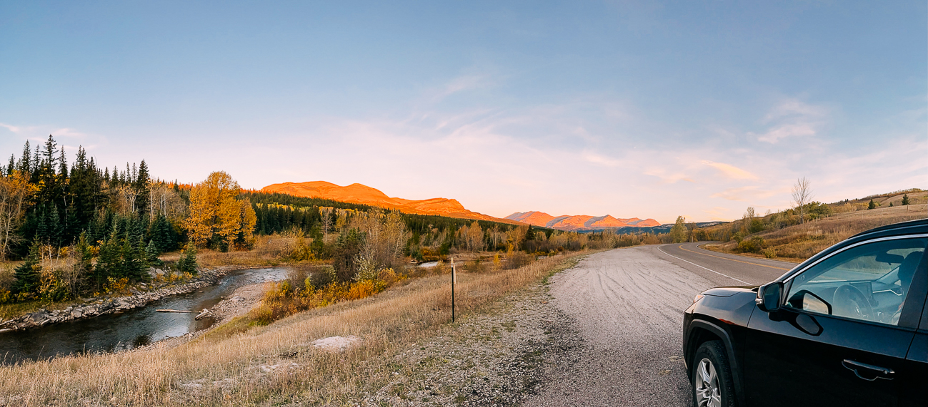
The sun was rising just as we arrived at Two Medicine, in the Southeastern section of the park.
A couple days earlier, I’d asked a ranger at the Apgar Visitor Center what her favorite trails were.
“Is difficulty an issue?” she asked.
“No,” I said…perhaps a little too confidently?
She immediately highlighted a big loop hike on the lower right of my park map, and said, “This is probably my favorite hike in the entire park.”
“How long is it?” I asked.
“18 miles.”
My eyes widened a little.
“Yeah, it’s a big day,” she said, rather nonchalantly.
After that conversation, I had some time to look into the hike a bit more.
Not only did multiple reviewers on AllTrails.com all agree with this ranger, so did Jake Bramante at Hike734, a blogger who’s literally hiked every trail in Glacier National Park.
Justin, Kaitlin and I discussed it in the hotel room later that night. Were we up for it?
The hike would take us from Two Medicine Campground up to Pitamakan Pass, across a sketchy exposed ridge a few miles long known for extremely high winds, and then back down Dawson Pass on the other side.
Pi’tamaka: Woman Warrior
Okay, so maybe the coolest fact we learned on this trip is that Pitamakan Pass was named for a woman and war chief of the Blackfeet Tribe who called the mountains and valleys of Glacier National Park home.
She led war parties and hunting expeditions, and was given a man’s name, “Pi’tamaka,” or “Running Eagle.”
(How AWESOME is that? Also, we need a movie about her, if anyone in Hollywood is reading this.)
Read more about Running Eagle in this NPS article.
While there was about 3,800 feet of total elevation gain, the grade was gradual, and most hikers reported it taking about 10 hours to complete.
The views were supposed to be insane, with 360° panoramas, multiple lakes and peaks, alpine meadows, and ample wildlife viewing opportunities.
We decided to go for it.
The trail began at a parking area at Two Medicine Campground. This post by HikingInGlacier was super helpful in guiding us to the trailhead.
It was around 8:30 AM. After crossing a footbridge, we found the trail junction, where you could turn right for Pitamakan Pass or left for Dawson Pass.
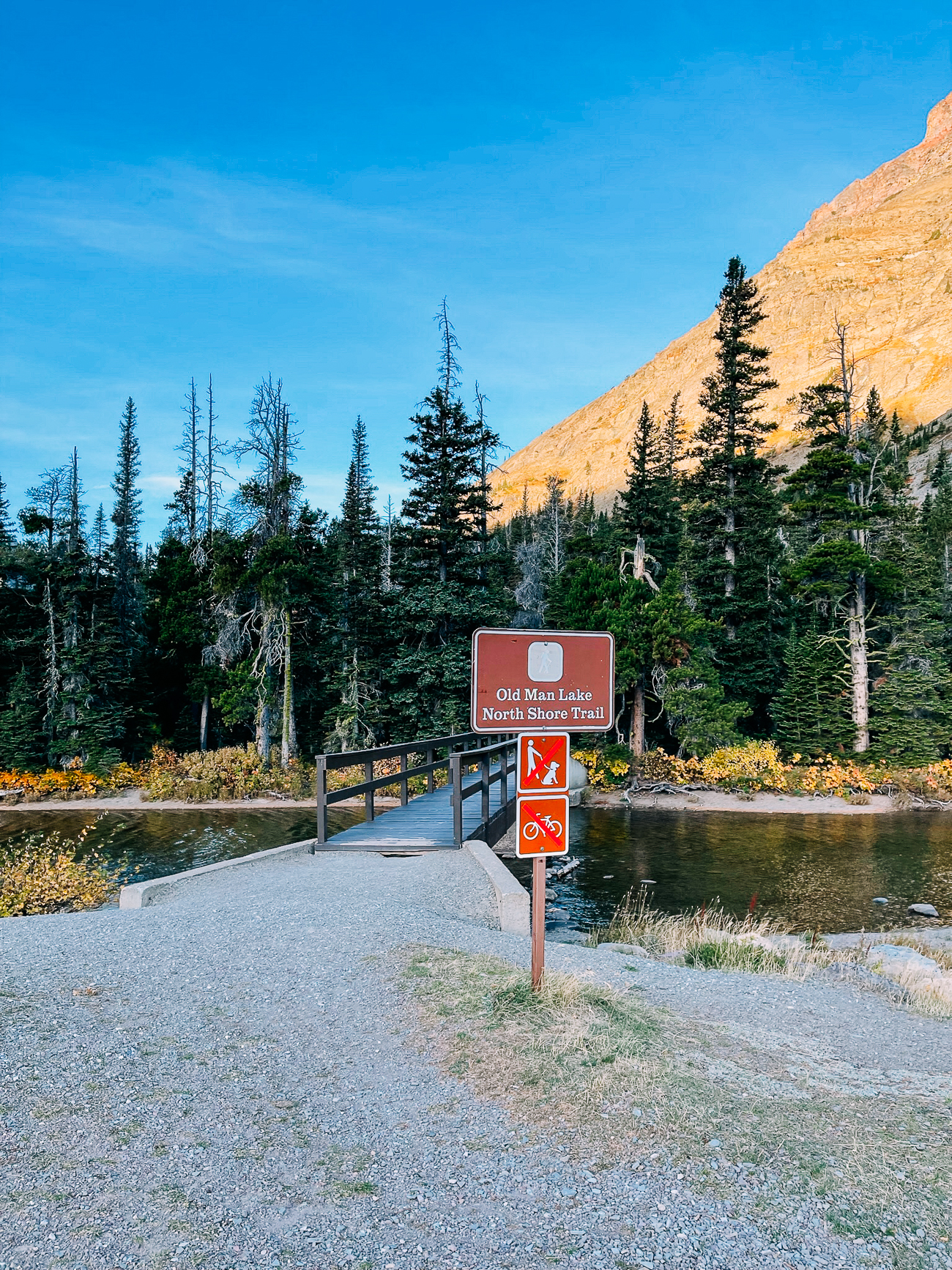
We decided to go for Pitamakan Pass first, taking the loop in a counterclockwise direction, as Hike734 recommends.
The first several miles were pretty flat and open, as we made our way around Rising Wolf Mountain.
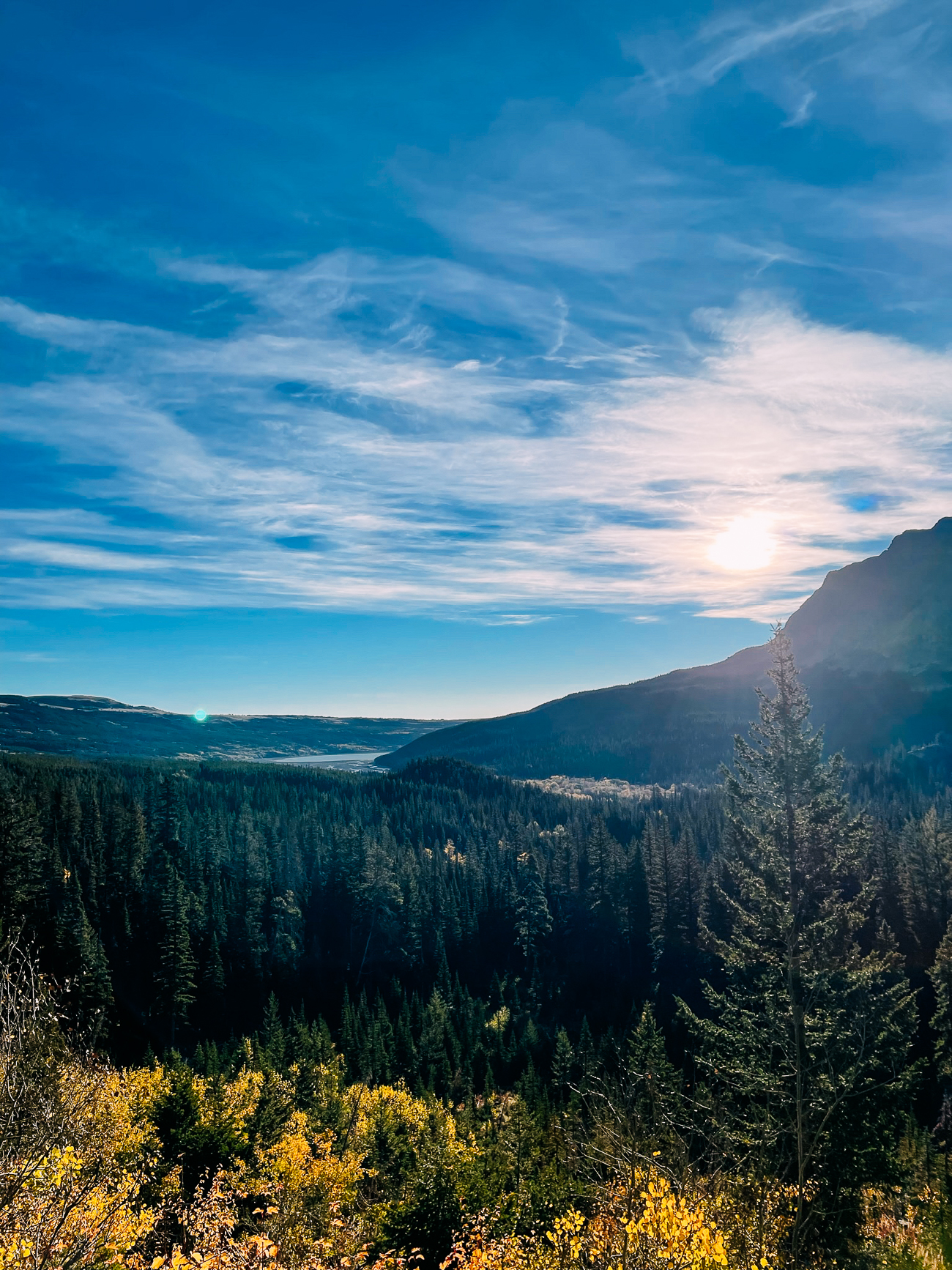
On the other side of the mountain, we walked through meadows and forests…
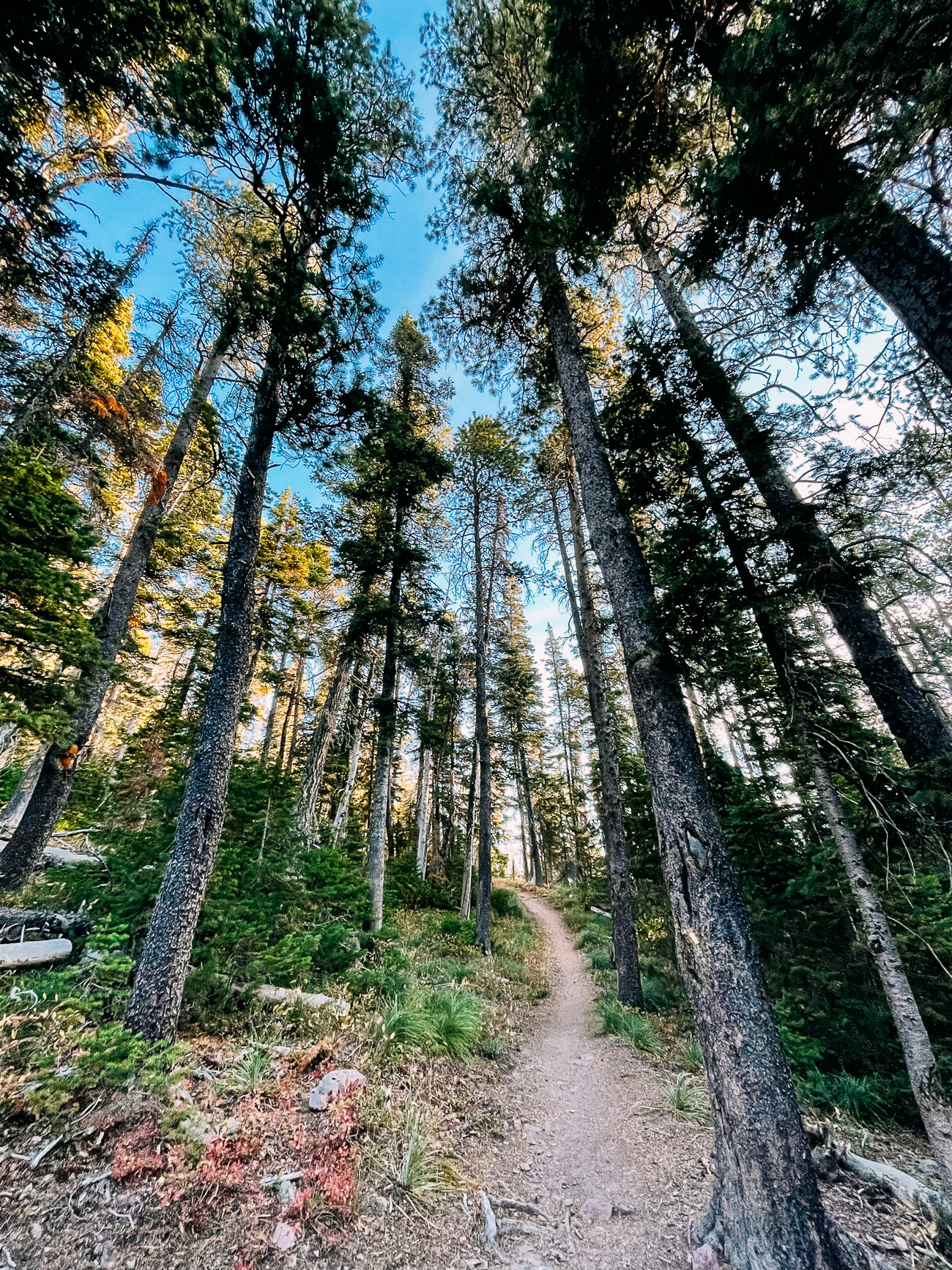
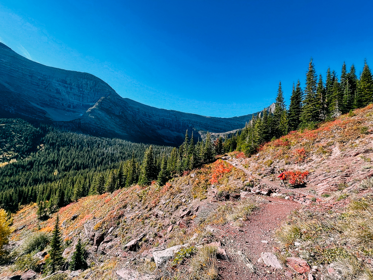
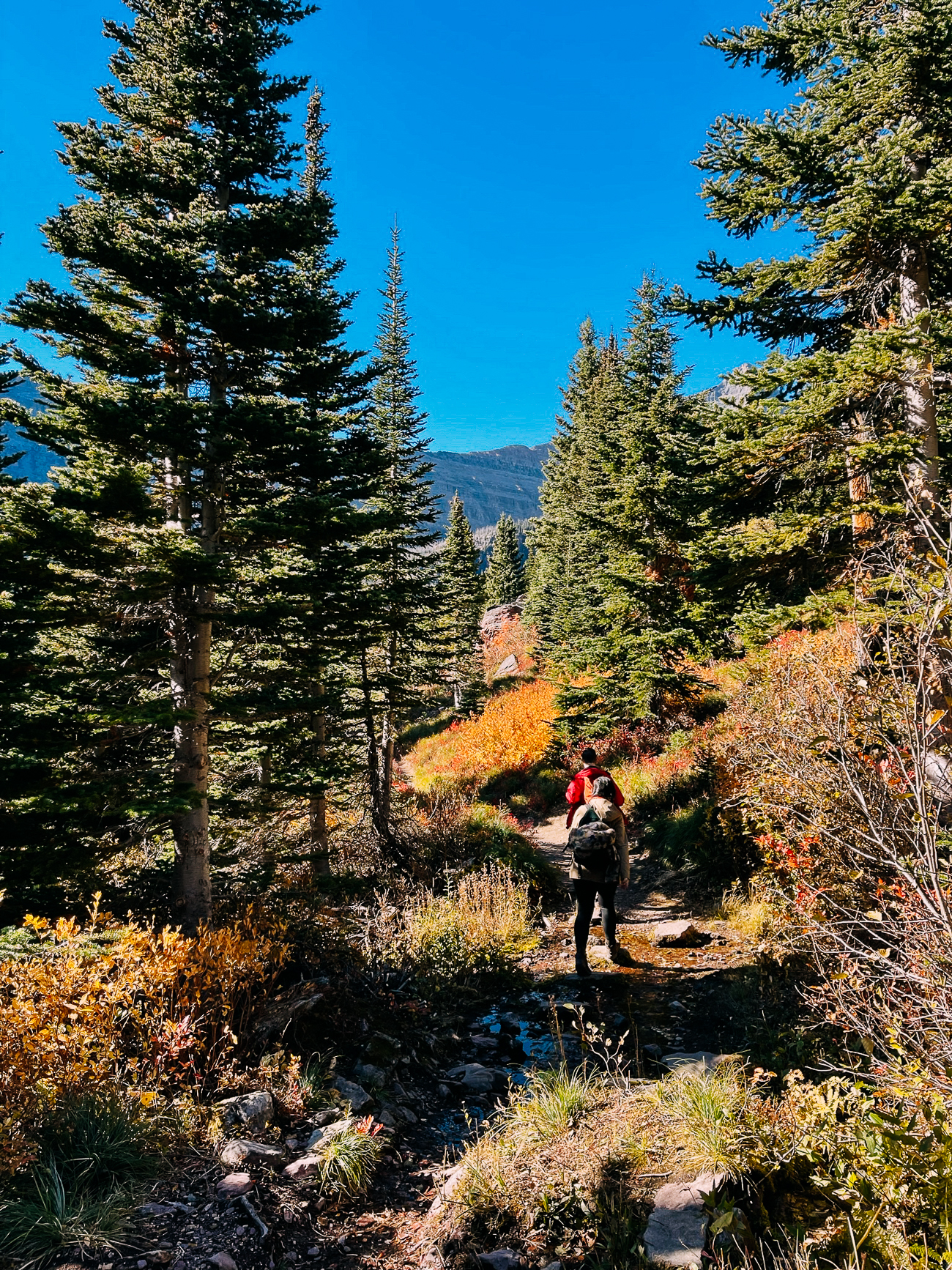
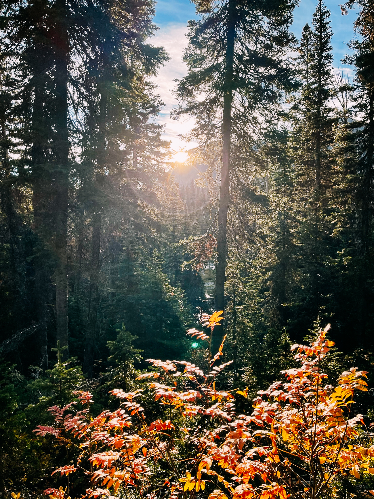
…until we reached a truly epic meadow valley surrounded by mountains.
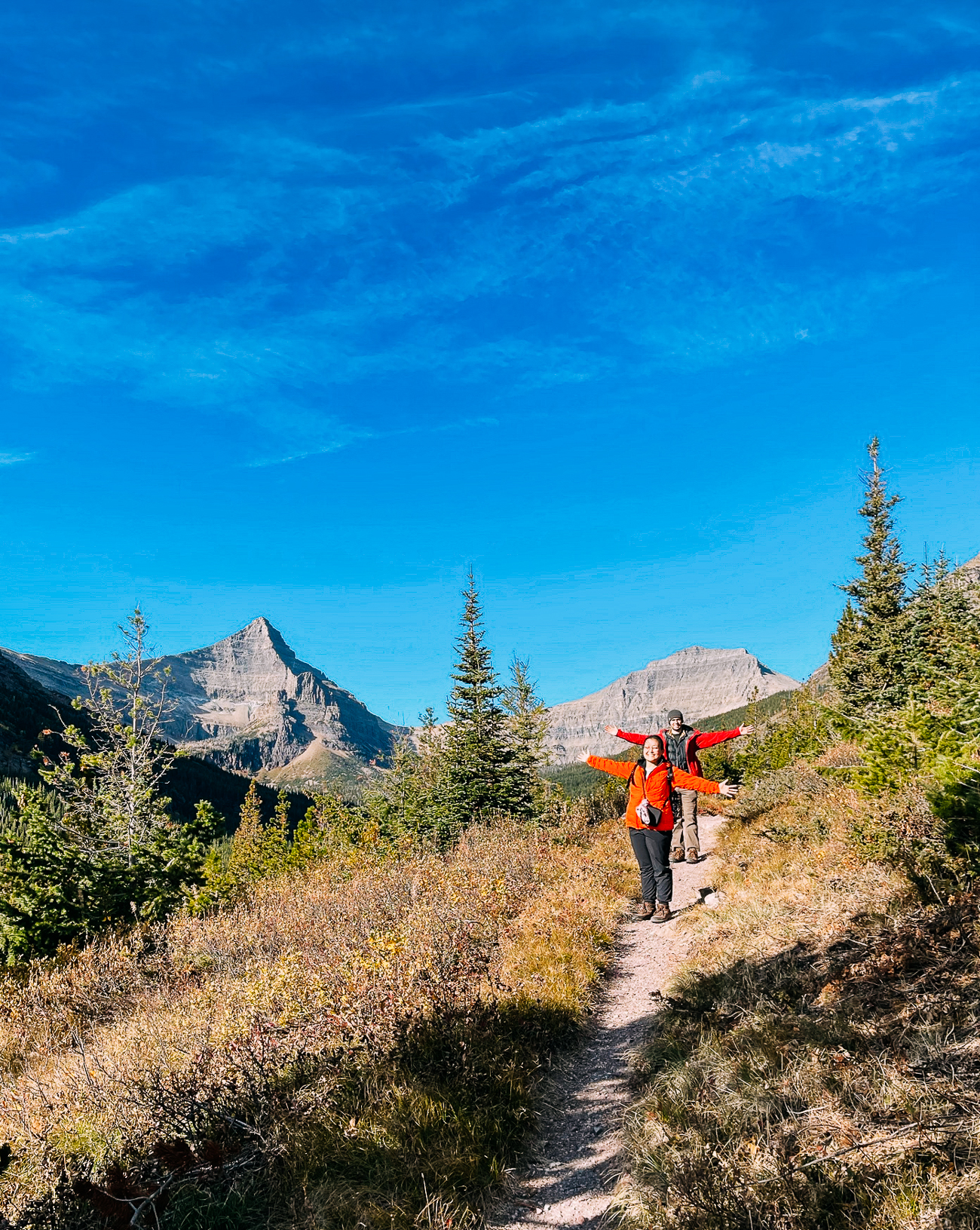
Kaitlin had her eyes peeled for wildlife, and spotted mountain goats grazing on the slopes.
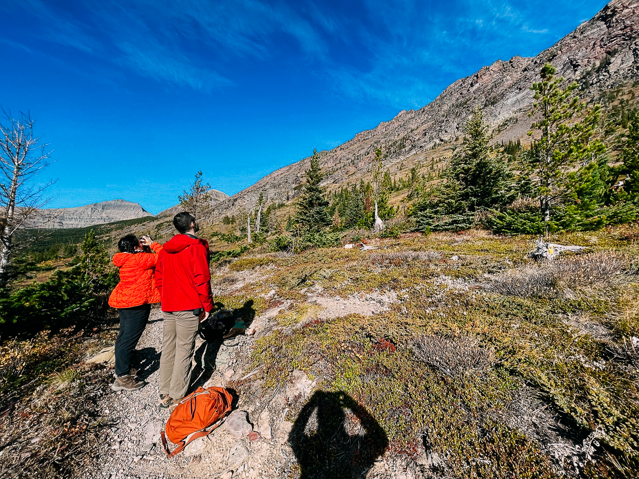
While there were other people on all the other trails we’d hiked, we saw exceptionally few people on this trail, running into two single hikers and three couples the entire day.
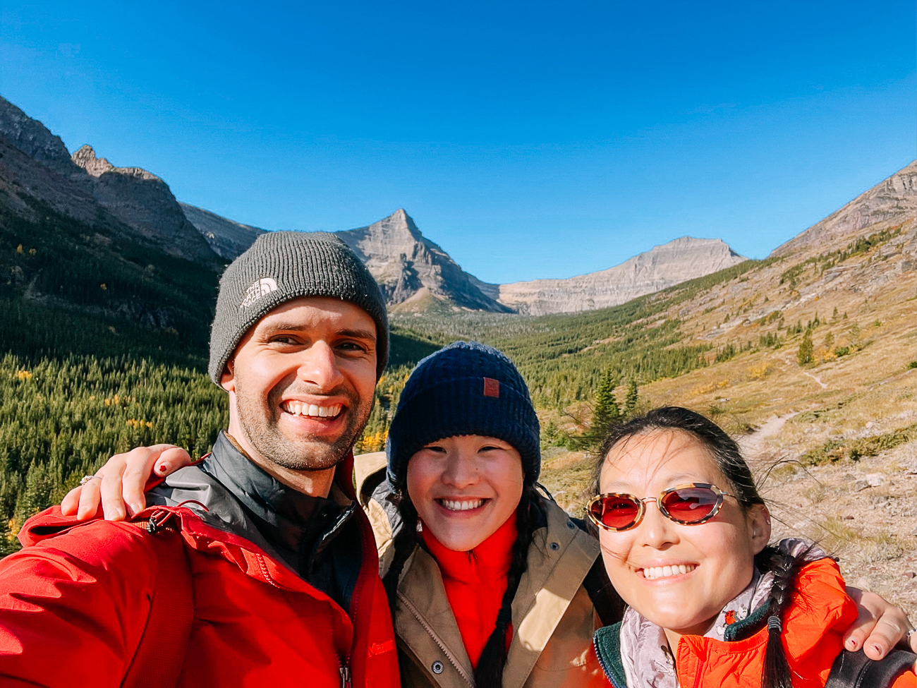
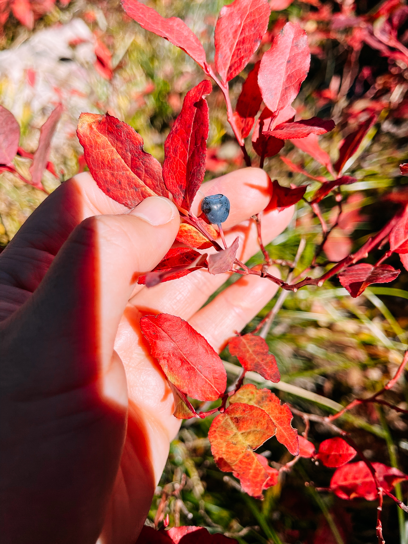
Next was a mile or so of huckleberry bushes. Some say it’s the thickest patch of huckleberries in the entire park.
We made sure to talk loudly and call out a bunch of times to alert any bears to our presence, and Justin had our bear spray ready just in case.
The bushes were mostly picked clean, but we did manage to find a small number of tiny berries to snack on.
Our next landmark was the beautiful Old Man Lake. There are 4 primitive campsites there requiring backcountry permits, making this a great overnight hike!
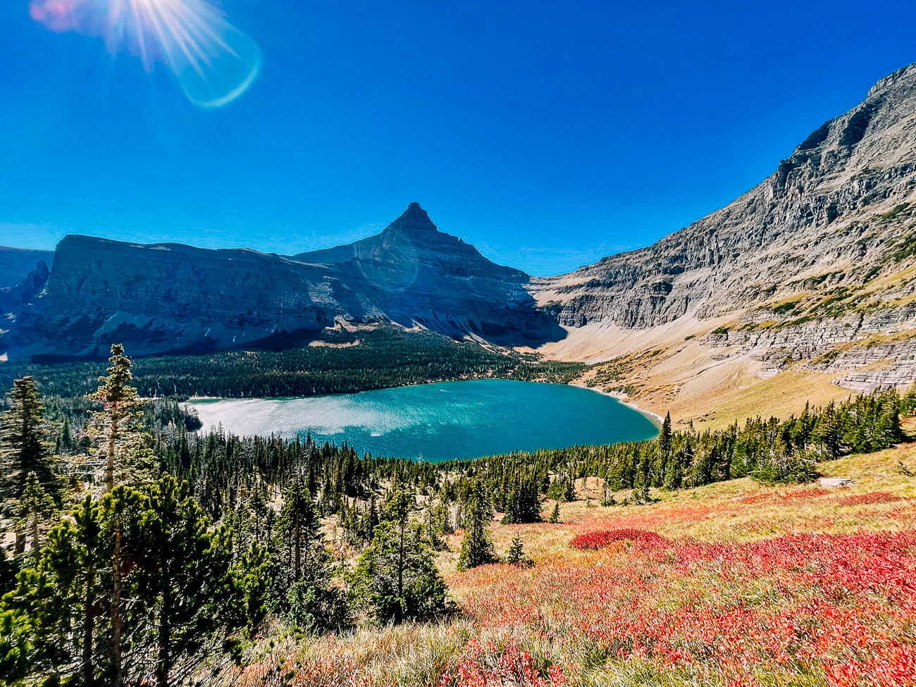
This is where we took a break for lunch. Lunch with a view!
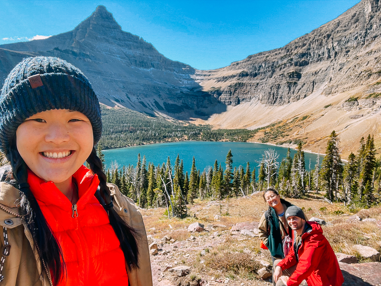
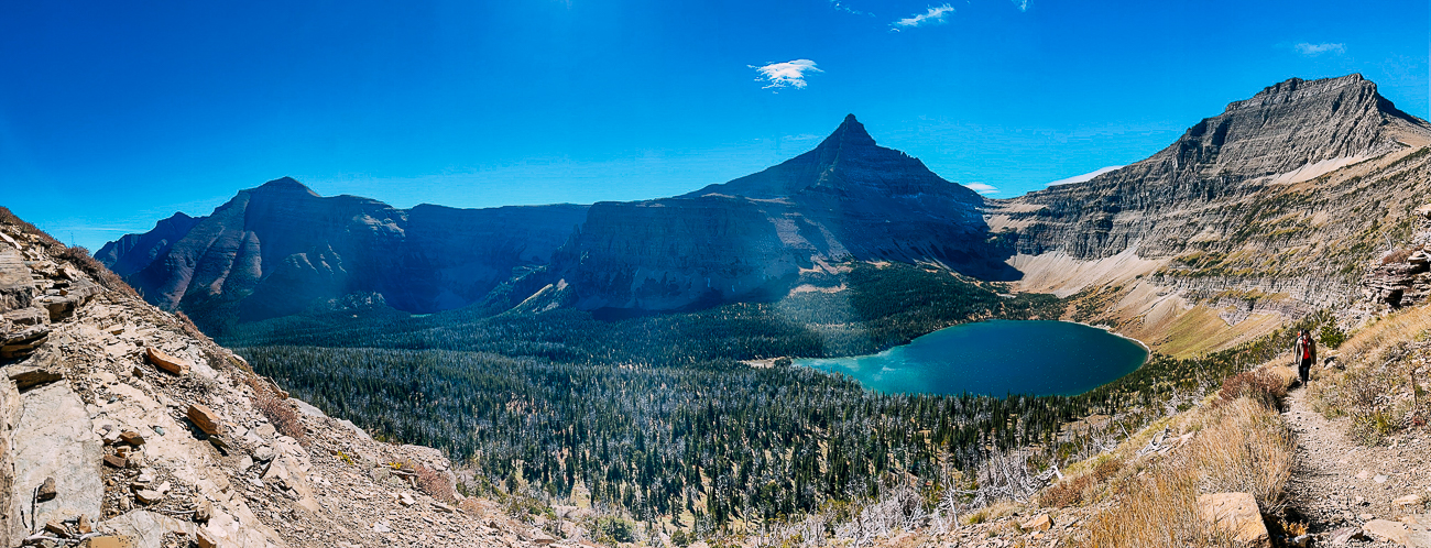
From there, we made our way up a little over a mile of switchbacks climbing 750 vertical feet. The view of the lake got better and better as we climbed.
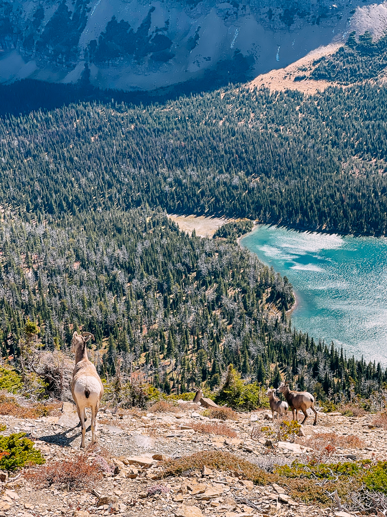
That’s where we encountered these guys:
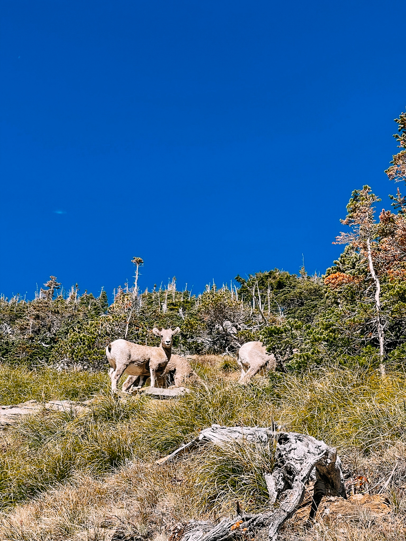
A herd of bighorn sheep were grazing right on the trail, so we made our way slowly up as they also made their way up to the pass.
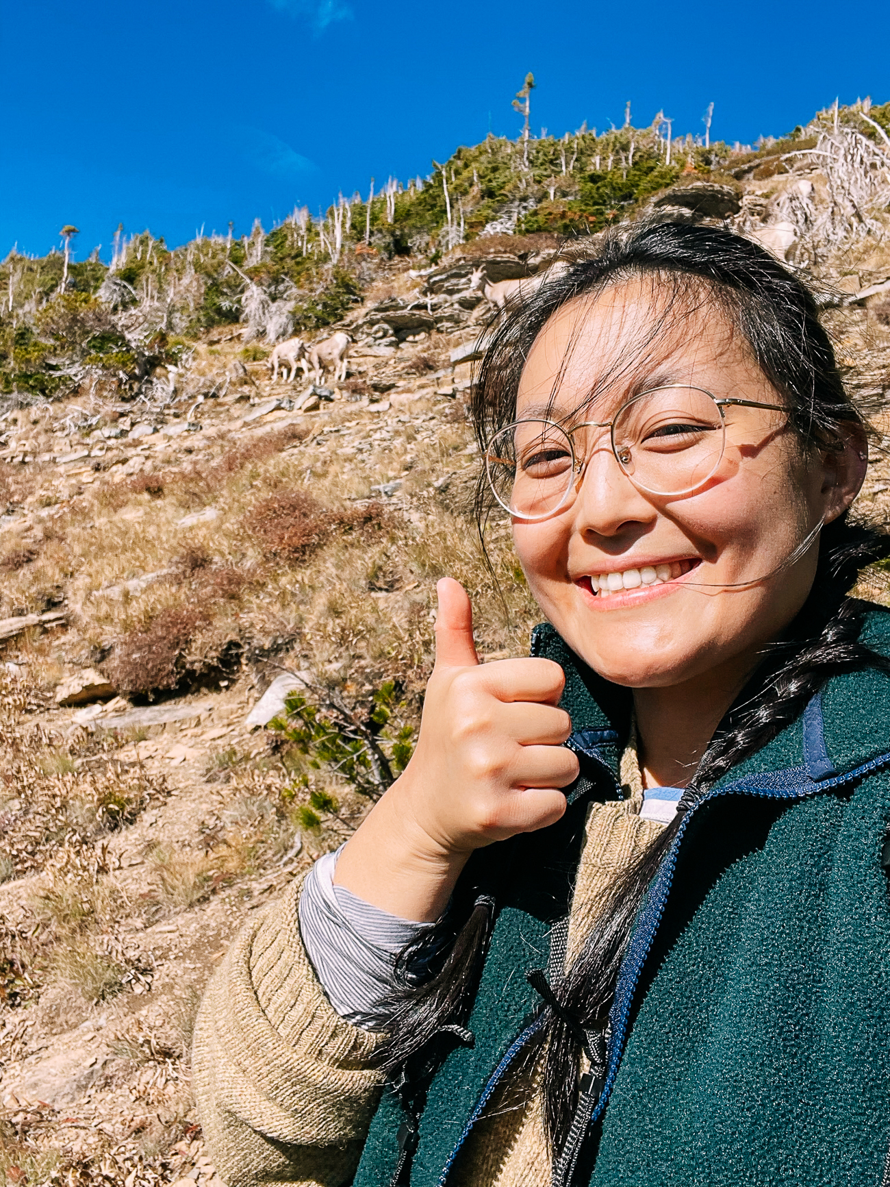
The National Park Service requires that you stay at least 25 yards from most wildlife (other than bears, wolves, and mountain lions, from whom you should stay at least 100 yards away), so we made good use of our zoom lenses and tried to stay as far back as possible.
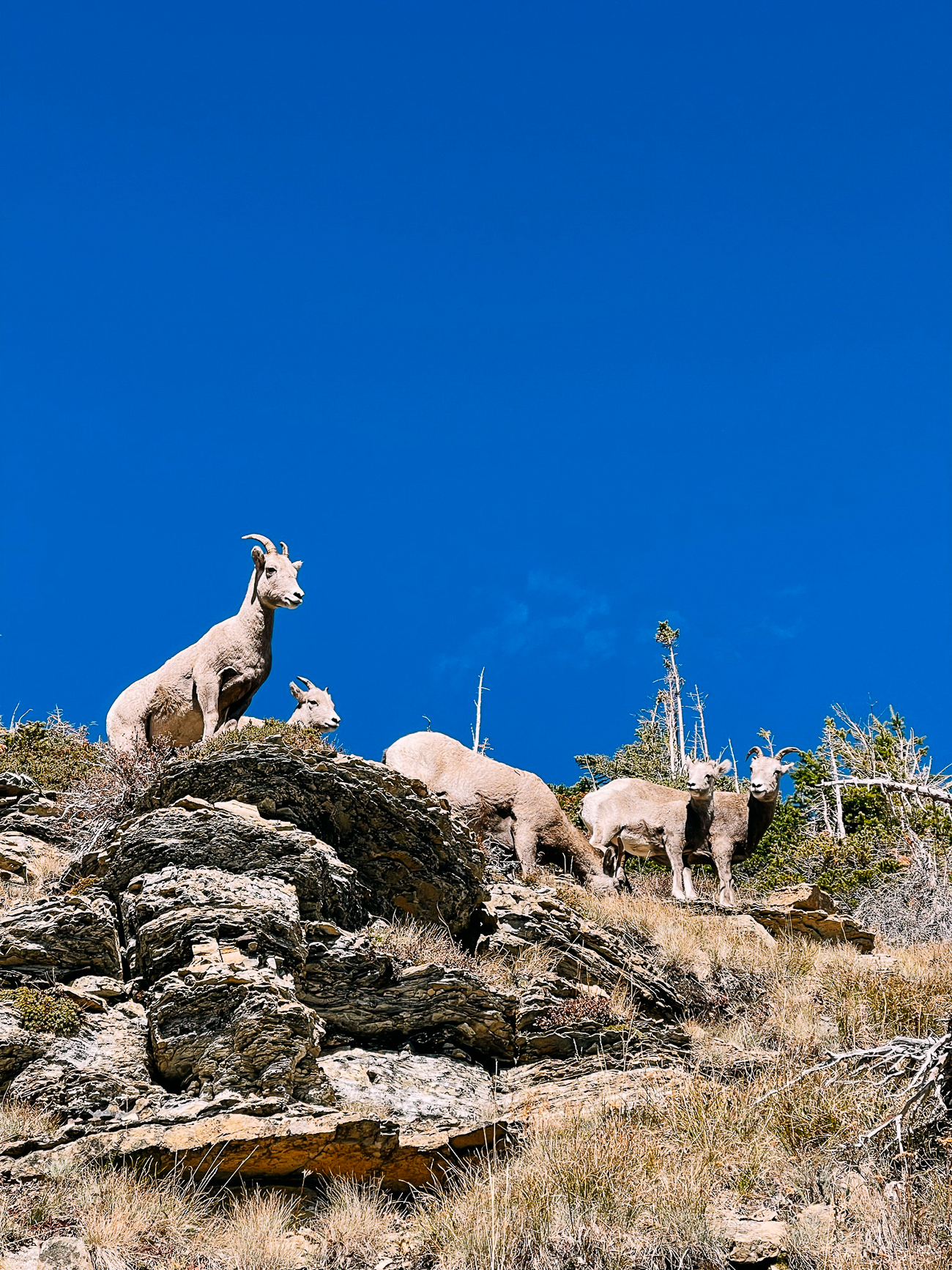
In between all our wildlife watching, we kept trudging along uphill, and eventually made it to the top of the ridge.
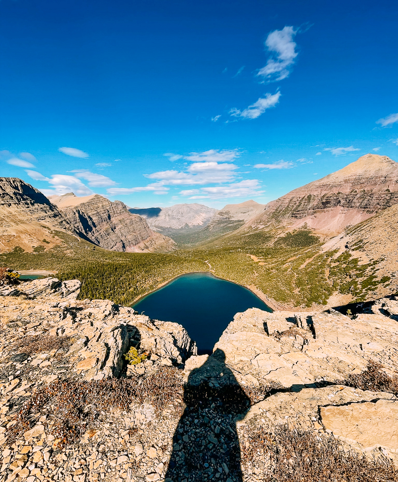
Here, we were rewarded with not just a bird’s eye view of Old Man Lake, but also a view of Pitamakan Lake on the other side.
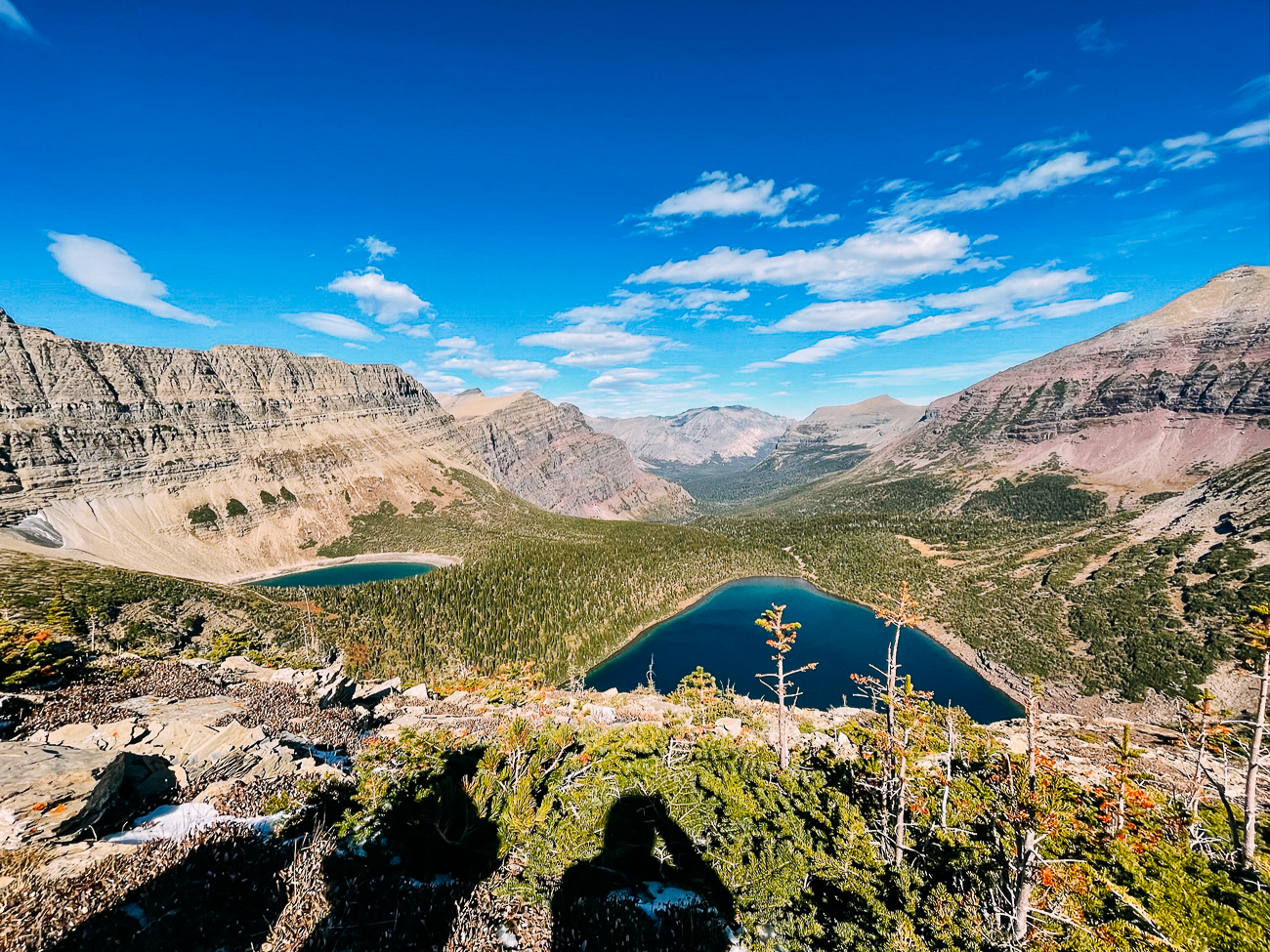
These were the views that made this the favorite hike of so many Glacier National Park adventurers!
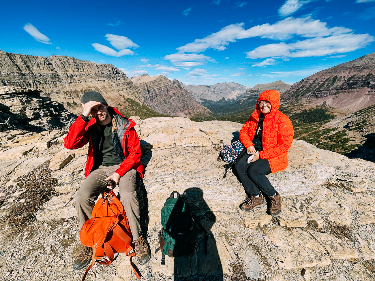
We stayed for a bit, taking in that “top of the world” feeling. The wind was already whipping at us pretty hard!
Then it was time to move on to the next section of the hike: several miles of a narrow exposed ridge that some call, “the goat traverse.”
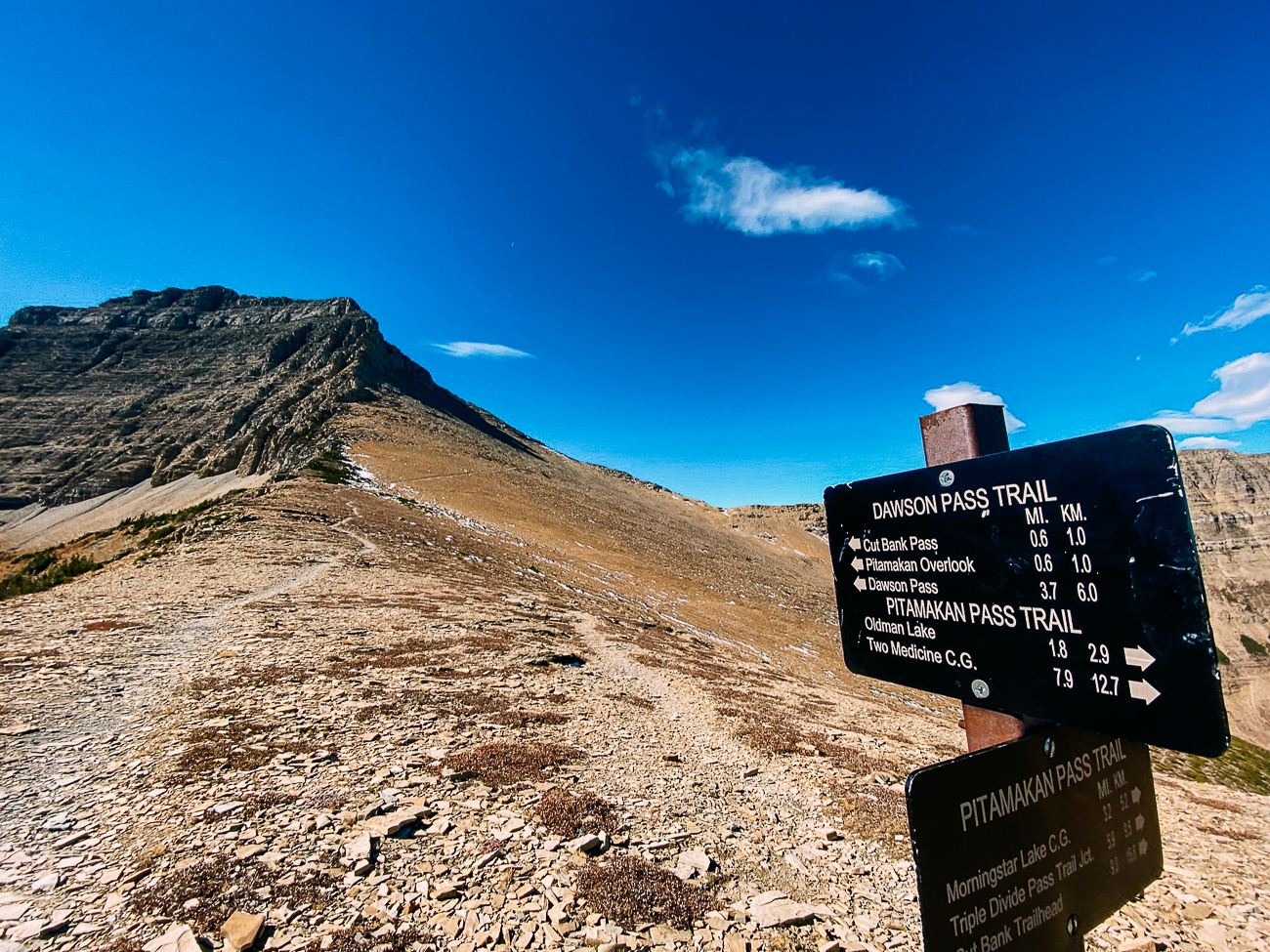
As Jake from Hike734 describes it, “This infamous traverse features a few miles of exposure, so for those with a fear of heights, this isn’t always a highlight, but a section to endure.”
See that thin line on the mountainside that Justin’s pointing to below?
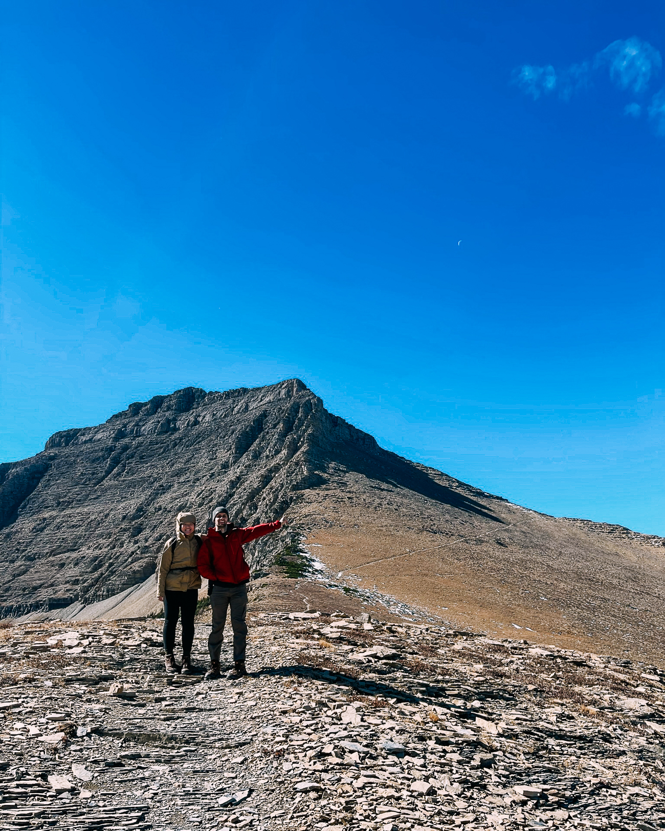
That’s just a 0.6 mile stretch leading to the actual pass, where you round the mountain to cross the goat traverse and head towards Dawson Pass.
While you can’t tell from the photos, it was incredibly windy up here!
Before heading up, we met a couple who was coming from the other side. They told us that there was snow and slush along the traverse, and that the winds were even stronger on the other side of the pass.
Eying our day packs and lack of trekking poles, they must have told us to “be careful” four or five times in that short conversation.
While we were supposedly on the “non-windy” side, we had to crouch low to the ground—or just sit—whenever a big gust blew through to keep our balance.
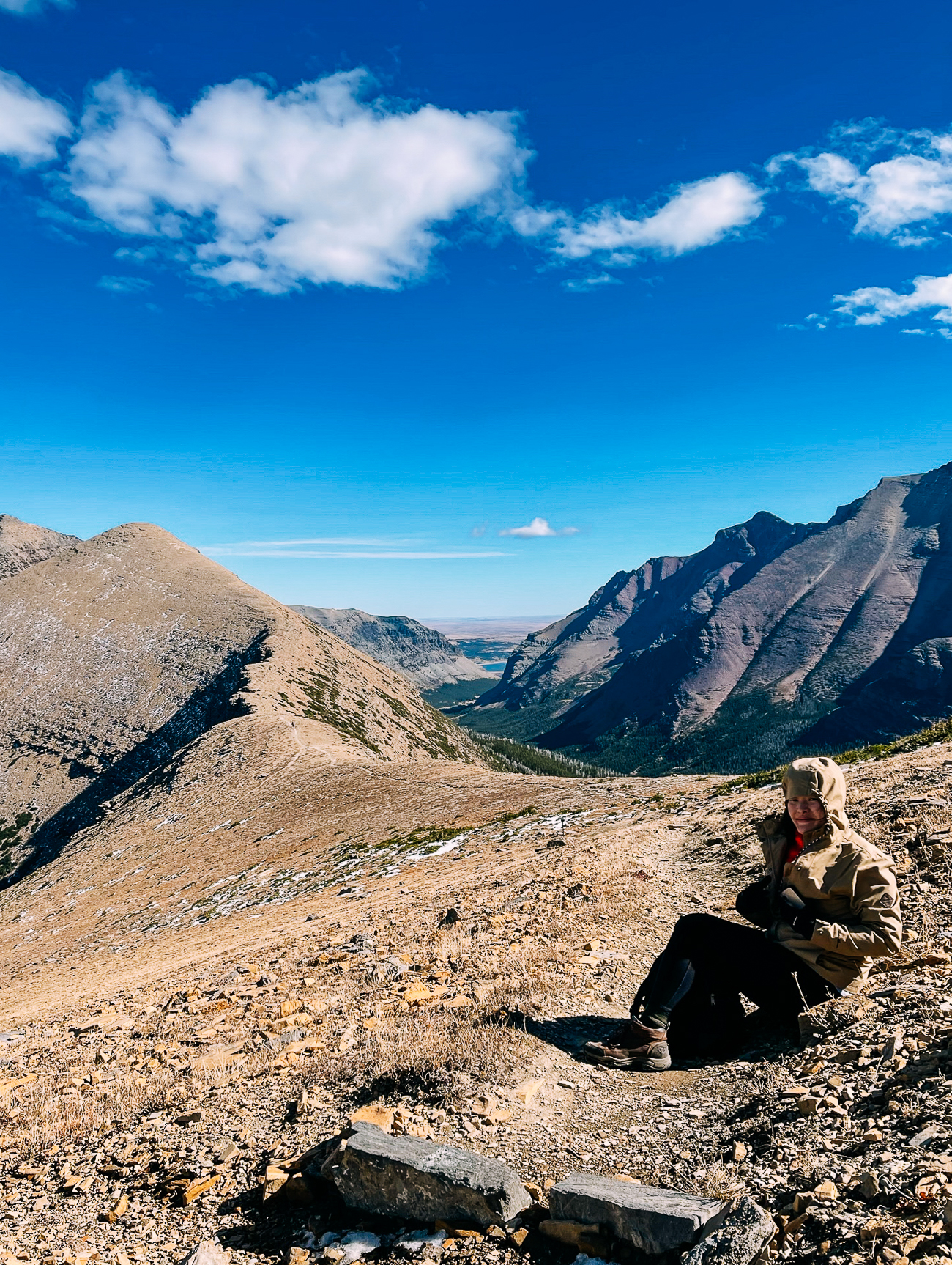
I was the first to round that bend, and MAN, they weren’t kidding about the wind.
As soon as I reached this bend to the left, a huge gust hit me in the face and nearly knocked me over.
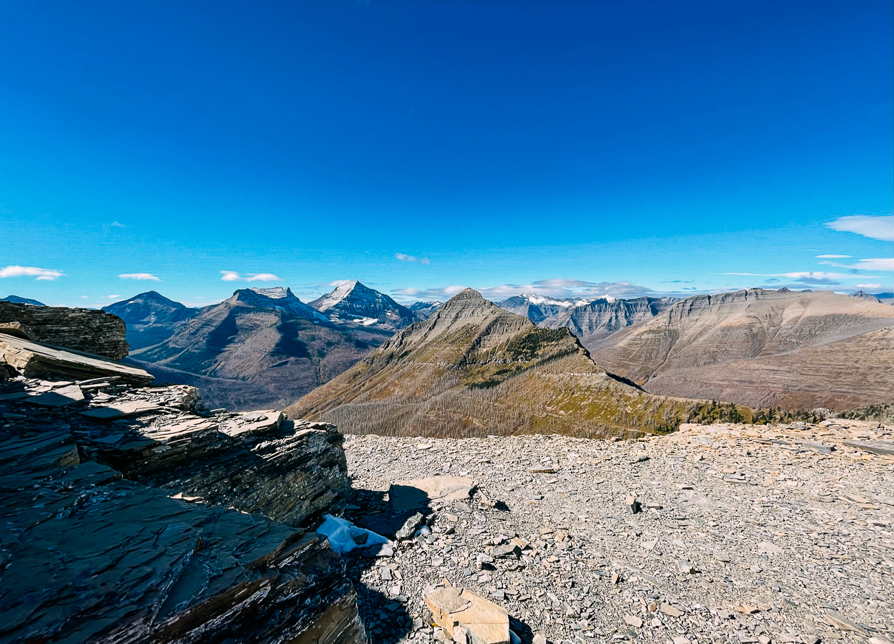
The ridge on the other side was even narrower than the one we’d just been on. We sat there and debated whether we’d continue or turn around.
Eventually, after admiring that view around the bend for a few minutes despite the raging wind, we decided that 3 or so miles of exposed ridge in extremely windy conditions with snow/slush on the ground and no trekking poles probably wasn’t a great idea, and that we’d be better off turning back.
But that would be another reason to come back to Glacier—next time hiking Dawson Pass!
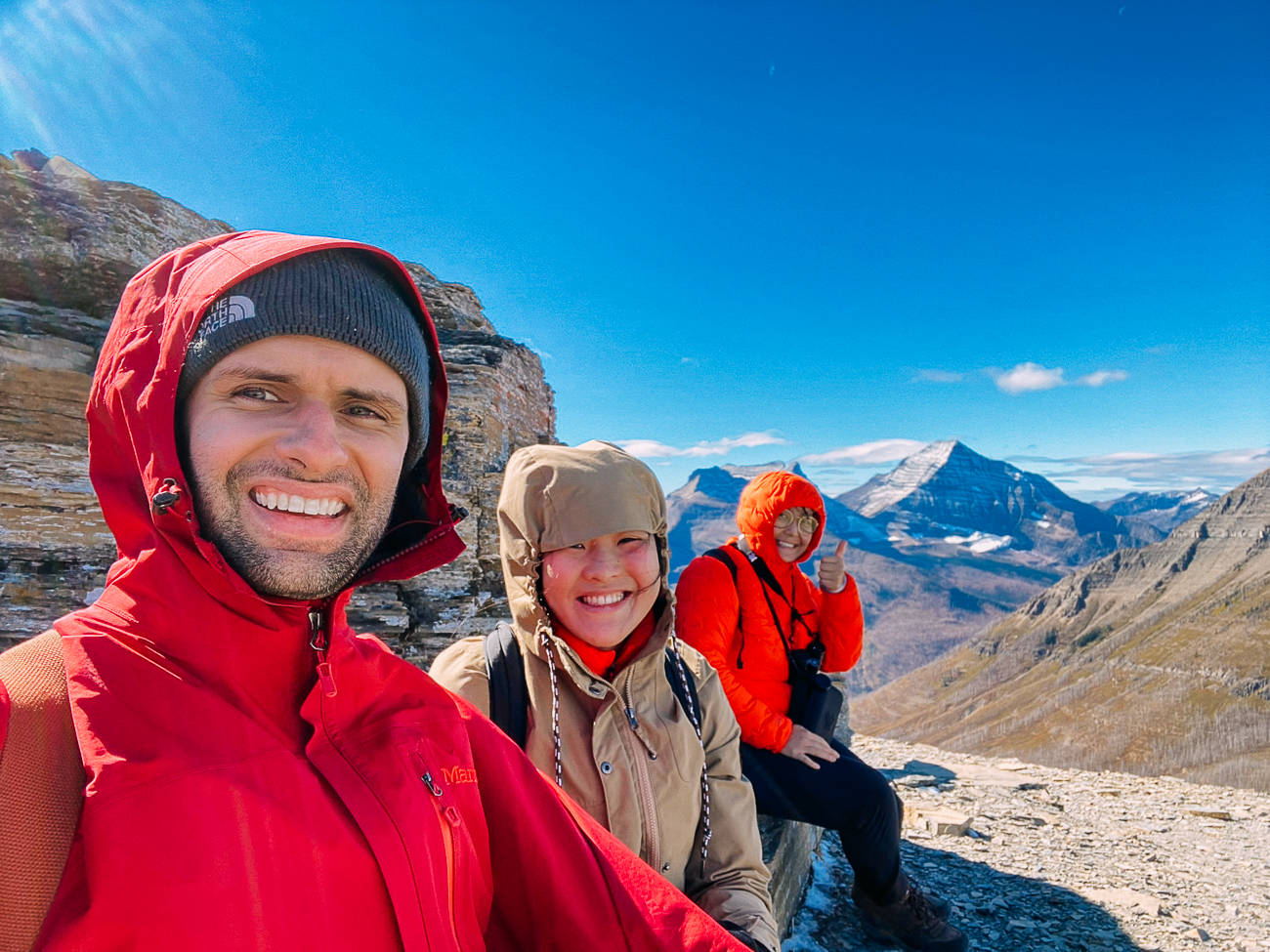
The way back down was much more leisurely, as we were retracing our steps and just enjoying the views.
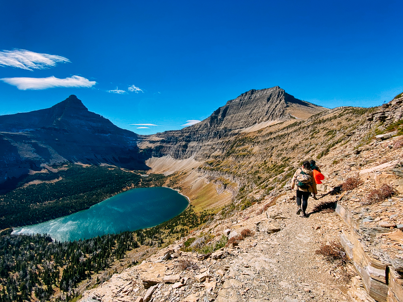
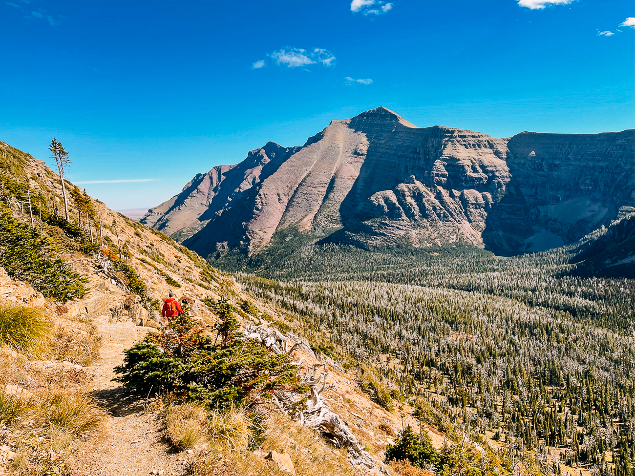
On this route back to the car, we kept sneaking looks at the mountain behind us, exclaiming things like, “DANG. We CLIMBED that.”
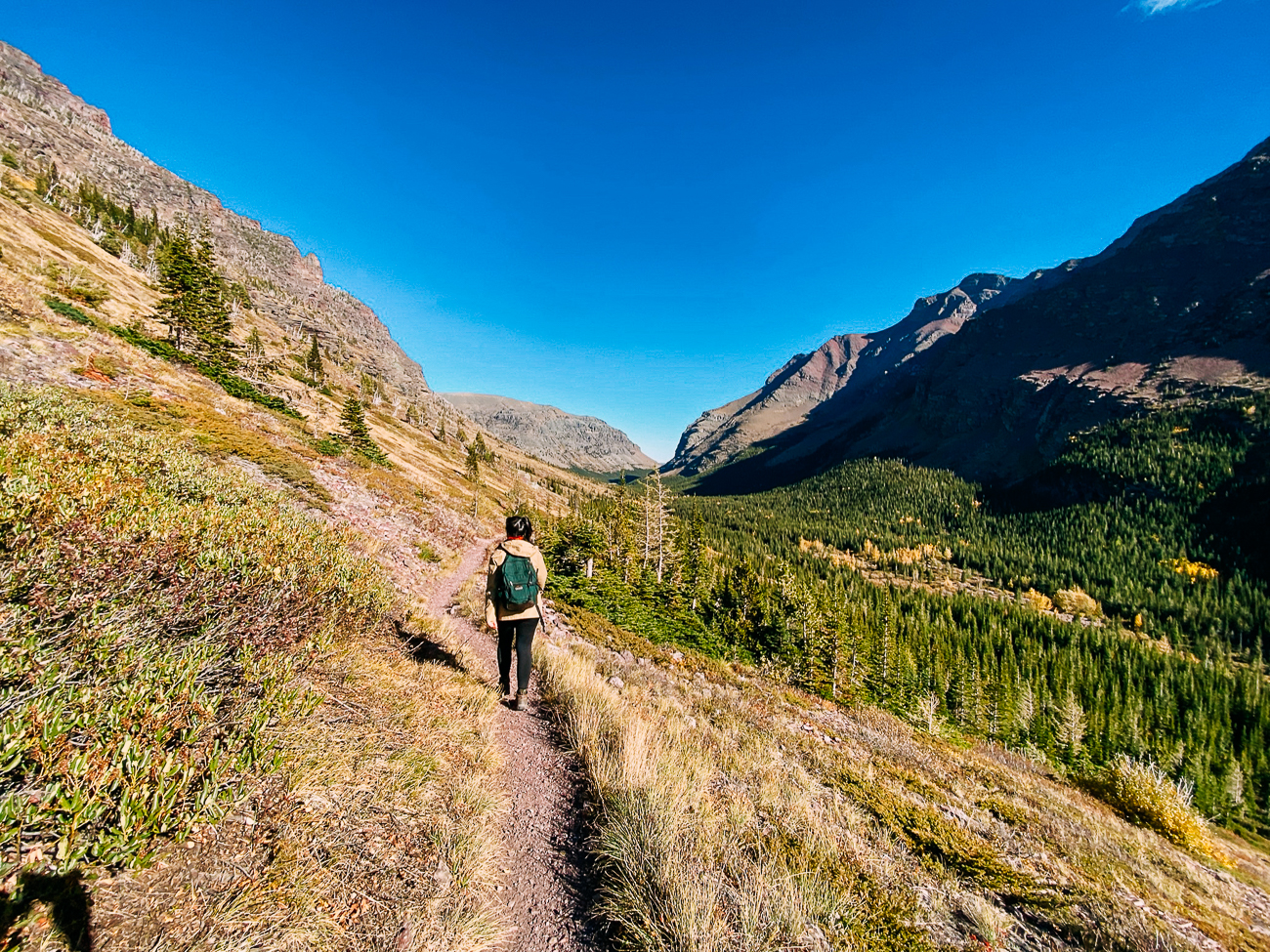
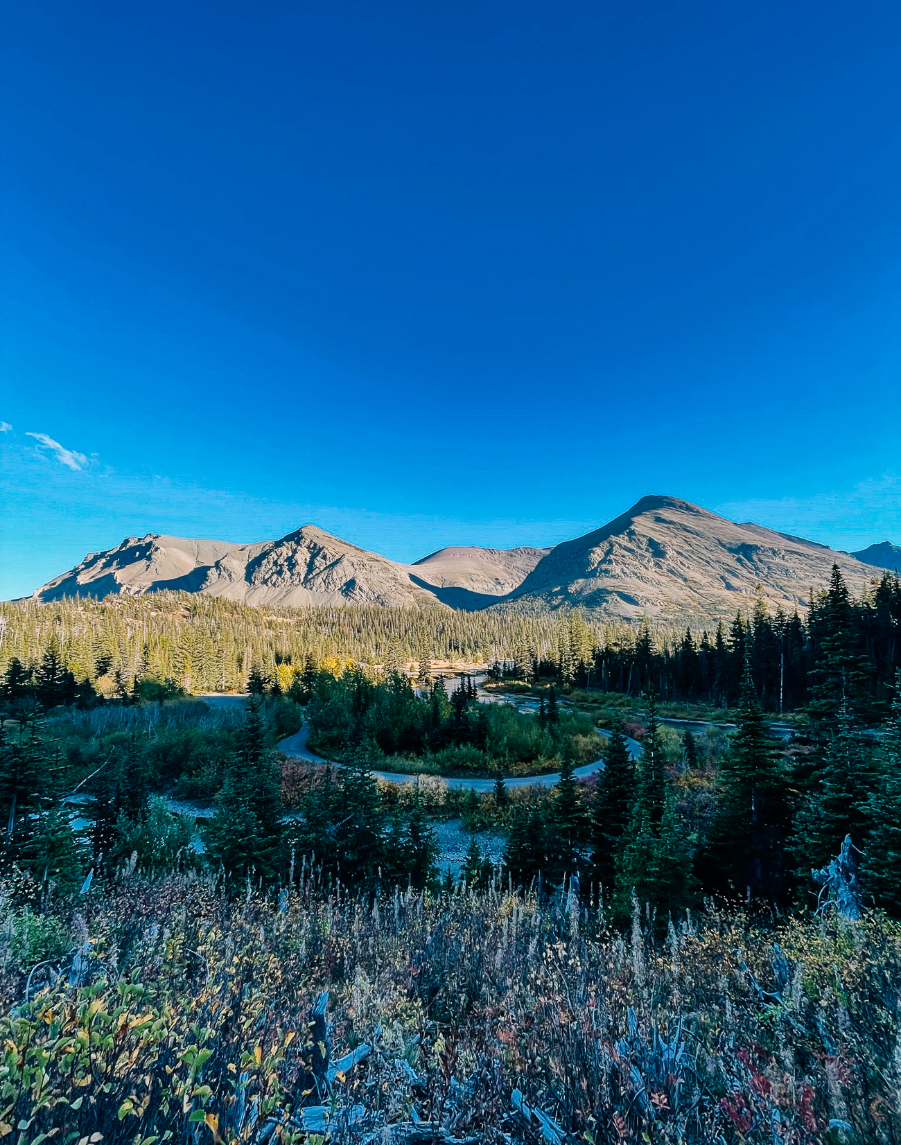
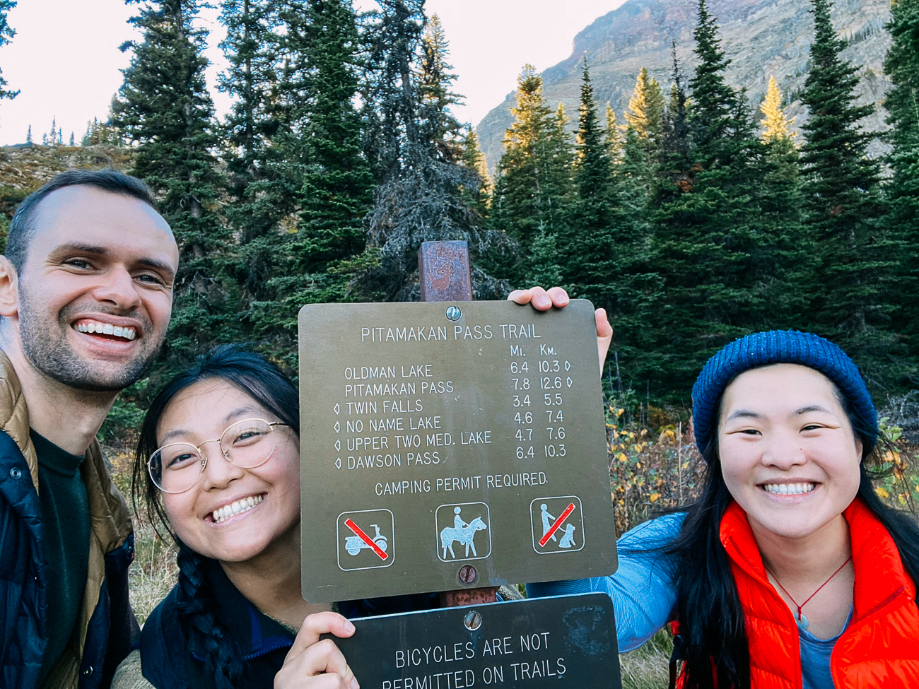
By the time we reached the trail junction where we’d began, it was about 5:30 PM, and we’d gone about 16 miles. We made sure to take an “After” photo, windswept, sun-chapped, and very tired.
We practically hobbled our way to the car, but we felt really accomplished!
We’d rounded an entire mountain, walked through a huge meadow valley, climbed yet ANOTHER mountain, and stood atop an incredible ridge with views as amazing as advertised.
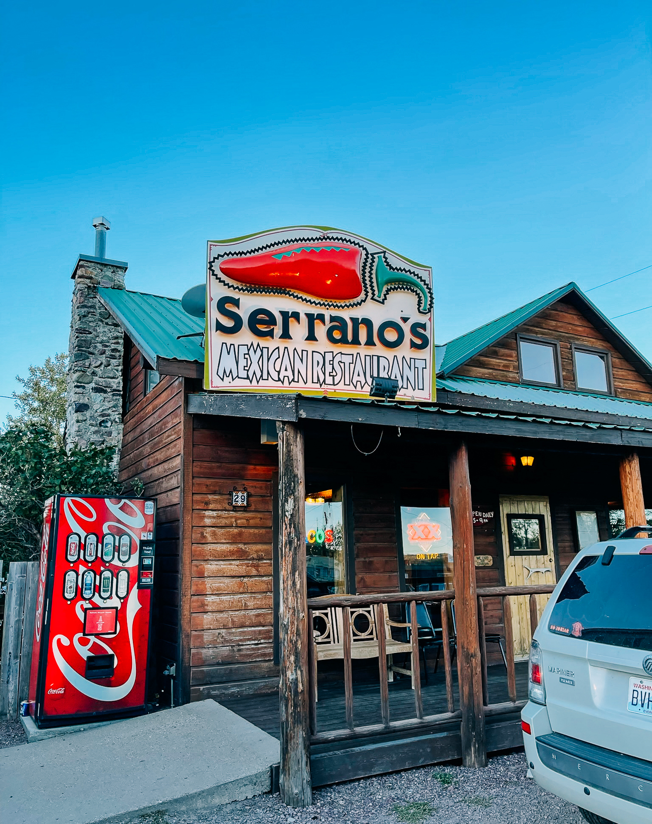
On our way home, we stopped for dinner at Serrano’s, a solid Tex-Mex spot in East Glacier Park.
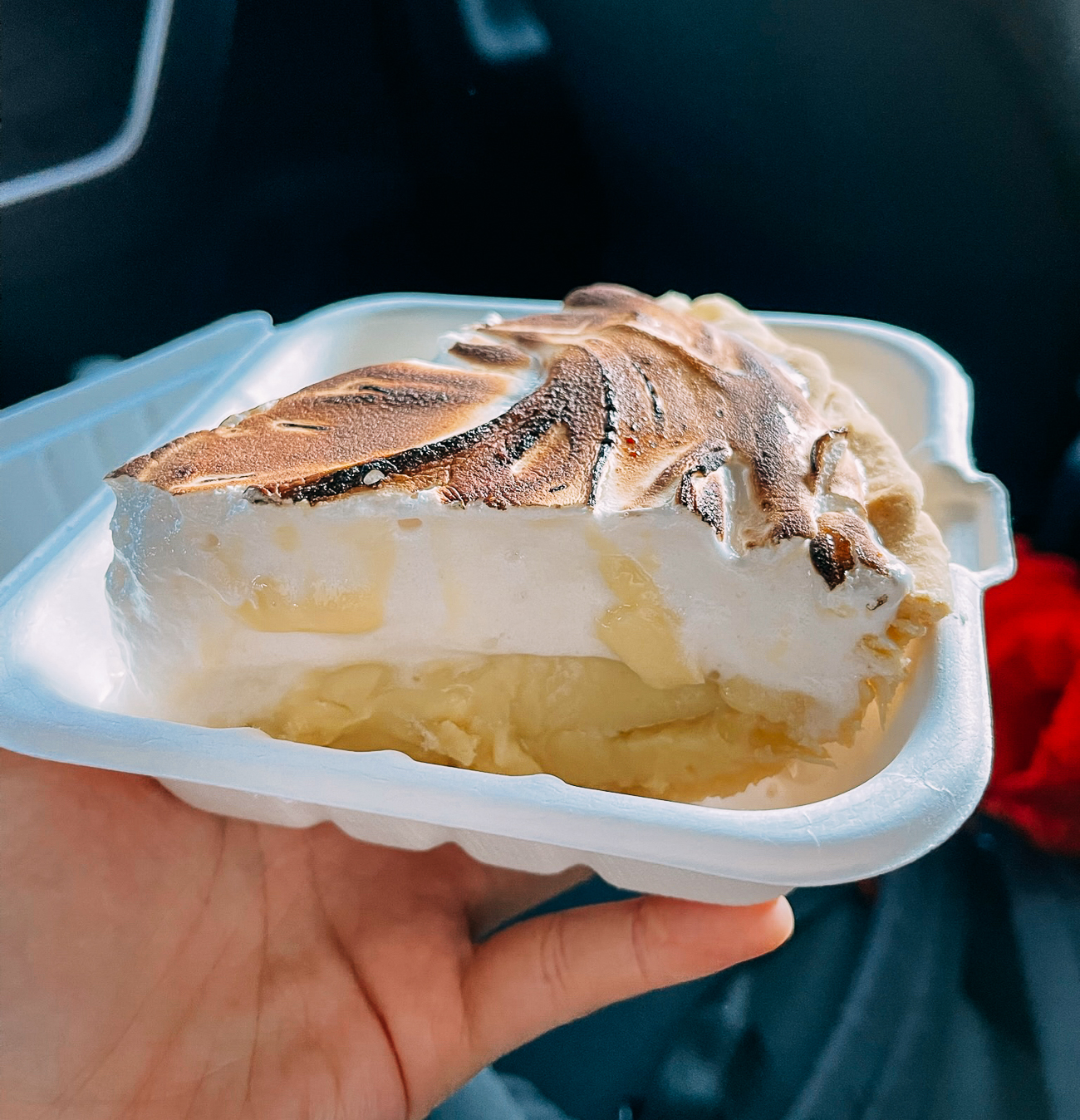
With really good key lime meringue pie:
That night, we took hot showers and collapsed into our beds with very achy feet!
Day 4: Recovery
The next day, we rested. We had no more energy for hiking after the day before, instead opting for more easygoing activities.
We slept in…
Went to grab breakfast from the hotel buffet in our pajamas…
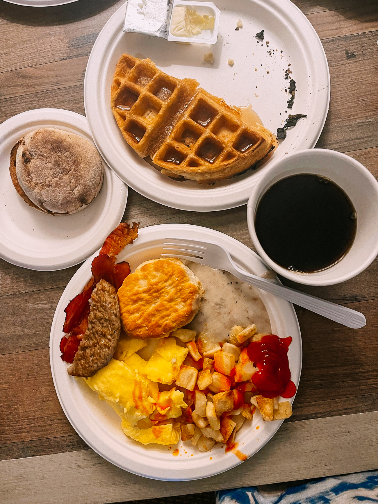
And ate waffles and breakfast potatoes in the hotel room.
When we felt up for venturing out, we visited Conrad Mansion & Museum, a historic home built by the founder of Kalispell, Montana.
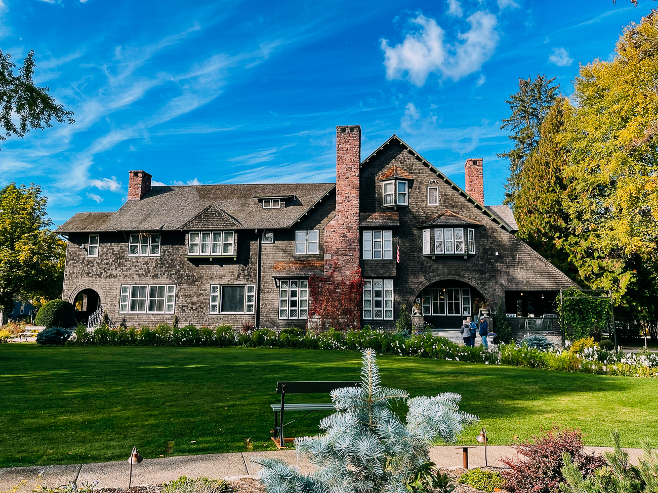
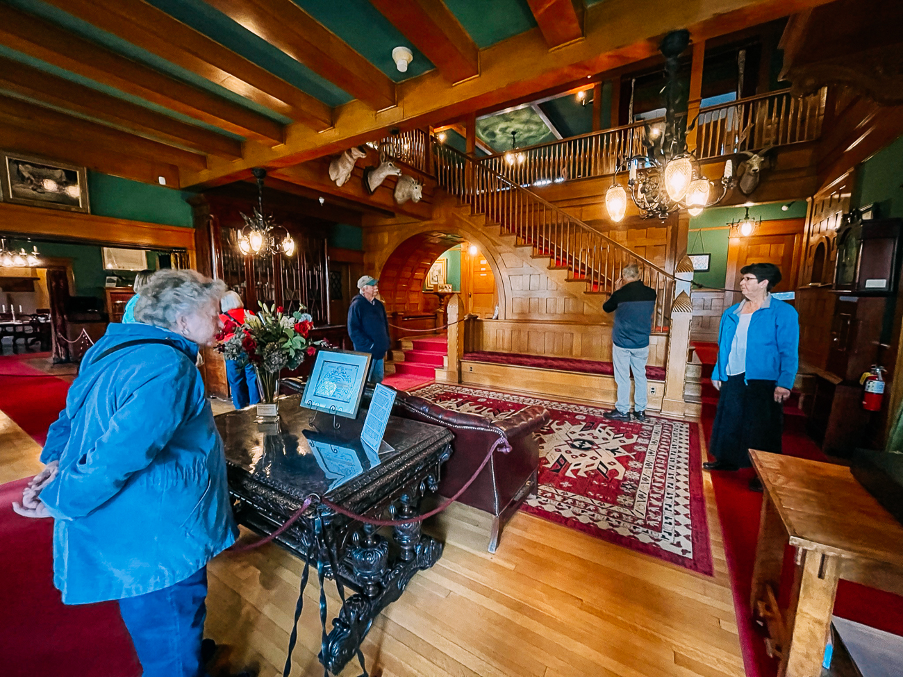
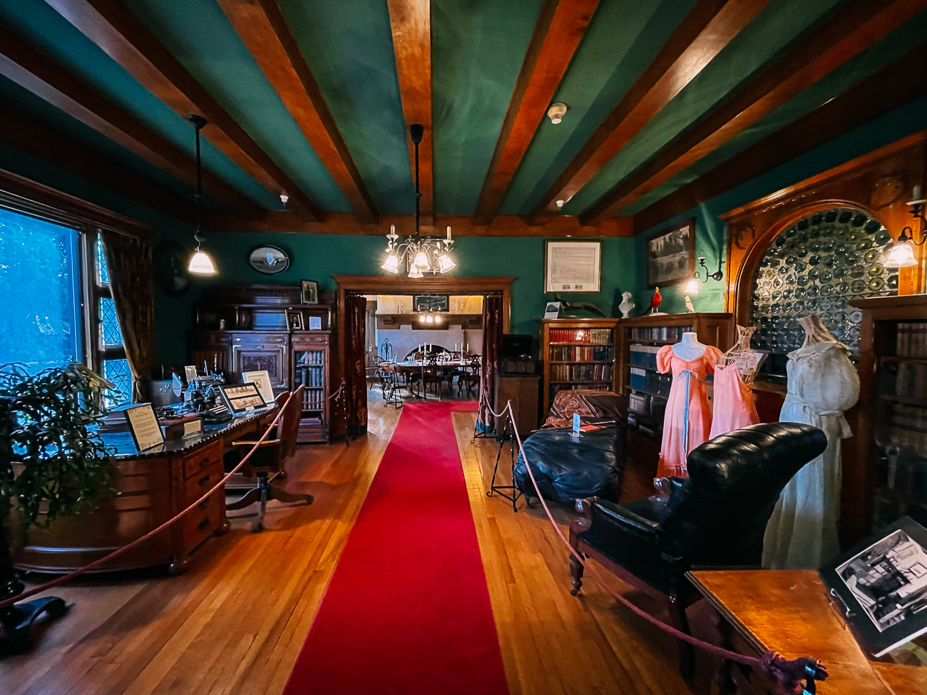
We had light lunch at Bonelli’s Bistro in Kalispell, and then got super relaxing massages at Natural Elements Massage & Spa in Whitefish, who were luckily able to fit us in last minute! (Highly recommend this place!)
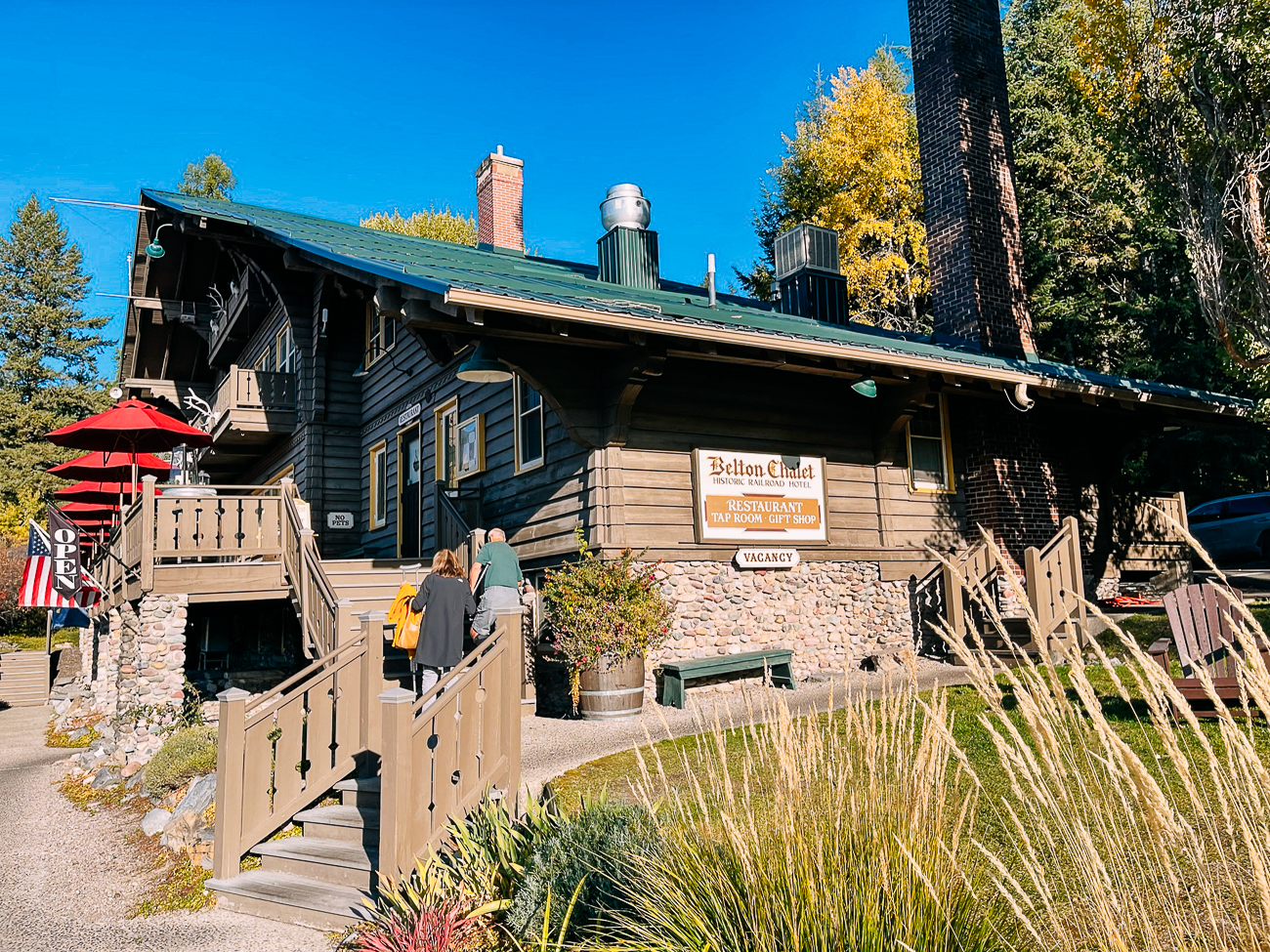
Then we went for an early dinner at Belton Chalet, a historic railway hotel (the first built by the Great Northern Railroad). Not only can you stay there, they also have a delicious restaurant!
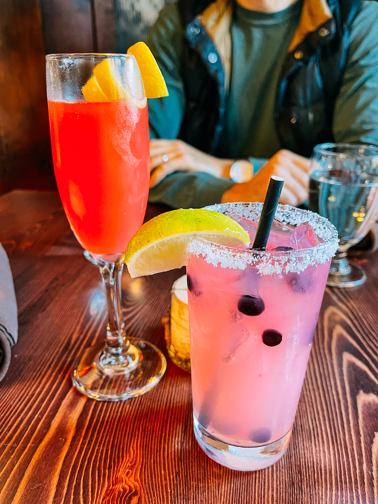
We enjoyed a couple drinks:
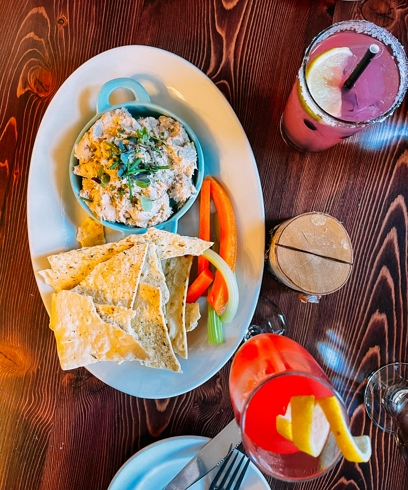
Some tasty smoked trout dip:
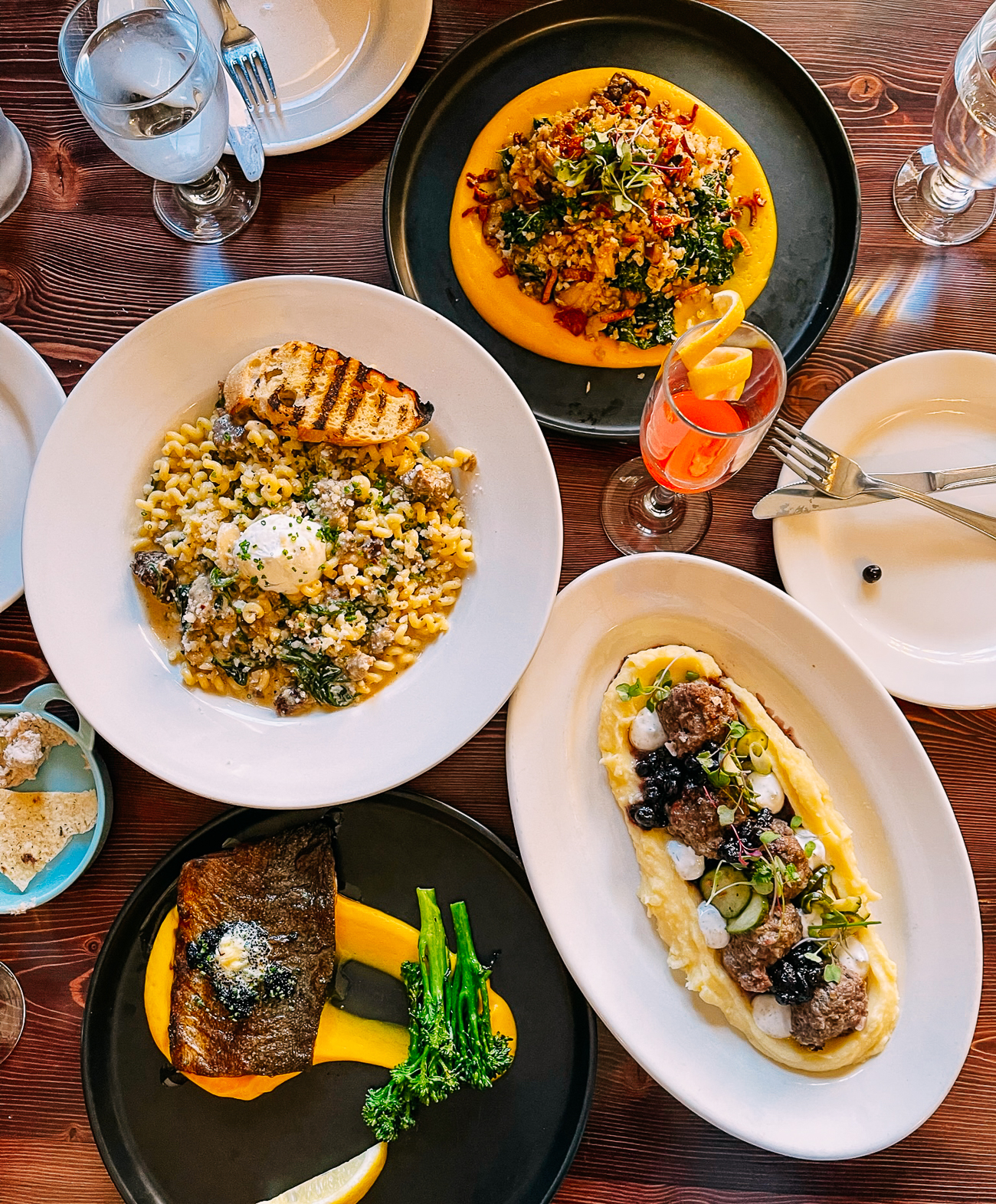
And a hearty dinner of pasta, a surprisingly tasty cauliflower rice dish, meatballs, and steelhead trout. The winner of the night was that creamy pasta!
We checked out the chalet’s gift shop as well before heading home for the night.
A Day in Many Glacier
While Many Glacier was closed, we did originally plan to go there! So here’s what we would’ve done had this area been open.
There are several iconic hikes in Many Glacier, at varying lengths. The two most famous ones are probably Grinnell Glacier (7.5 miles with a boat cruise) and Iceberg Lake (9.7 miles).
Grinnell Glacier Trail – Length: 7.6 miles
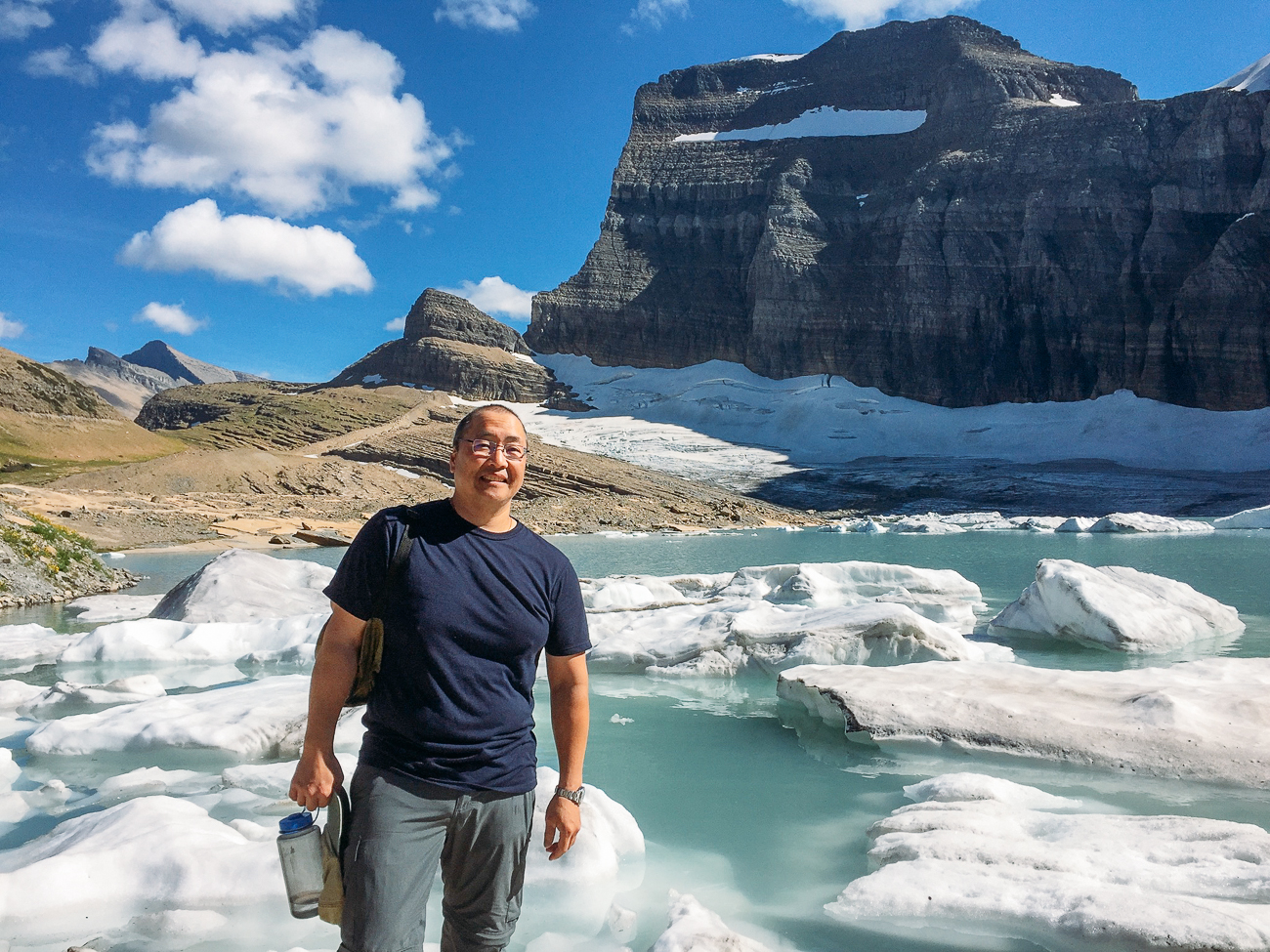
My dad actually did the Grinnell Glacier hike back in 2016, which is how I got the pictures below. While you can hike the trail directly from the trailhead near Many Glacier Hotel, that would be a 12 mile trek.
Most people take 2 boat rides run by Glacier Park Boat Company across Swiftcurrent Lake and Lake Josephine to reduce their roundtrip distance to 7.6 miles. That’s exactly what my dad did!
(These boats usually stop running around mid-September.)
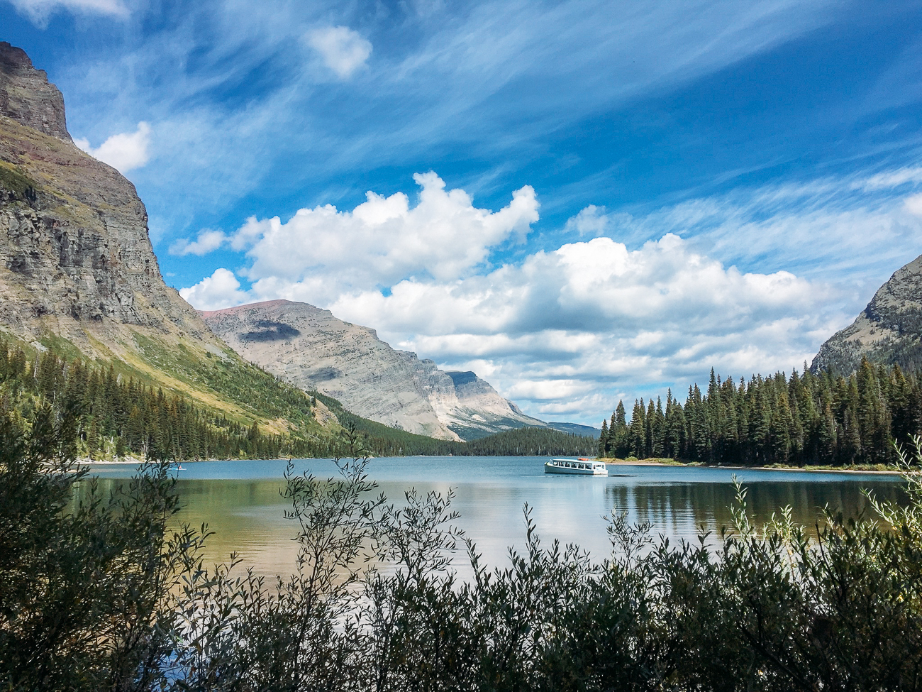
Grinnell Glacier is the most visited of the only 25 remaining glaciers in the park. (In 1850, there were 150 of them.) The hike takes you pass views of Grinnell Falls, surrounding mountains, wildflowers, and Grinnell Lake.
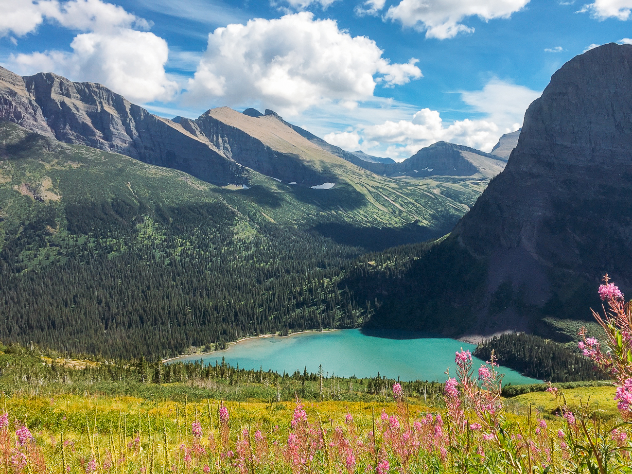
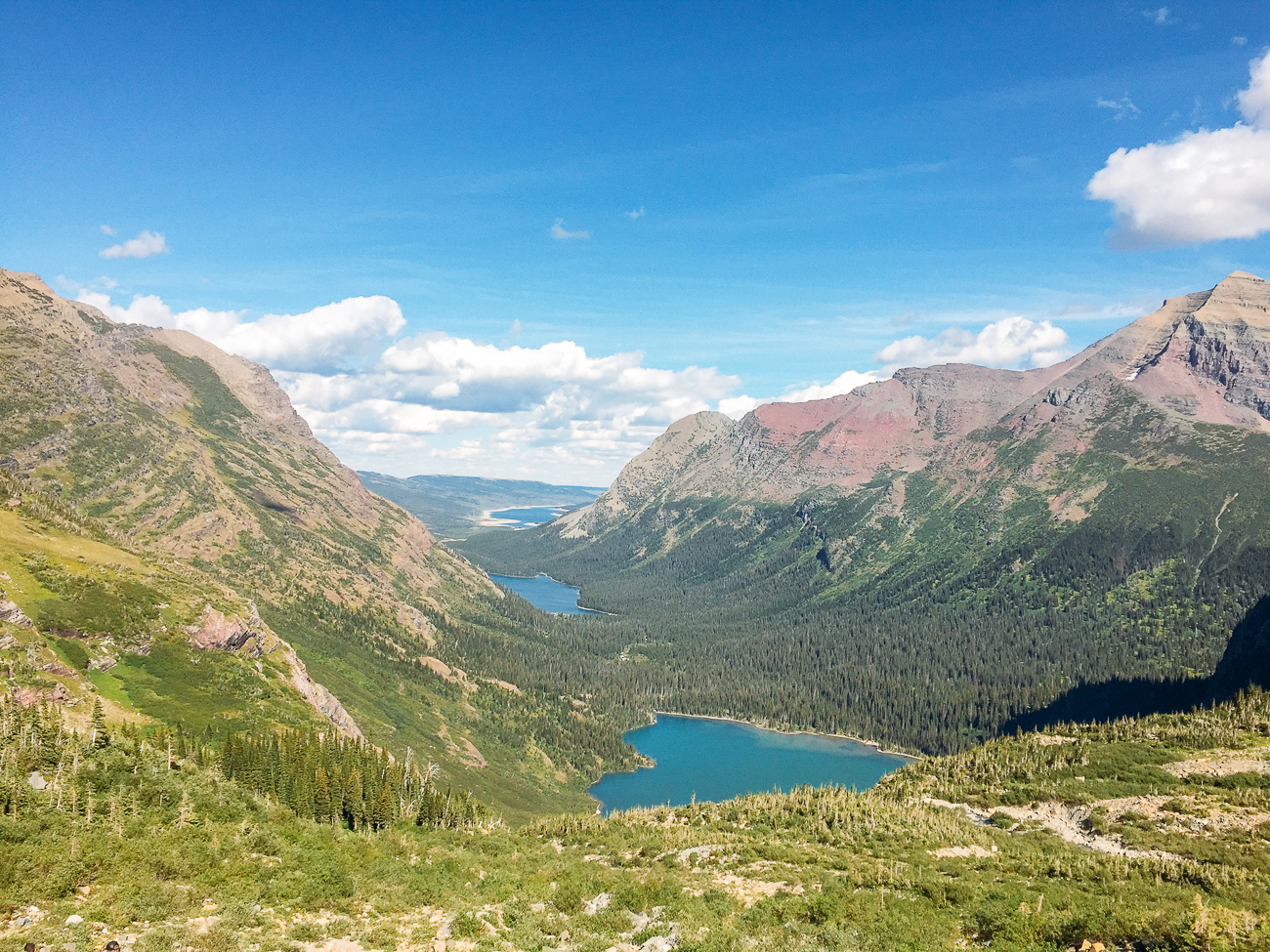
The glacier is at Upper Grinnell Lake.
Iceberg Lake Trail – Length: 9.7 miles
An alternative hike, Iceberg Lake, is known for more great views, wildflowers, and an alpine lake filled with floating icebergs.
There’s a total of 1275 feet of elevation gain across 10 miles, with a trail that’s mostly gradual. The trail begins at the Iceberg Lake/Ptarmigan Tunnel trailhead near the Swiftcurrent Motor Inn.
Redrock Falls Trail – Length: 4.2 miles
For a shorter hike in the Many Glacier area, you can give Redrock Falls a try. The trail is basically flat (285 feet of gain), and features waterfalls and lakes.
Visit The Many Glacier Hotel
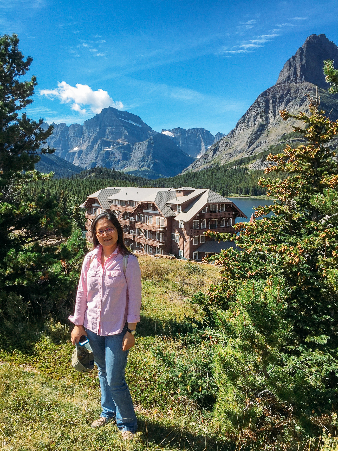
Don’t leave the area without visiting the grandest hotel in the park. Built in 1914-15, also in the Swiss chalet style, this grand hotel is located on Swiftcurrent Lake.
With the Matterhorn-like peaks around it, it really does look like Switzerland in North America!
It has magnificent views and a lakeside restaurant, so even if you couldn’t score a room here, try stopping for lunch at the Ptarmigan Dining Room.
Glacier National Park Regions:
The park is BIG. There are seven regions, or sections, each with its own characteristics!
Lake McDonald Valley
The hub of the Park’s west side, near the west entrance, the 10-mile-long Lake McDonald is often your first glimpse of the park’s stunning views. This is where you’ll find Apgar Village & Campground, access to popular trails like Avalanche Lake and Trail of the Cedars, and Lake McDonald Lodge.
Many Glacier
According to the NPS, many people consider this to be the heart of Glacier National Park, with the park’s few remaining active glaciers, massive peaks, and iceberg filled lakes. Popular hikes in this area include Grinnell Glacier and Iceberg Lake.
Logan Pass
This is the alpine section of the park, at the highest elevation reachable by motor vehicle (6,646 ft). The weather can be much different up here than it is down at West Glacier or St. Mary Valley—colder, windier, and perhaps cloudier! This is one of the most popular areas of the park, as it is a key destination along the Going-to-the-Sun Road, with access to the Highline Trail and Hidden Lake. The Logan Pass Visitor Center parking lot fills up quickly! Not far is the popular trail to St. Mary Falls/Virginia Falls.
St. Mary Valley
The St. Mary Valley is the eastern gateway to the park, with a mix of prairies, mountains, and forests. Bordering St. Mary Lake, you’ll find some of the most breathtaking views in the park.
Two Medicine
Once the park’s primary destination for train travelers to Glacier National Park (before the Going-to-the-Sun Road was built), this area now has fewer visitors than the rest of the park. However, it is filled with hikes, including the epic Pitamakan/Dawson Pass loop, which begins at Two Medicine Campground.
North Fork
Located in the Northwest corner of the park, this remote area is characterized by mountains overlooking open prairies. It was once a destination for early homesteaders looking to settle in the region, and is only accessible by primitive dirt roads.
Goat Haunt
Usually accessed by a boat ride from Waterton Lakes National Park in Canada, or by backcountry trail, this area is where you’ll find the border between Glacier National Park and Waterton Lakes. To native animals and plants, it’s all one ecosystem! Like the North Fork, this area of the park has few visitors.
Getting Around Glacier National Park
Driving
The easiest way to get to and around Glacier National Park is by car. We rented a car at the Glacier Park International Airport in Kalispell (FCA), which is the most convenient way to get to the park as well!
Note that if you’re driving an RV or other large vehicle, vehicles over 21 feet long and 8 feet wide are not allowed on the alpine section of the Going-to-the-Sun Road (between Avalanche Campground and the Rising Sun Picnic Area).
If your vehicle is over 10 feet tall, the NPS warns that you may have difficulty navigating rock overhangs on the road as well.
Park Shuttle Service
Regardless of what vehicle you’re driving, parking can be difficult in peak season (July-Labor Day). Lots fill up early, which is why the park runs a Shuttle Service along the Going-to-the-Sun Road, from Apgar Village all the way to St. Mary Visitor Center.
While it used to be a free shuttle service, record visitation numbers have caused the park to create a ticketing and reservation system. You must reserve tickets for same day service between 7:00 AM to 2:00 PM.
Each shuttle ticket costs $1 and serves as a day pass. Your ticket must be validated at the visitor center shuttle stop at either Apgar Visitor Center or St. Mary Visitor Center, when you’ll receive a wristband that will allow you to board the shuttles.
This is a good option if you want to get from place to place along Going-to-the-Sun Road after parking your car early in the morning, without having to worry about parking for the rest of the day.
It’s also necessary for one-way hikes like the Highline Trail.
However, it’s important to note that the shuttle does not go to Two Medicine or Many Glacier.
(Since we were there in late September, the shuttles weren’t running, and we drove through the entire park. We didn’t really have an issue parking where we needed to at that time of year.)
Red Bus Tours
Another transportation option is a Red Bus Tour. These iconic red buses seat 17 people, and the park has a fleet of 33 buses.
They depart from both the East and West sides of the park at different locations. All tours are round-trip, ranging from half day to full day tours.
This can be a great way to learn more about and view the park without going on a long hike!
Stops along the Going-to-the-Sun Road
The 50-mile-long Going-to-the-Sun Road is the main road through the park, and considered one of the most scenic drives in the United States.
It was an engineering marvel when it was built over the course of 11 years from 1921 to 1933, and continues to be an engineering challenge today due to the incredible amount of snowfall in the park every year.
This is why the road usually doesn’t open until early July and closes in October, depending on the weather.
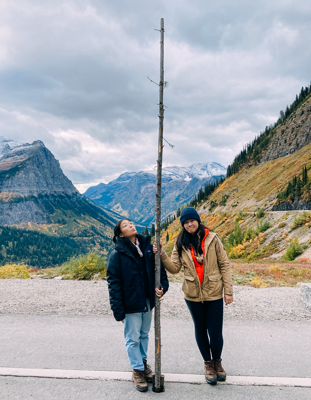
Hopefully, the road will be open for your visit.
Without stopping, it takes about 2 hours to drive the entire road, but it could take a whole day depending on how many stops you make!
Here are our favorite stops:
1. Glacier National Park Sign: Mile 0.5
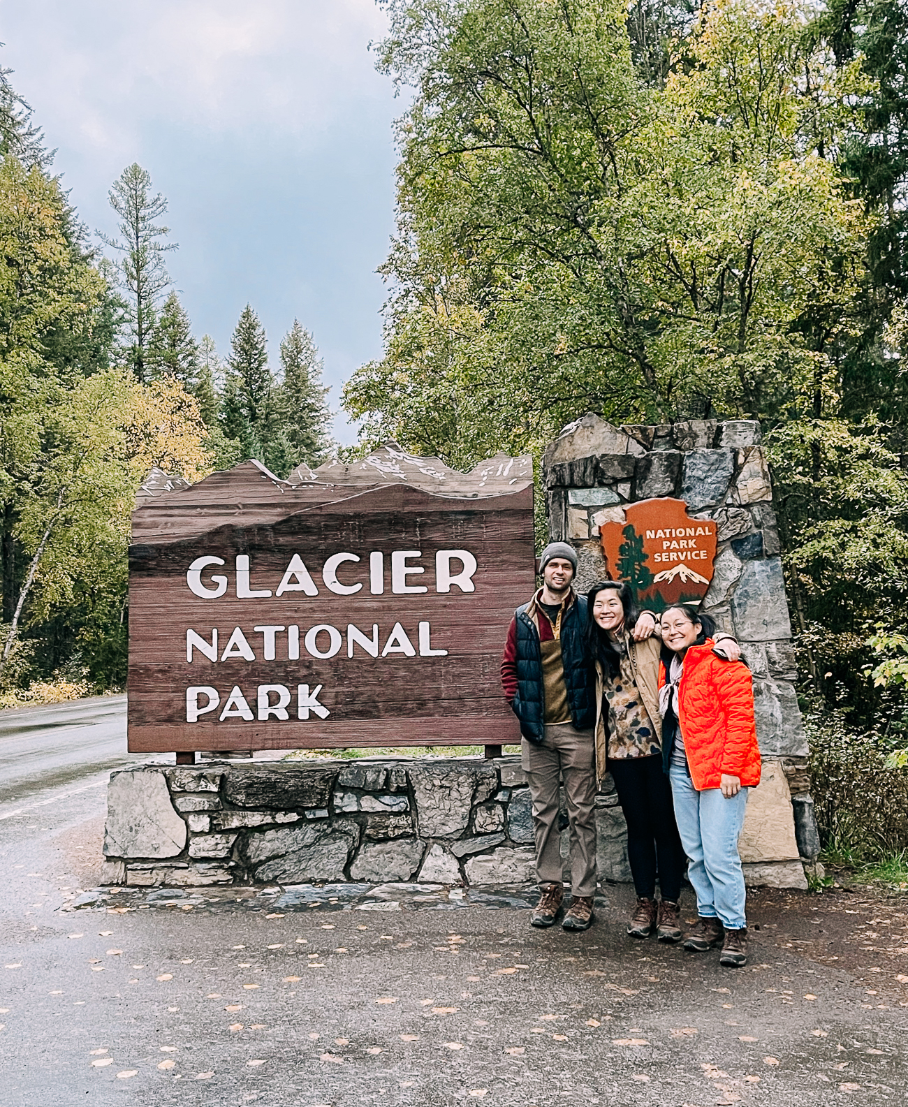
Located just past the bridge over the Middle Fork Flathead River, you’ll find the West Entrance’s Glacier National Park sign, where you can pull off and take that classic National Park sign photo!
2. Apgar Village & Visitor Center: Mile 2
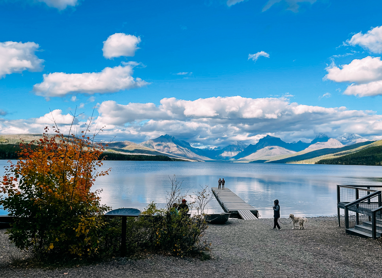
The Apgar Village area is a complex of lodging, campgrounds, gift shops, restaurants, and rental companies/outfitters. A short way away, you’ll also find the Apgar Visitor Center. The village is also right on the tip of Lake McDonald:
3. Lake McDonald Lodge: Mile 11
A historic Swiss-chalet-style lodge on Lake McDonald that you can still visit without being a guest. If it’s open, stop in for lunch at one of its three restaurants, to view the lobby, and to take in lake views.
4. McDonald Falls Overlook: Mile 13
Just past the lodge is a pull-off for McDonald Falls, accessible by a quick walk down a staircase to an observation deck.
5. Sacred Dancing Cascade: Mile 13.5
Another cascade of waterfalls just after McDonald Falls overlook!
6. Avalanche Creek: Mile 17
A popular area that includes a campground, picnic area, and the popular Trail of the Cedars and the Avalanche Lake trail.
7. Redrock: Mile 18
This is a lesser-known area along Going-to-the-Sun Road, but not only are there cascading rapids here, there is an area of calm water where you can picnic and dip your feet in!
8. West Tunnel: Mile 24
This tunnel was completed in 1927. You can park on the side of the road just past it and walk back to look out the windows overlooking Heaven’s Peak.
9. The Loop & Heaven’s Peak: Mile 24.5
One of the original designs for the Going-to-the-Sun Road was cheaper to build, but included more switchbacks (15 of them). (Learn more about the construction of the road in this NPS PDF.)
Today, the Loop is the road’s only switchback, and allows the road to climb more quickly in elevation. This area is apparently the main reason why longer vehicles and RVs are not allowed on the alpine portion of this road.
Here you’ll find a parking lot where you can view Heaven’s Peak, the highest peak in the park.
10. Haystack Falls and Bird Woman Falls: Mile 27
These are the two tallest waterfalls that can be viewed from Going to the Sun Road, and they happen to be right next to each other! You’ll see the most water flowing around early summer, though the falls were still visible when we visited in late September.
11. Logan Pass Viewpoint: Mile 28
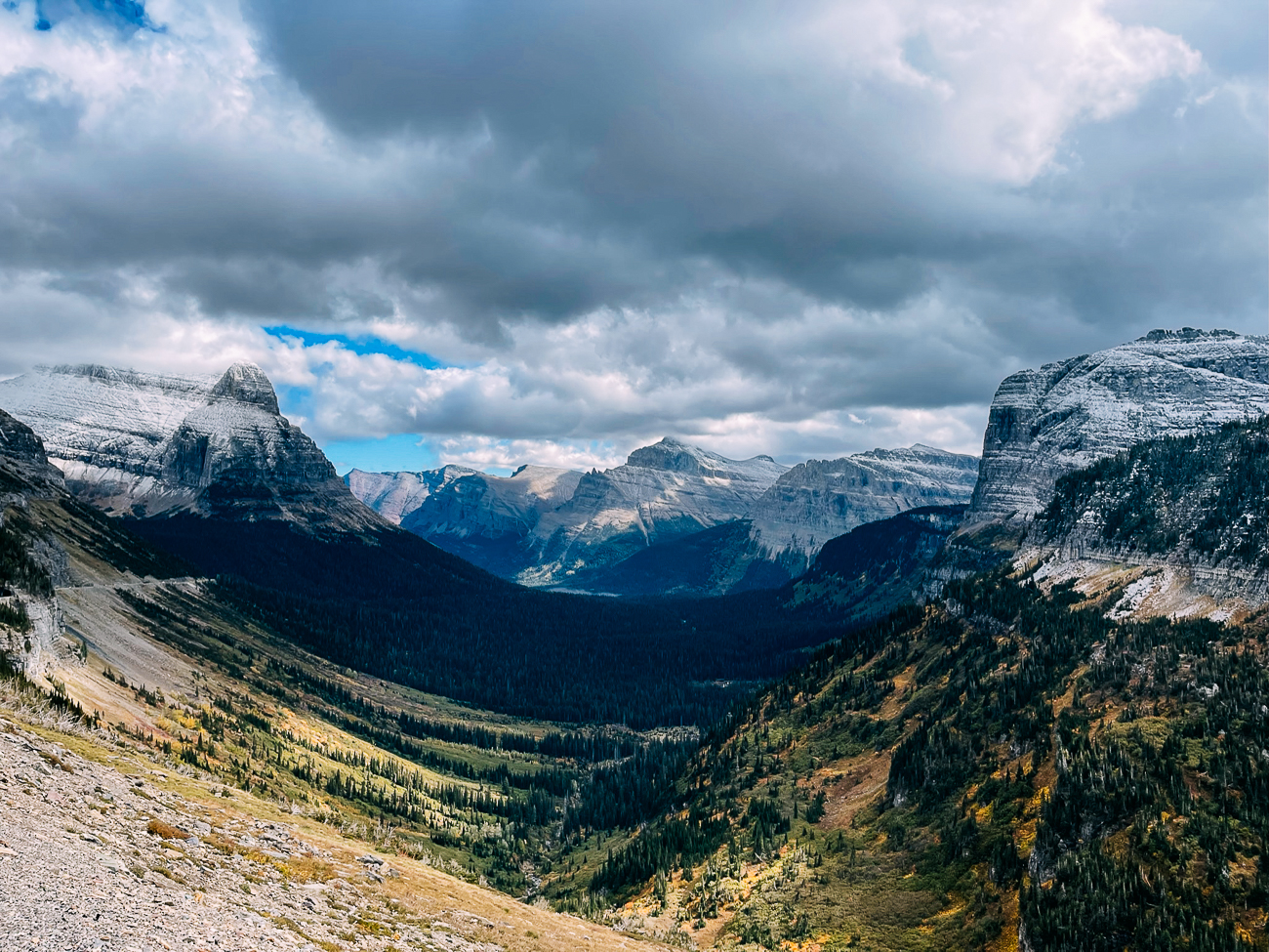
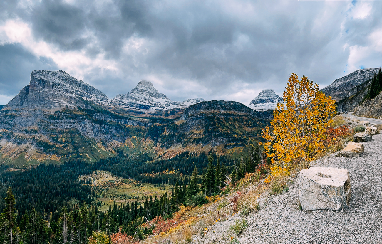
3.5 miles past The Loop is a large pull-off called Logan Pass Viewpoint, where you can stop and admire some of the biggest views of the park’s mountains and valleys.
12. Weeping Wall: Mile 29
Drive past this roadside waterfall that’s most pronounced in early summer. When we drove past, it was more of a seep!
13. Big Bend & A View of the Triple Arches: Mile 29.5
After the Weeping Wall, you’ll see a large pull-off on a big U-shaped turn. This is considered by some to be the best view along the entire road, and a great place to watch the sunset. You can also see the Triple Arches, a bridge built in 1927.
14. Logan Pass Visitor Center: Mile 32
Located at the highest point along the road, Logan Pass Visitor Center is a great stop to talk to a ranger, start a popular hike (Hidden Lake or the Highline Trail), or have a bathroom break, though the parking lot does fill up!
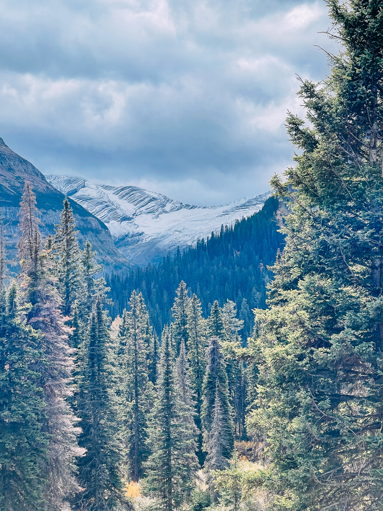
15. Jackson Glacier Overlook: Mile 38
Jackson Glacier is a quick stop. It’s the only glacier visible from the road, and it is indeed magnificent!
16. Sun Point: Mile 40
Here you’ll find a very large parking area with a panoramic view of St. Mary Lake., as well a trailhead to Baring Falls, from which you can also reach St. Mary and Virginia Falls. You’ll also find a picnic area and pit toilets.
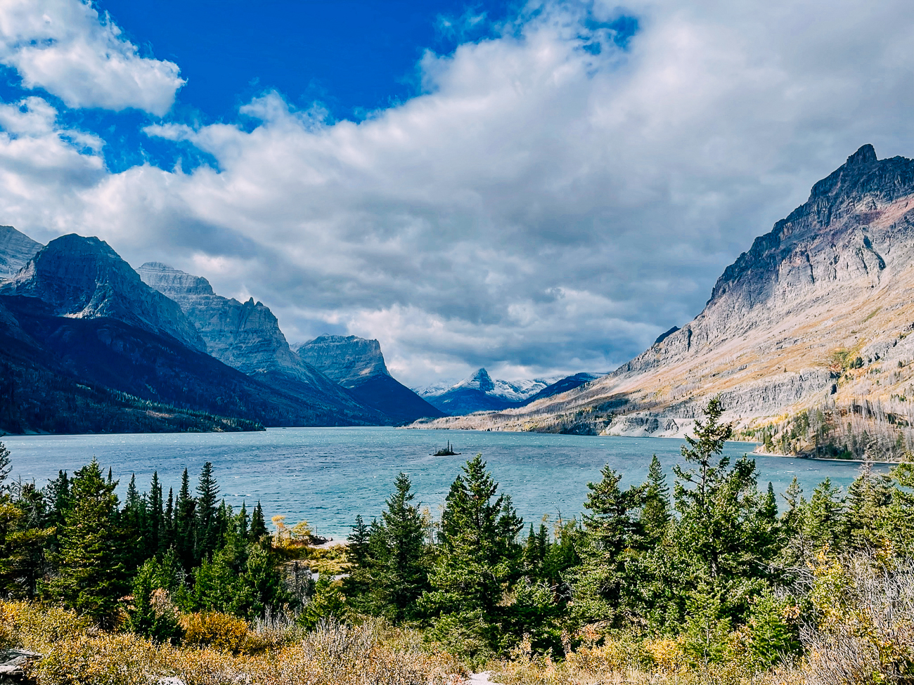
17. Wild Goose Island Overlook: Mile 43
Wild Goose Island Overlook may look familiar—from the opening scene of The Shining. It’s a beautiful view of a tiny island in the middle of the electric blue St. Mary Lake, surrounded by towering peaks. Definitely worth stopping to admire!
18. St. Mary Visitor Center
At the eastern end of Going-to-the-Sun Road, you’ll find the Eastern entrance and St. Mary Visitor Center, plus some beautiful mountain and prairie views.
Top Day Hikes In Glacier National Park
Most national parks seem to have passionate people who create websites with detailed hiking guides, and Glacier is no exception. I found a couple sites to be incredibly helpful in planning my trip.
The first is a site called hikinginglacier.com, which includes everything I like to see: total roundtrip length, elevation gain, directions to trailheads, and detailed descriptions of what to expect! The site has a helpful list of Glacier NP hikes ranked by difficulty.
The second is a site called hike734.com, which was written by a guy who hiked all 734 miles of trail in Glacier National Park…in ONE SEASON. Having seen it all, he has a ranking of the best bang for your buck hikes in the park. Check out his ranking here!

Judging from our experiences and the information on those sites, here are some of the top hikes in the park:
- Pitamakan Pass/Dawson Pass Loop (18 miles): Described by Hike734 as his favorite hike, it was definitely our favorite hike on the trip too, though we were unable to do the whole loop. Not for the faint of heart though! Bring trekking poles, plenty of food and water, sunscreen, and a windbreaker!
- Grinnell Glacier (7.6 miles with boat ride): A beautiful hike past mountains, lakes, and wildflowers to view one of the park’s glaciers up close.
- The Highline Trail (11.8 miles): A one-way hike along the Continental Divide beginning at Logan Pass. Shuttle service must be available to get you back to your car. It’s one of the most popular hikes in the park, though a ranger we talked to said the view doesn’t change a whole lot on this hike, and that many of the views are similar to what you can see from the road.
- Iceberg Lake (9.7 miles): A hike to an iceberg-filled alpine lake in the Many Glacier area.
- Hidden Lake Overlook (2.7 miles): Hike uphill through the wildflower-filled Hanging Gardens to view a panorama of Hidden Lake, overshadowed by Bearhat Mountain.
While we were there, we also hiked:
- Trail of the Cedars (0.9 mile): A short wheelchair accessible loop trail on raised boardwalks through an old forest with interpretive nature signs.
- Avalanche Lake (4.5 miles): A hike past Avalanche Creek to a tranquil lake with waterfalls. Connects to the Trail of the Cedars loop.
- St. Mary Falls/Virginia Falls (3.6 miles): A popular hike to two waterfalls located between Logan Pass Visitor Center and the St. Mary Entrance Station.
- Baring Falls (0.8 mile): A short hike from Sun Point along St. Mary Lake to a small picturesque waterfall.
Other Activities In or Near Glacier
We haven’t done all of these activities, but here are some popular options if you’re looking for more to do in or near the park:
- Red Bus Tours: Not just a transportation option in the park, but also a tour experience in some of the oldest touring vehicles in the world, with information about the park and its history. Note that you’ll be in very close quarters with this tour!
- Horseback Riding: Swan Mountain Outfitters operates horseback rides in Glacier National Park as well as combination saddle/paddle tour options.
- Boat Tours & Rentals: Glacier Park Boat Company operates boat tours at Many Glacier, St. Mary Lake, Lake McDonald, and Two Medicine. They also offer rentals (canoes, paddleboards, kayaks) at several locations during the summer.
- Rafting: Several companies, such as Glacier Raft Company, Glacier Guides & Montana Raft, Wild River Adventures, and Great Northern Whitewater Rafting offer scenic float tours and white water rafting trips in the area.
- Conrad Mansion & Museum: A great activity for a rainy day or a rest day, you can visit this 125-year-old mansion and take a tour to learn about the founder of Kalispell.
- Downtown Whitefish: Spend an afternoon perusing small independent shops and restaurants.
- Whitefish City Beach: In warmer weather, head to this sandy beach located on Whitefish Lake, which allows swimming and picnicking, as well as kayak and paddleboard rentals.
- Get a Massage: We highly recommend Natural Elements Massage & Spa in Whitefish, especially if you need help recovering after a few long days of hiking!
- Canada and Waterton Lakes National Park: You could also head north to visit the Canadian side of the International Peace Park, but make sure to check border regulations!
Where to Stay in Glacier National Park
There are a surprising number of options for places to stay in or near Glacier National Park, nearly all of which are available from July to early September. These include full-service hotels and backcountry lodging within the park, campgrounds, and lodging just outside the park.
However, if you plan to visit in earlier or later in the year, your options do dwindle a bit.
We’ve included the 2021 season dates (and 2022 dates if available) for all the campgrounds and lodging below, so you can get an idea of when they’re open.
Camping within Glacier National Park
There are 13 campgrounds within Glacier National Park, as well as backcountry campgrounds that can be reached by trail. Most campgrounds are first-come, first-served, while three of them are reservable 6 months in advance.
Most campgrounds are open for the summer season and close in late summer/early fall. Some, like Two Medicine Campground, convert to primitive campsites (no flush toilets/running water) in the fall.
Here are several of the most popular campgrounds in Glacier:
- Apgar Campground: The largest campground in the park, located less than 3 miles from the West Entrance, and near the restaurants, boat rentals, and shops of Apgar Village. First-come, first served (except for group sites, which can be reserved in advance). Camping is available from late April/early May to early October. Primitive camping is available on shoulder seasons (April/October).
- Many Glacier Campground: Close to many of the iconic hikes in the park, including Grinnell Glacier and Iceberg Lake, making it one of the most popular campgrounds in the park. Was open 6/11-9/12 in the 2021 season. Reservable 6 months in advance at Recreation.gov.
- St. Mary Campground: The largest campground on the east side of the park, near the town of St. Mary. Open year-round. Reservable 6 months in advance on Recreation.gov.
- Fish Creek Campground: Second largest campground in the park, located about 2.5 miles from Apgar Village. Showers available in Loop A. Generally open from late May to Early September. Reservable 6 months in advance on Recreation.gov.
Check out the Glacier National Park NPS website for more information on camping in the park.
Lodging within Glacier National Park
If camping isn’t your thing and hotels are more your speed, the park has many lodging options within its boundaries. There are even two backcountry chalets reachable by hike!
- Village Inn at Apgar: A motel-like inn built in 1956 on Lake McDonald with standard and full-kitchen rooms near the West Entrance. Easy access to food and shopping in Apgar Village. 2021 season was 5/19-9/27.
- Lake McDonald Lodge: A historic Swiss chalet built on Lake McDonald in 1913 with 82 guest rooms, cabins, and four restaurants. 2021 season was 5/14-9/22.
- Rising Sun Motor Inn & Cabins: Rustic lodging built in 1940 including cabins and motel rooms, as well as a full-service restaurant. Located near St. Mary Lake, 12 miles from Logan Pass. 2021 season was 6/11-9/8.
- Many Glacier Hotel: The largest hotel in the park, also built in the Swiss style in 1915, with incredible views of Swiftcurrent Lake and surrounding peaks. Also home to the Ptarmigan Dining Room restaurant. 2021 Season was 6/4-9/14.
- Swiftcurrent Motor Inn & Cabins: 95 rustic cabin and motel rooms with camp store, gift shop, and access to Iceberg Lake, Ptarmigan Lake, and Ptarmigan Tunnel trailheads. Some cabins have shared bathrooms, while some are private. 2021 season was 6/8-9/12.
- Sperry Chalet: Backcountry lodging reachable by trail (6.7 miles via the Sperry Trail from Lake McDonald Lodge or 13.5 miles via Gunsight Pass). Includes bedding & restaurant meals. Pit toilets, no hot water or showers. 2021 season was 7/11-9/12.
- Granite Park Chalet: More rustic backcountry lodging reachable by trail (7.6 miles from the start of the Highline Trail, one of the most popular hikes in the park, or 4 miles via the Loop Trail. Note that trails may be closed due to weather). Guests cook their own meals and usually bring their own sleeping bags, with linen service optional. 2021 season was 6/28-9/12.
Because we came to the park in late September, many of these lodging options were closed by the time we arrived.
We ended up staying at Cedar Creek Lodge in Columbia Falls, MT, about 18 miles from West Glacier and the entrance to the park. While outside the park, it is part of the Glacier National Park Lodges system.
lodging options outside the park include:
Generally, lodging options outside the park have longer seasons. Outside the park, we’ve included mostly lodging options near the West Entrance, due to its proximity to Glacier Park International Airport in Kalispell, and other towns like Whitefish and Columbia Falls.
However, you may also opt to stay on the East side of the park in St. Mary, MT, where you’ll be a bit closer to Logan Pass and Many Glacier (about 35 minutes, rather than 1 hour from West Glacier or 1 hour and 20 minutes from Columbia Falls).
- Cedar Creek Lodge: Lodge and conference center open year-round, 18 miles/20-25 minutes from the West Entrance. (This is where we stayed!)
- Glacier Under Canvas: Glamping less than 10 minutes from the West Entrance to the park. We’ve never stayed here, but we know someone who has and enjoyed their experience! (2022 dates: 6/9-9/12)
- Belton Chalet: A historic railway hotel 15 minutes from the West Entrance, including a very good restaurant on the premises. (2022 dates: 5/13-10/16)
- Glaciers Mountain Resort: 6 miles from the West Entrance, with 5 cabins that sleep 4 and 1 cabin that sleeps 8. Cabins include private kitchens, bathrooms, decks, TV, and WiFi. Ideal for families. (Contact them for dates!)
- The Cottages at Glacier: 5 minutes from the St. Mary Visitor Center on the East side of the park. Better location for accessing Logan Pass/Many Glacier. Cabins with 2-3 bedrooms, great views, full kitchens, fireplaces, decks, grills, TV, and WiFi. Ideal for families. (2022 dates: 5/15-9/30)
These were just a few of the options we found. There’s more lodging outside the park, so be sure to do your research!
Places to Eat Near Glacier National Park
We didn’t hit all of these spots, but they’re collected from friends’ recommendations, as well as online reviews!
West Glacier, MT
- Wandering Gringo: Food truck serving huge burritos at a modest price, along with tacos and quesadillas.
- Belton Chalet: Higher end restaurant within a historic railway hotel.
- Sunflower Cafe & BBQ: Casual, unique open air restaurant with picnic tables and counter service. Also open for breakfast.
Coram, MT/Hungry Horse, MT
- Josephine’s Speakeasy: Craft cocktails, beers, wines, and a limited small plates menu.
- Dan d’lion Restaurant: Creative vegan and gluten-free options.
Columbia Falls, MT
- Gunsight Saloon: Stick-to-your-ribs bar food.
- North Fork Pizza: Pies, slices, sandwiches, salads, and pasta. GF pizza available.
- Laurie’s Deli: Sandwiches for the trail or a quick lunch.
- Montana Coffee Traders: The local area’s coffee of choice, plus baked goods and hot breakfast items.
- Uptown Hearth: Baked goods and coffee.
- Perfect Cuts: Specialty meat shop for finding special ingredients to cook your own meals.
- Backslope Brewing: Taproom and kitchen featuring salads, soups, sandwiches, burgers, bowls, and small plates.
Kalispell, MT
- Pho Ly: Casual Vietnamese spot with pho, rice plates, and rice noodle bowls.
- Bonelli’s Bistro: Italian cafe with coffee, baked goods, sandwiches, salads, soups and a small selection of pastas.
- Sacred Waters Brewing Company: Craft brewery with casual menu of sandwiches, rice bowls, soups, and salads.
Whitefish, MT
- Loula’s Cafe: Breakfast and lunch with locally sourced ingredients, along with a variety of pies.
- The Farmhouse Inn & Kitchen: Bed and Breakfast with cafe and bakery serving breakfast and lunch.
- Last Chair Kitchen & Bar: Locally sourced eclectic menu.
- Central Ave Bakery & Deli: Fresh baked goods made daily with gluten-free, vegetarian options for both breakfast and lunch.
- Tupelo Grille: Southern cuisine (same owners as Gunsight Saloon).
- Jersey Boys Pizzeria: Classic pizza, slices, and sandwiches.
If you couldn’t tell from our travel section as a whole, we love national parks!
I’m already thinking about when to go back to Glacier to finish the Dawson Pass part of that loop, and to visit Many Glacier.
We hope this post brought some enjoyment to your day, or some informative tips to help you with your own trip. Let’s recreate responsibly, as the NPS says, and protect our natural world!
Happy Adventuring!
