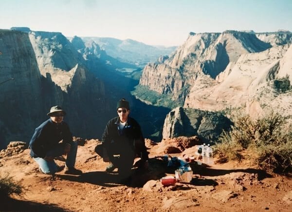
Remember me telling you in the first post of the Utah series that my dad went on a camping trip with a friend to Bryce Canyon 15 years ago?
Well they also went to Zion National Park.
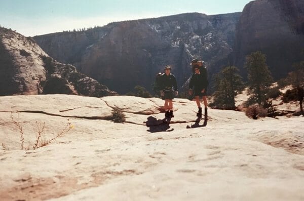
Look, here are some pre-filter, pre-social media, pre-blog pictures taken with a tiny camera most likely set on a rock/log/tree stump:
My dad’s the one on the left in both of ’em (in case you couldn’t already tell).
I remember paging through those photos in our family albums over the years, and seeing Zion in bits and pieces––from the shots my dad captured on what he described to me as, “this crappy, tiny plastic camera. Remember the days when we took pictures on film?”
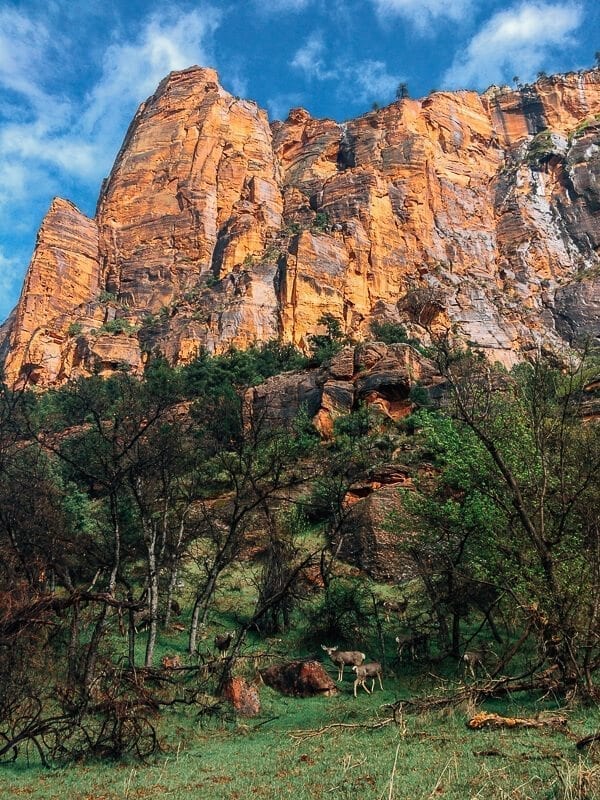
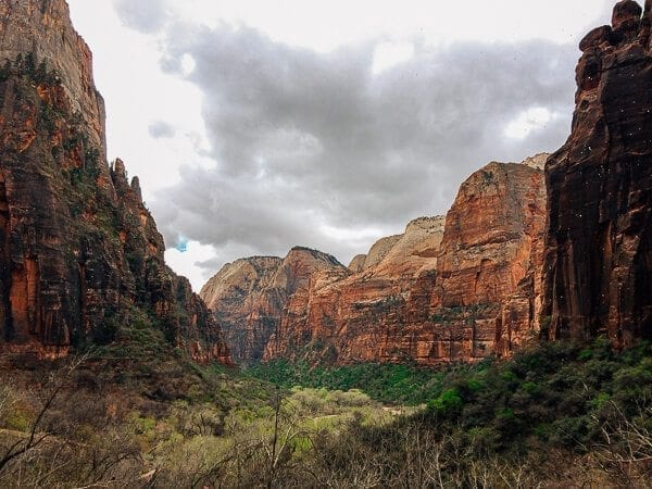
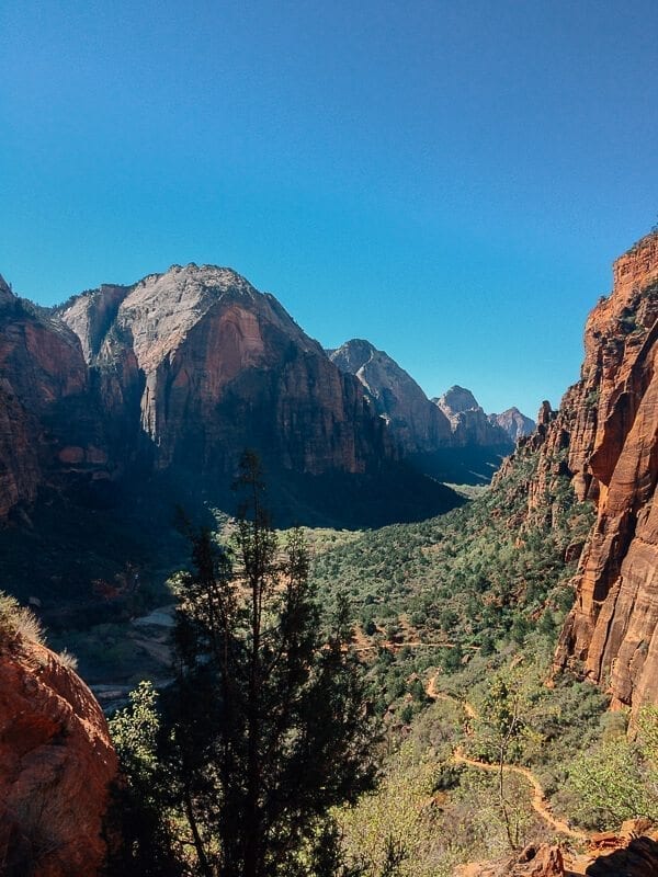
Of course, seeing the park in real life, there was no comparison. Dinky camera or not, nothing beats seeing it up close and personal. The sweeping canyon views, the green trees, pink, orange, and white mesas, and the RAIN (I’ll get to that in a second) all exceeded my expectations.
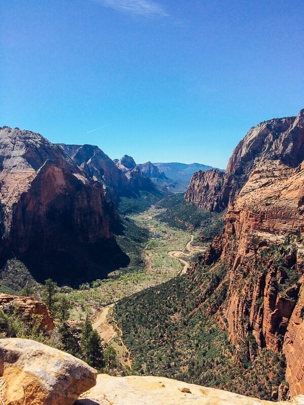
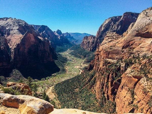
But when we got back, and my mom brought over this old photo album to show us, I began to recognize the place we’d just been in my dad’s old pictures––Angel’s Landing, the same views of Zion Canyon, and the chipmunks that we saw scurrying across the rocks.
My dad backpacked through the park in the 90s, camping up at Observation Point with a backcountry permit. Here in 2017, my sister and I took the car camping approach in Zion’s Watchman Campground. Which is a good thing, too. Because the weather wasn’t always on our side.
Which brings me to the rain. And the hail. And Lesson #1.
Lesson #1: How to Grill Ribeye During a Hailstorm
As we drove out of Capitol Reef toward Zion National Park on Wednesday morning, there were some intermittent 3G signals that allowed us to check out what the weather was going to be like at our destination. To our dismay, it would be raining for 2 out of the 3 days we’d be there. But optimism prevailed–we’re capable, hearty people who can handle a little bit of dampness!
It was a long drive, and as we got closer to Zion, it got darker and cloudier. We arrived around 3:00 in the afternoon, driving in through the East Entrance of the park, past Checkerboard Mesa and slickrock formations, and through the mile-long Zion-Mt. Carmel Tunnel, which had been blasted into the rock in the late 1920s. The tunnel had no lights in it, save a few large “windows” that had been cut out of the sides of it, providing a glimpse of the canyon.
At the park entrance, we were struck by the sheer number of people visiting the park. We also had to silence the inner nervous Nancy’s who were noticing just how many people were *leaving* the park–perhaps on account of rain?
But there was indeed a long line of cars waiting to get into the park, and we later discovered a packed visitor center parking lot.
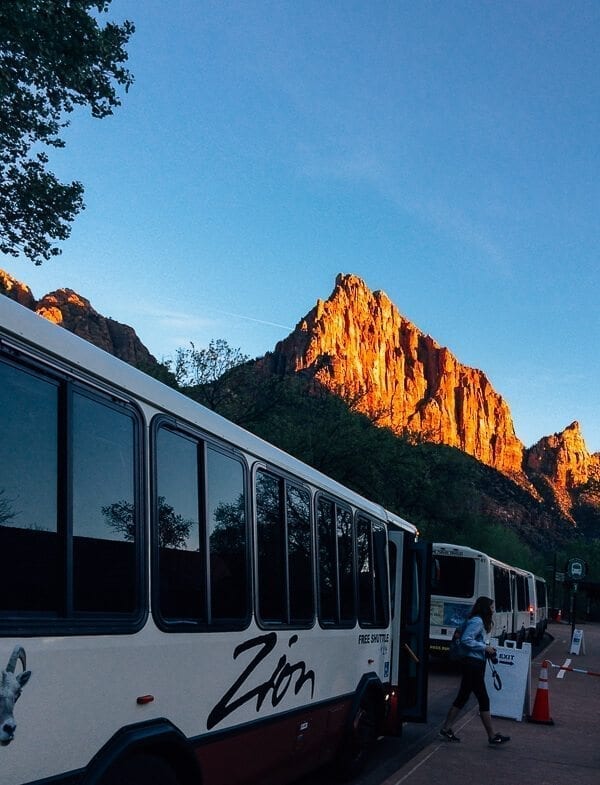
This wasn’t Capitol Reef in the middle of nowhere. There was a SHUTTLE BUS SYSTEM.
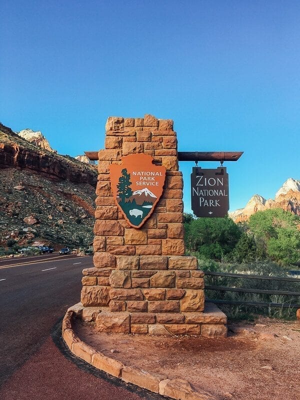
(Full disclosure: that’s actually a picture of the Zion National Park sign at the South Entrance. Because we forgot to take a picture at the East Entrance. Derp.)
With rain on the mind, though, we drove straight to the campground to pitch the tent while it was still dry.
Which turned out to be a VERY GOOD decision, because just a couple hours later, after we’d explored the visitor center, wandered into Springdale, and made our way back to the campsite, the sky looked like this, and thunder was rumbling.
Having skipped lunch, we were hungry. Hangry, you could say. And believe you me, when Kaitlin and I are hangry––and in the same vicinity––it’s not pretty.
Of course, our irritated, hungry minds wandered to the vacuum-packed ribeye in the cooler, and by George, we were going to eat it.
With thunder rumbling in the not-too-far distance, we both scrambled for tinder and wood, and in a race against the rain, Kaitlin rushed to get a fire going.
We threw more logs onto the fire than we normally would have for one meal, to hopefully sustain it even if it started to drizzle. (For those of you wondering why we didn’t just cook on a camp stove, the fuel pump on our MSR fuel bottle BROKE while we were in Capitol Reef–it was over 20 years old at that point–and when we tried to buy a new one in Springdale, all the stores were closed due to a power outage. OOF.)
And then it started to hail.
SERIOUS hail.
Like, hail the size of macadamia nuts. MACADAMIA NUTS!
(I have a great Snapchat of us watching the fire as the hailstorm started positively roaring, and Kaitlin going, “AGHHH. They’re hitting me!”)
It was slow at first, but within 30 seconds, it was just this monsoon of hail. I’ve never seen anything like it. We had to run and take shelter in the car, and I seriously wondered whether those little perfectly formed spheres of ice would crack the windshield.
Of course, as the hail started to let up, my sister ran out with more logs in an attempt to resuscitate our fire, which was now black, soggy, and steaming as nuggets of hail hit the hot coals. Right about now is when normal people would have wondered why the heck they should even bother and, trust me, the thought crossed my mind. But, again, the power had gone out in the park and in the surrounding town of Springdale, which meant that pretty much every restaurant and store had closed their doors.
We were cooking that ribeye, come hail or high water.
(If you didn’t enjoy that I’m not sure what you’re doing here.)
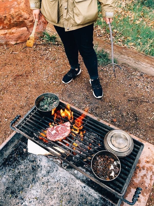
The hail finally stopped, and there was a calm window of probably no more than 25 minutes, when we were able to set this up:
(Note my sister with spatula in one hand and stick in the other. NATURE! CAMPING! Never mind the fact that we were eating a cushy and extravagant steak dinner.)
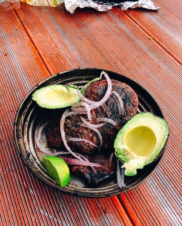
We grilled our steak to medium rare, cooked a batch of caramelized mushrooms, heated up some leftover rice, beans, and kale, sliced an avocado and some red onion, and sat down to eat. We don’t play around when it comes to steak.
And then the torrential downpour started. At which point we shoved all our stuff in the car, got into the tent, and didn’t come out until the next morning.
The next day’s forecast was more rain, so we decided to do some of Zion National Park’s easier, more leisurely trails, like Riverside Walk. But there were some moments of respite when a small pocket of blue sky would peek through the clouds.
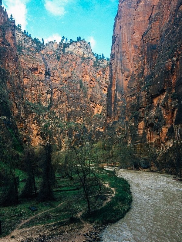
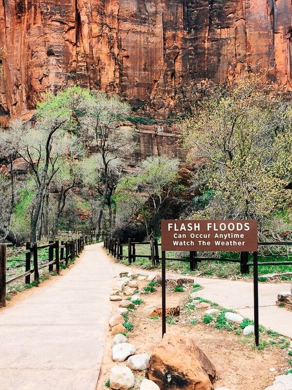
Zion’s famous Narrows (a slot canyon hike through the Virgin River), at the end of Riverside Walk, were closed. The river was flowing, as one shuttle bus driver put it, “more than five times where it’s at in the summer” due to snowmelt––not to mention the rain. So, alas, the Narrows were too dangerous to hike. Luckily, we’d taken advantage of the chance to see the narrows back at Willis Creek.
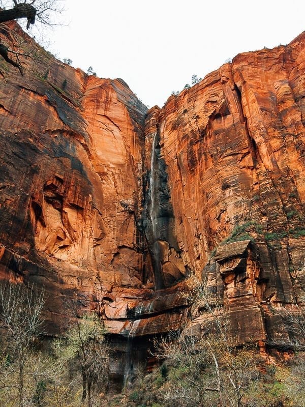
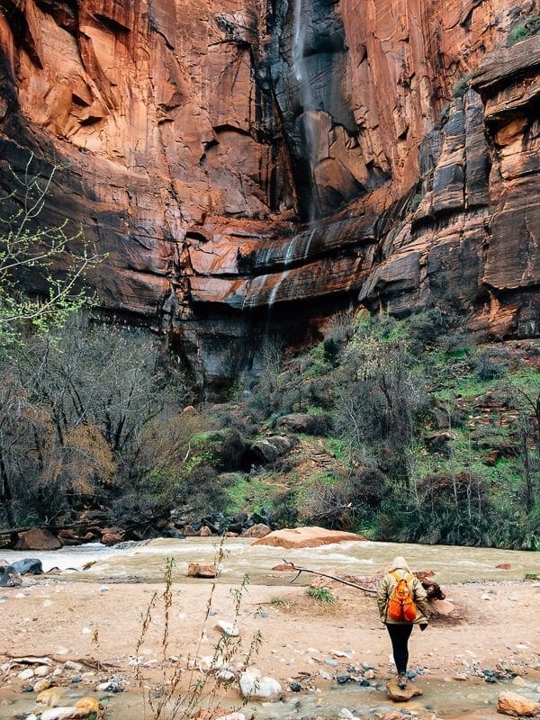
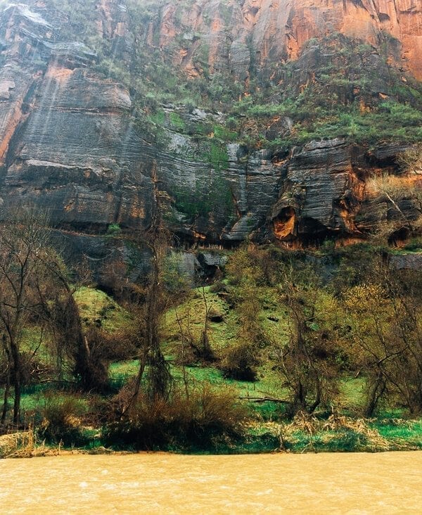
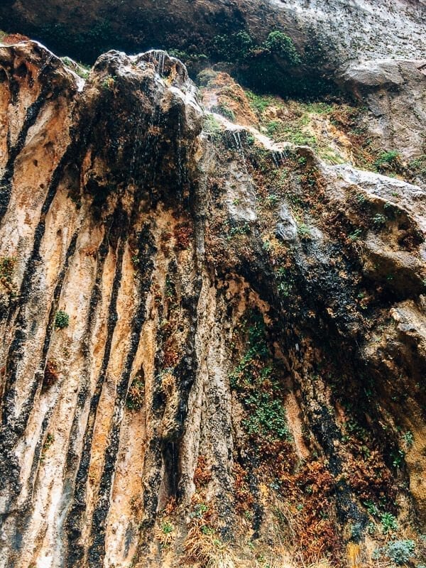
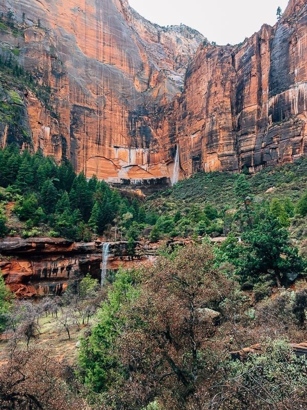
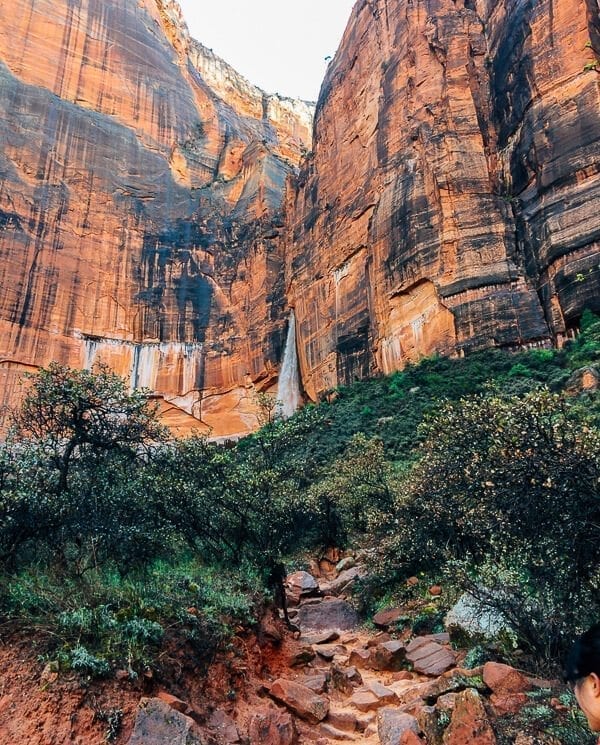
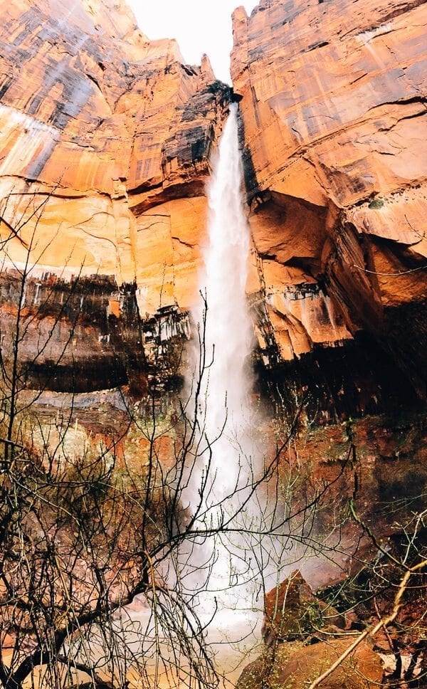
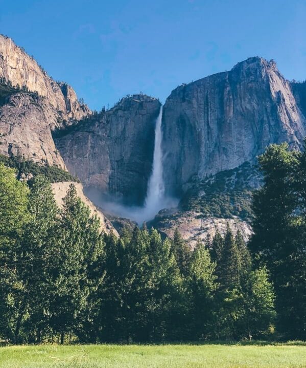
But the flip side of trail closures was that the park’s waterfalls were out in full force:
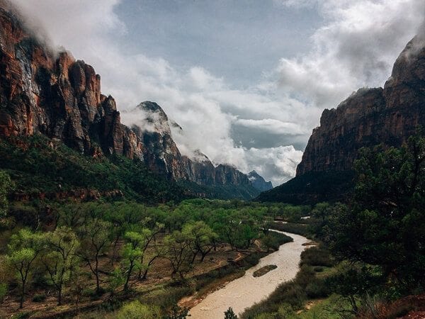
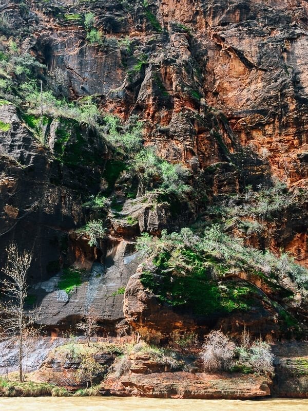
And there was a lot more green against the red rock than one would expect.
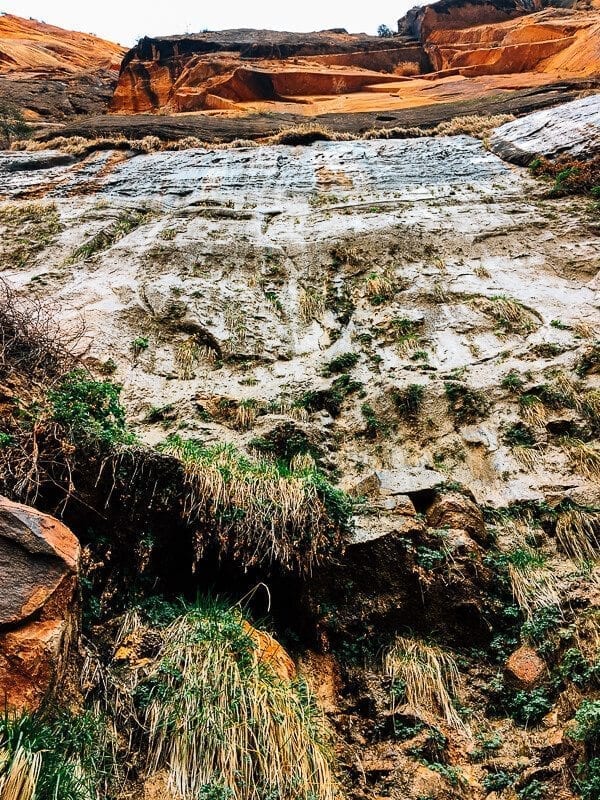
There were even hanging gardens of grasses and moss growing out of the rock itself.
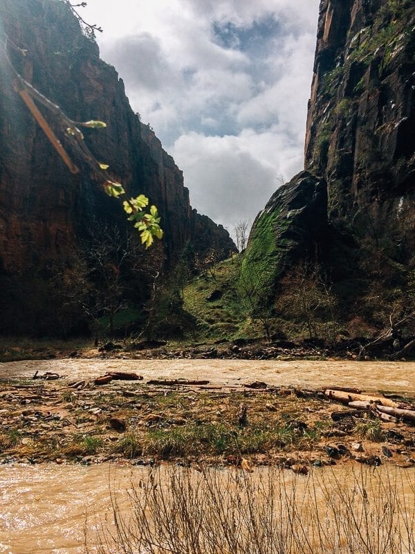
And the river was flowing by quickly, murky brown with sediment.
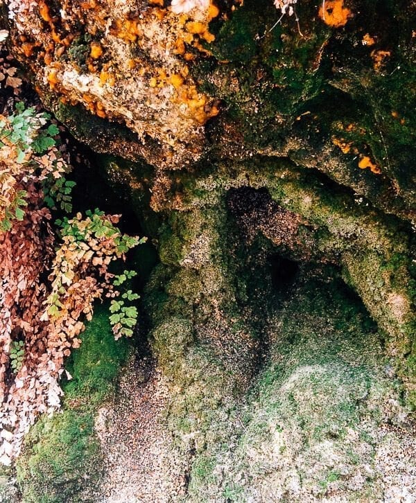
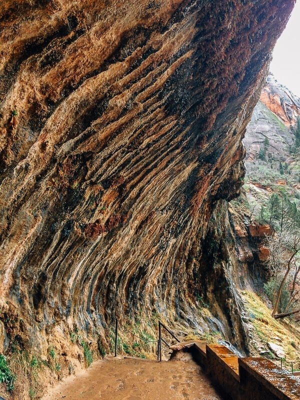
Our next stop was Weeping Rock, an alcove with water seeping and dripping right out of the sandstone, feeding a wall of plant life.
…Where we got this view:
Next on our list was the Upper Emerald Pools hike. Lower Emerald Pools was closed due to a rock slide, so we were able to access the Upper part of the trail via the Kayenta Trail, which was slick with mud from all the rain.
We had to stop every few feet to scrape the mud from our boots and try to regain some semblance of traction against the slippery ground. We did see one poor soul hiking down the trail in a pair of very expensive-looking leather loafers. He didn’t look happy. But then again, who wears leather loafers on a hiking trip?
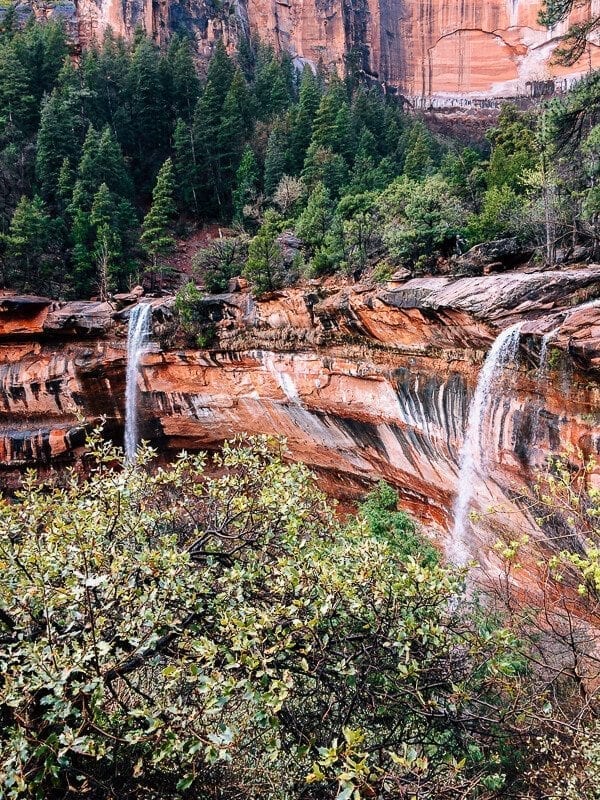
In the end, the shaky, slippery walk was well worth it!
There were two waterfalls here when we went up the trail, but by the time we came back down, there were three.
And the rain finally let up!
The next day, the rain finally broke, and it was a sunny, clear-skied day. In other words, it was the perfect day to do the most notorious famous hike in Zion National Park, Angel’s Landing.
Lesson #2: How to Avoid Falling Off a Cliff
If you’ve never heard of Angel’s Landing, it’s a 2.5 mile uphill hike to the top of a fin-like mountain formation that sticks out of the main canyon and gives you a panoramic view.
With 1500 feet of elevation gain, it’s a relatively strenuous hike, but that’s not what makes it famous.
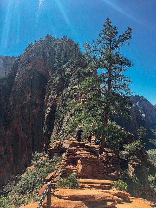
What makes it famous, is this:
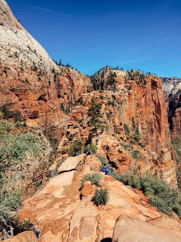
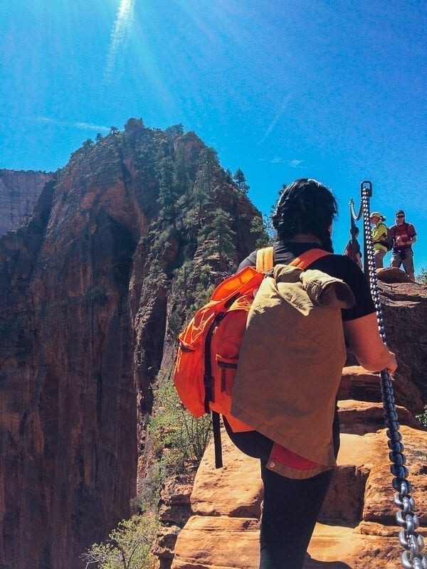
Yeah, so that “fin-like mountain formation” I mentioned? Not hyperbole. It’s NARROW. As in, just two feet across at some parts. And below that is literally nothing but a thousand feet of AIR on both sides.
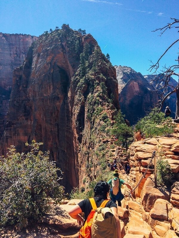
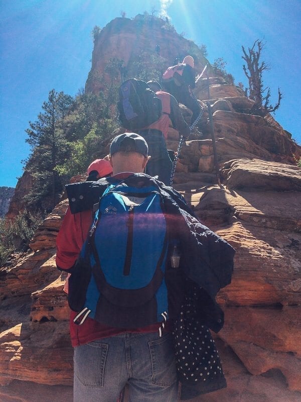
Note the posts with heavy-duty chains that you can hold onto along much of the ascent and descent. They’re there for safety, i.e to literally prevent you from tumbling to your death. In some cases, you could walk without holding on relatively easily (though we did hold on, believe me). But in other parts, we found that those chains were completely necessary, especially when you needed to pull yourself up on the rockier parts of the trail or when you needed to hang off them to sort of rappel down steep areas on the way back.
It didn’t help that there were a surprising number of little kids scrambling on the rocks like billy goats, not holding onto the chains and generally giving us a near heart attack every five minutes.
But with the spectacular view that you’re rewarded with at the end, Angel’s Landing is a bucket list hike for families, teens, retirees, and adrenaline junkies alike; and it was our first order of business that Friday morning.
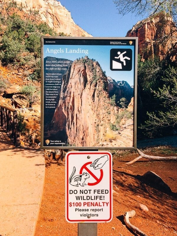
When we arrived at the trailhead around 10:30 AM, we were greeted with this happy sign:
A casual warning that sent a clear message: DEAR GOD, DON’T DIE, in addition to the positively ubiquitous exhortations of, DEAR GOD, DON’T FEED THE WILDLIFE. (Pictures of mangled hands and quotes about squirrels taking less than a second to lunge were plastered all over the shuttles and the park newspaper.)
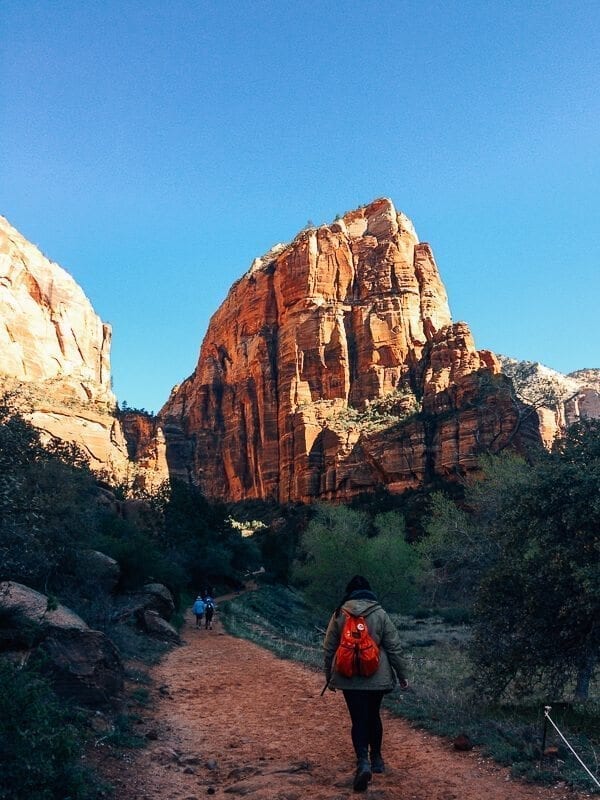
We headed up the path, which was a pretty harmless part of Zion’s West Rim trail up to Scout Lookout, where the harrowing half-mile was to begin.
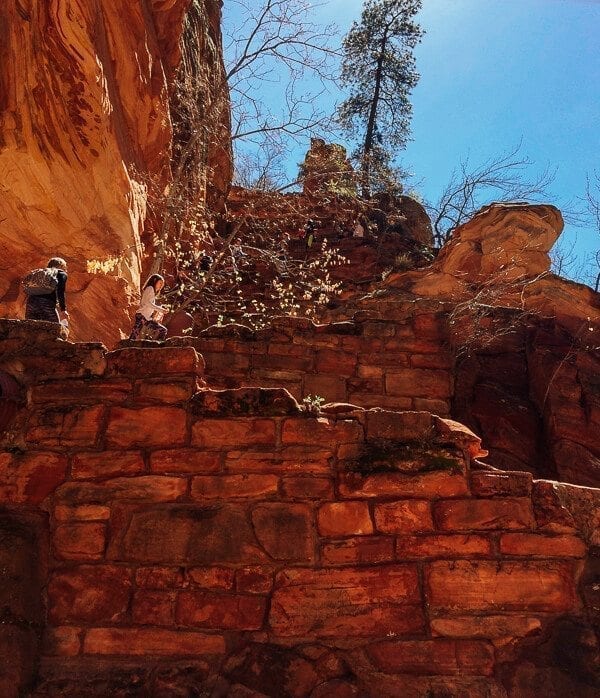
It was a lot of steep uphill walking, including a set of 27 steep switchbacks, nicknamed Walter’s Wiggles. The morning started off chilly, but it didn’t take long for the effects of the hike and the sun creeping up the canyon to take effect.
Of course, we weren’t the only ones looking to check Angel’s Landing off our mental bucket lists that day––there were a ton of other people on the trail, from young kids to older hikers in their 60s and 70s. CHAMPIONS, all.
So when we began our last half-mile up to the summit, we did so alongside Chinese tourists, family groups, and spring breakers. Which––when you’re climbing a narrow, rocky ridge with thousand foot cliffs on either side of you and people looking to climb down as you’re going up––only added to the struggle.
But we pushed on, holding tight onto those chains.
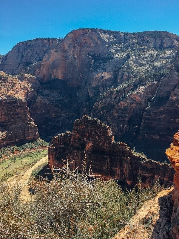
Along the way, we did get a really awesome view of Big Bend, below. We saw an enormous turkey vulture or condor (let’s call it a condor, because that sounds way more exciting) flying below us. I didn’t catch a photo of it, because I was gripping those chains for dear life.
You can actually sort of make out the Zion National Park shuttles in the photo below, driving along the road looking like matchsticks.
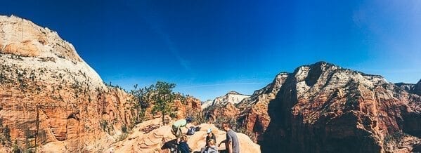
The view, of course, was totally worth it. And the heebie jeebies that came with it made it feel all the cooler.
So…moral of the story: don’t sleep in and spend an hour cooking eggs, toast, and sausage on the morning you plan to hike Angel’s Landing. Just grab a bag of trail mix, and get there earlier than 10:30. Way earlier.
Real moral of the story: be better than us.
Phew, that was harrowing.
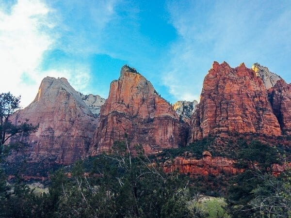
Later that day, we took it easy, hanging out at Zion Lodge (get the prickly pear licorice that looks like Twizzlers) and stopping by the Courtyard of the Patriarchs to snap a few photos. That’s these three stately peaks:
We also checked out the Zion Museum, caught the tail-end of a ranger talk, and watched the video that they’ve clearly been showing there since 1997 (still good!).
Lesson #3: How to Get the Perfect Sunset Picture
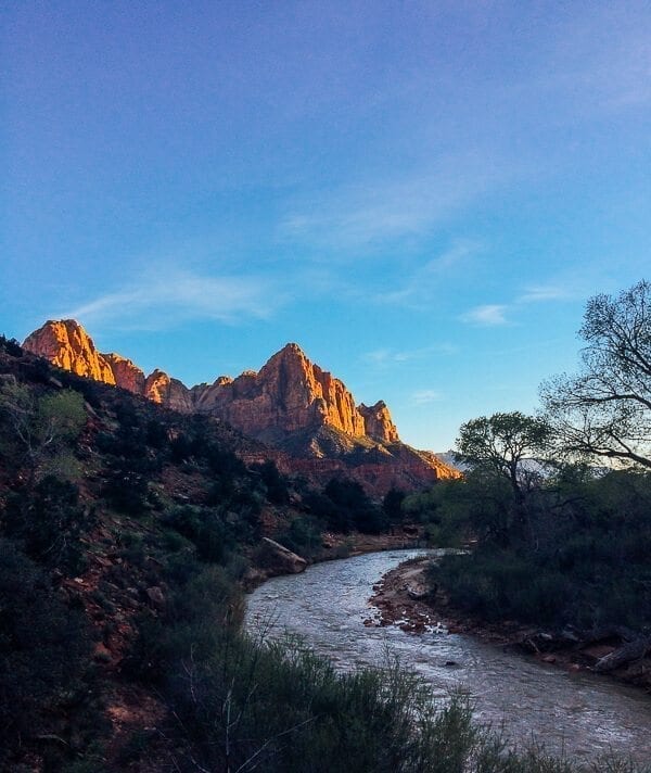
Around sunset, it can be tempting to just head back to camp, kick your boots off of your tired feet, and slug it up in front of the campfire, especially when the sun is setting around 7:30. But it can be one of the best times to go for a walk. The Pa’rus trail was the perfect kind of “hike” for that time of day––more of a leisurely stroll than anything else. It’s a pretty level walkway from Canyon Junction back to the Visitor’s Center, and the sun was hitting the rocks just right.
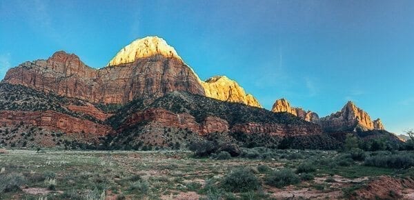
By the time we got back to the visitor center, “The Watchman,” i.e. what I’m pretty sure is the peak in the photo below, was glowing bright orange, and we headed back to camp.
We left Zion National Park happy to have been able to see some different faces of the park––from rain and mist, to hail, to a sunny clear day, to a fast-flowing Virgin River, muddy trails, and more waterfalls than we’d ever expected to see. And, of course, happy to not be a cautionary tale for future Angel’s Landing hikers.
We headed out on Saturday morning, bound for Las Vegas and the airport. We stuffed our damp tent into the car, not really bothering to pack it up, figuring that we’d dry it out some place warmer in Nevada.
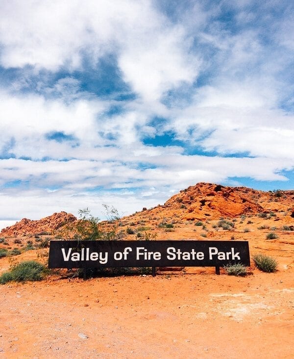
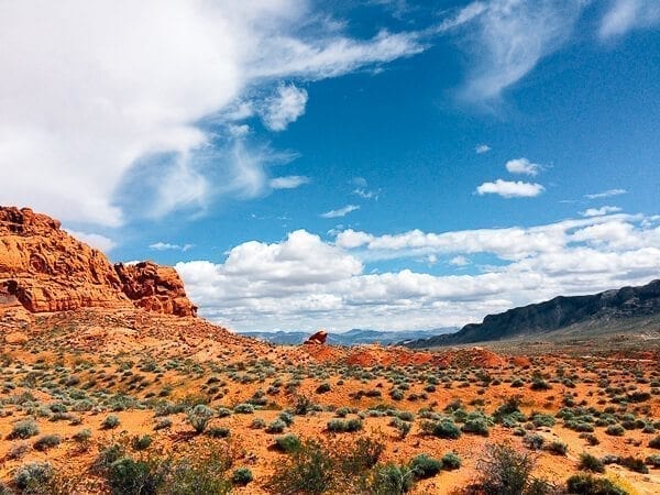
Which is exactly what we did, at the very aptly named, Valley of Fire State Park.
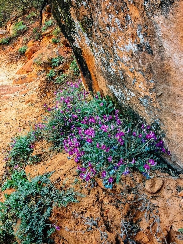
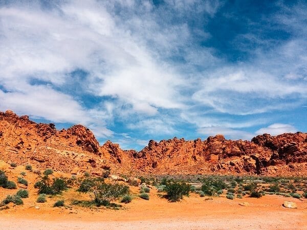
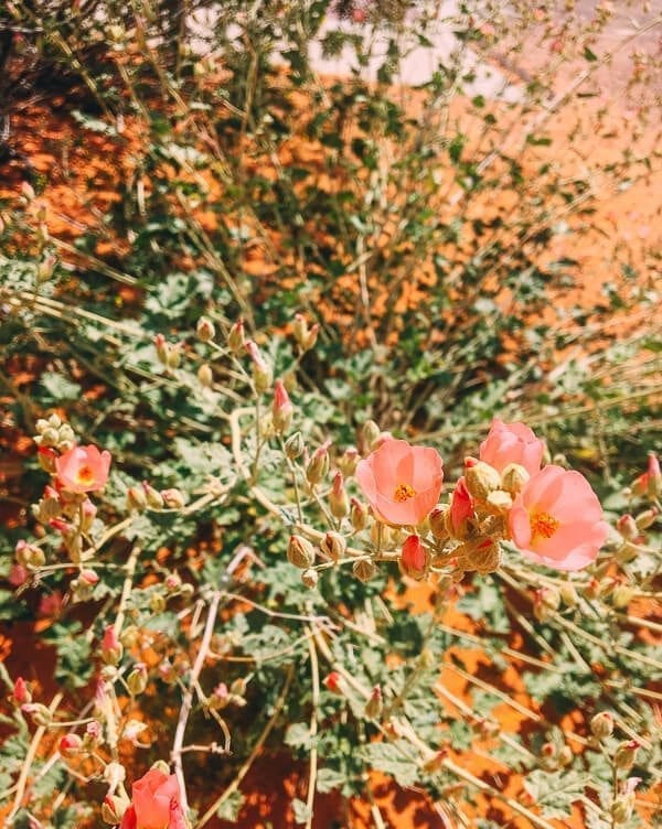
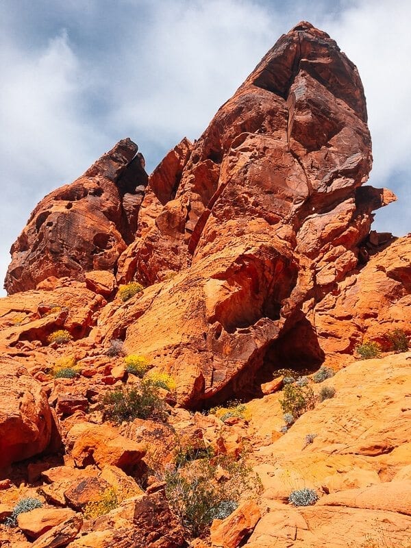
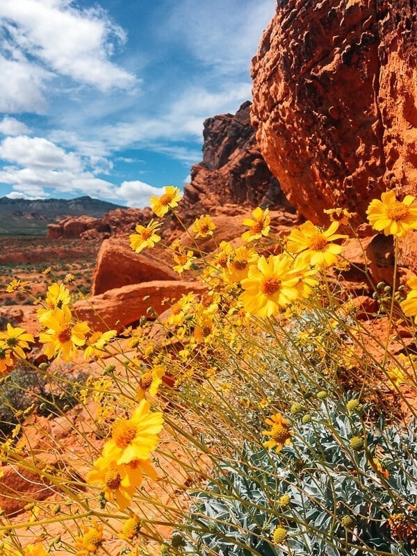
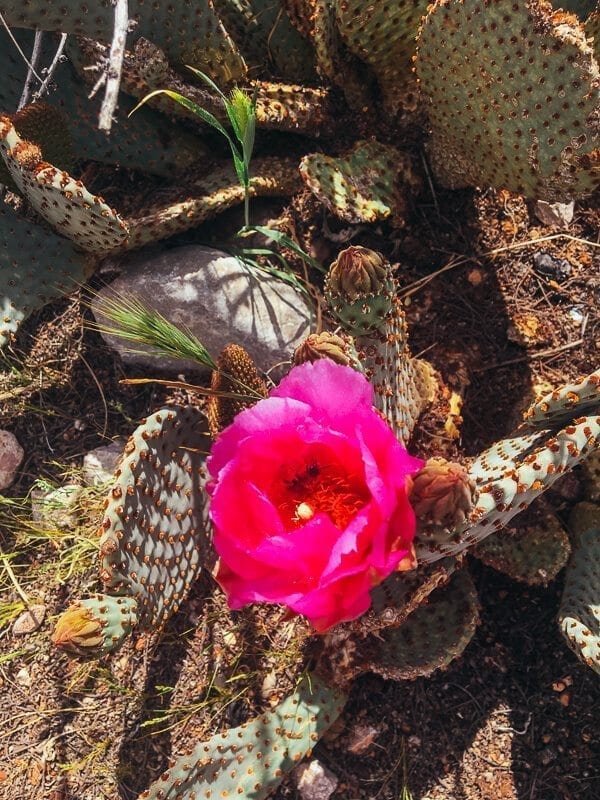
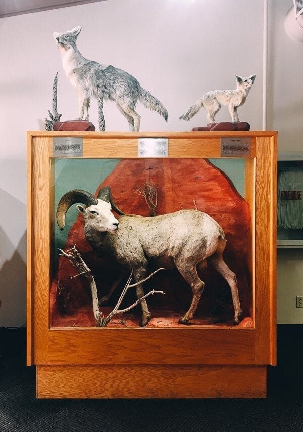
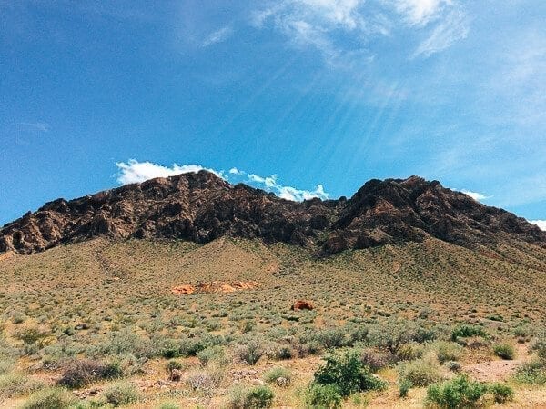
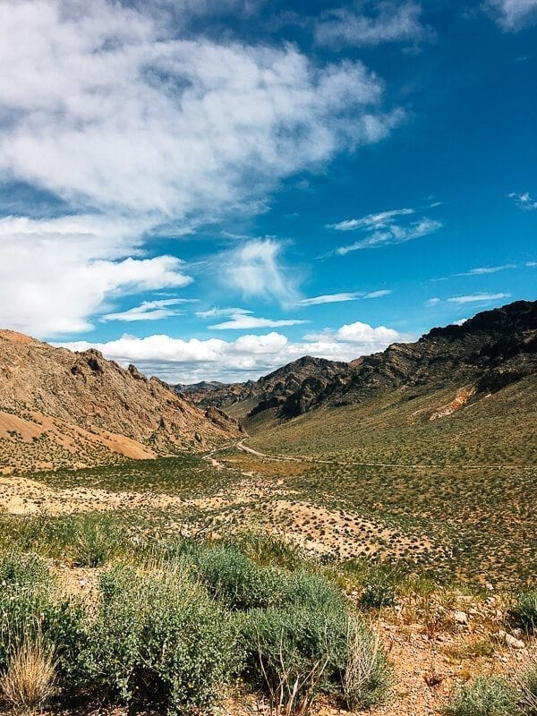
Looking for something to do on our last half-day out West, we decided to stop by Valley of Fire, which is an hour outside of Vegas. We were glad we did––we perused the visitor center, took pictures of pretty flowers, and parked in a really cool day-use area called the Seven Sisters, where we dried out our tent from the Zion rain and repacked all our suitcases––while getting to enjoy some really cool scenery.
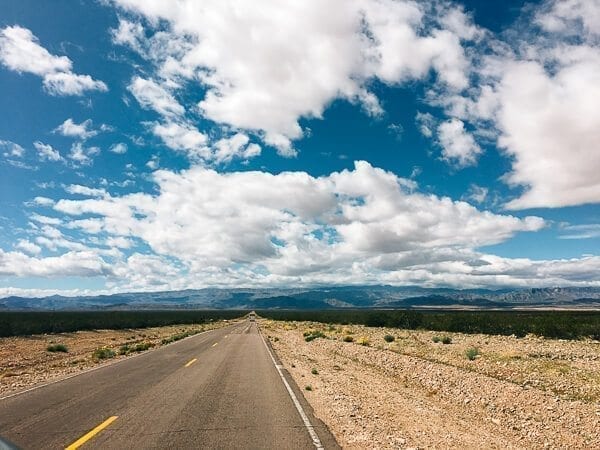
As we headed back on the road towards the airport, we were already thinking of when it would make sense to come back and see Arches National Park, Canyonlands National Park, Monument Valley, and all the other places Utah has to offer.
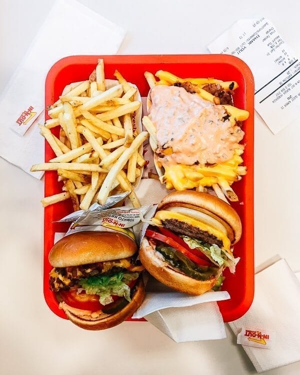
And before returning the car and flying out, we made our traditional pilgrimage to In N’ Out.
Some things will never change.
When “tradition” looks like this…
Why would it?
